This is the first of our City Tours around Capitola and Santa Cruz beaches. It is a new way to discover our surroundings .
Most of the time in the past I used to carry a book and a map, trying to follow directions and tips given by people who knew their city very well. I always felt sorry that despite their efforts, I always missed some of the great things they wanted us to see.
Building the duoveo app, I thought this could be an additional tool, to help each of us to enjoy and facilitate the discovery of the cities around us.
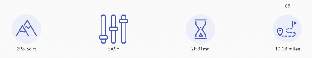
This city tour is about Capitola and Santa Cruz beaches. It is about 11 miles long, almost flat. Although some parts of the track are not accessible to handicapped people, they can enjoy the best portion of it, especially the first part.
Santa Cruz History
Santa Cruz was founded by the Spanish in 1791, when Fermín de Lasuén established Mission Santa Cruz. Soon after, a settlement grew up near the mission called Branciforte, which came to be known across Alta California for its lawlessness. With the Mexican secularization of the Californian missions in 1833, the former mission was divided and granted as rancho grants. Following the American Conquest of California, Santa Cruz eventually incorporated as a city in 1866.
If you would like to know more about the city: Santa Cruz city
Capitola : Santa Cruz Neighborhood
Capitola is a Monterey Bay City located within the Santa Cruz Mountains, approximately 70 miles south of the city of San Francisco. You can access the city either using the CA-17 or CA-1. I would recommend the CA-1. Capitola Village—the heart of historic Capitola—has not changed much since it was originally founded by Frederick Augustus Hihn on June 18, 1874. Sure the buildings have changed, the entire nature of seasonal vacations have been altered, and the industrial aspects of the village are no more, but when it comes down to it, Capitola Village is still a resort town. And that is mostly because of the railroad.
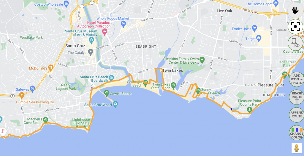
Capitola and Santa Cruz beaches- Adventure Map
Below you will find an adventure map from the duoveo app that shows our city tour around Capitola and Santa Cruz beaches.
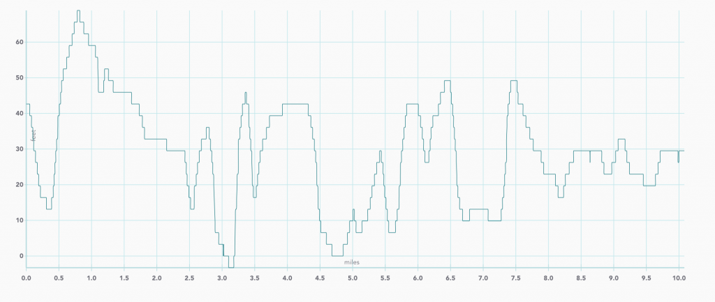
Elevation in feet
Detail of the City tour around Capitola & Santa Cruz beaches
A few spots at Capitola
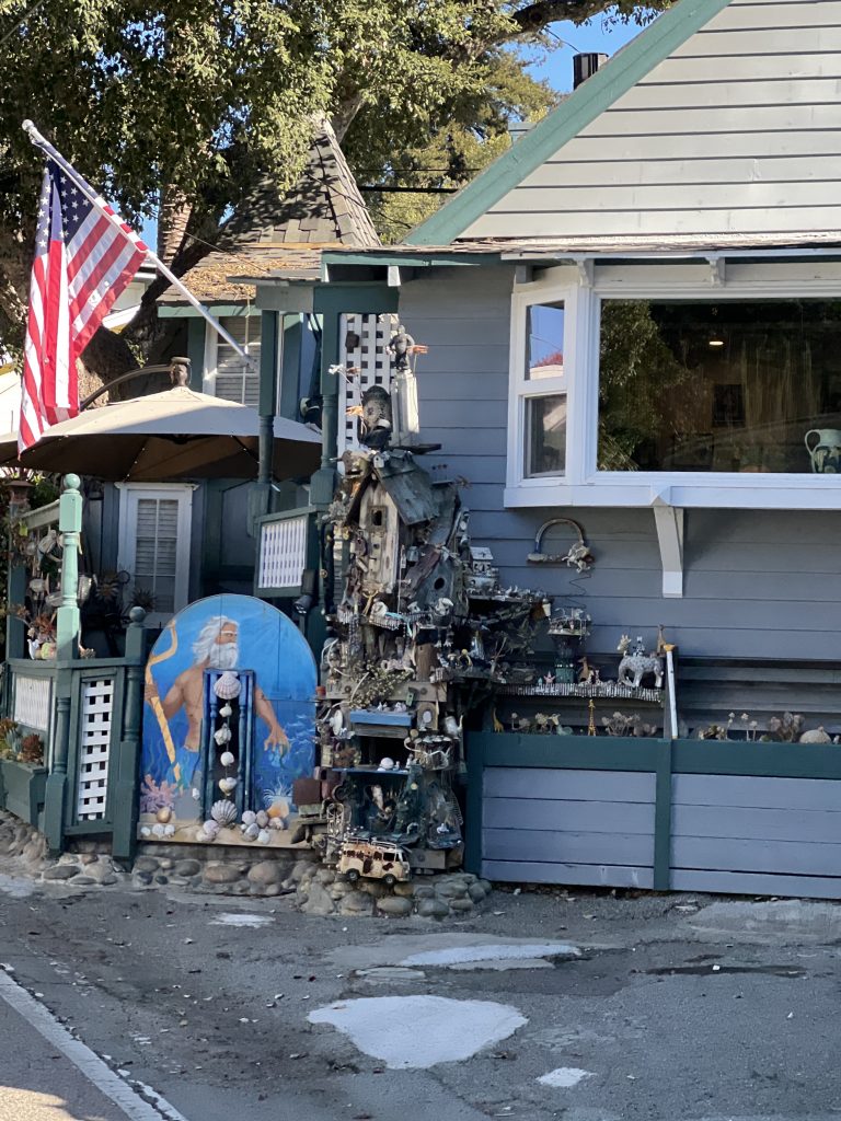
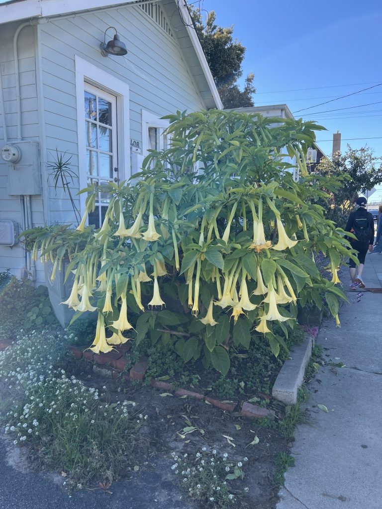
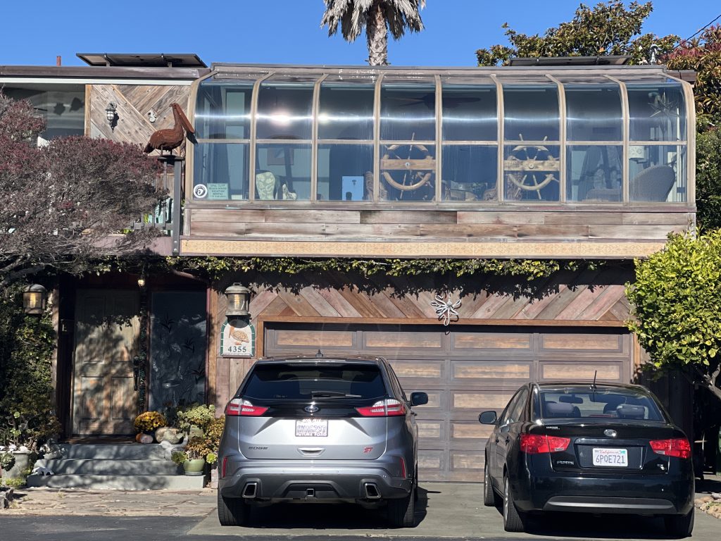
Park the car in a street of Capitola. My first shot was about the decoration of this house. Pretty amazing what you can see in this area. Even if it was not part of the main purpose of the adventure, I wanted to show that at any point you may discover incredible things.
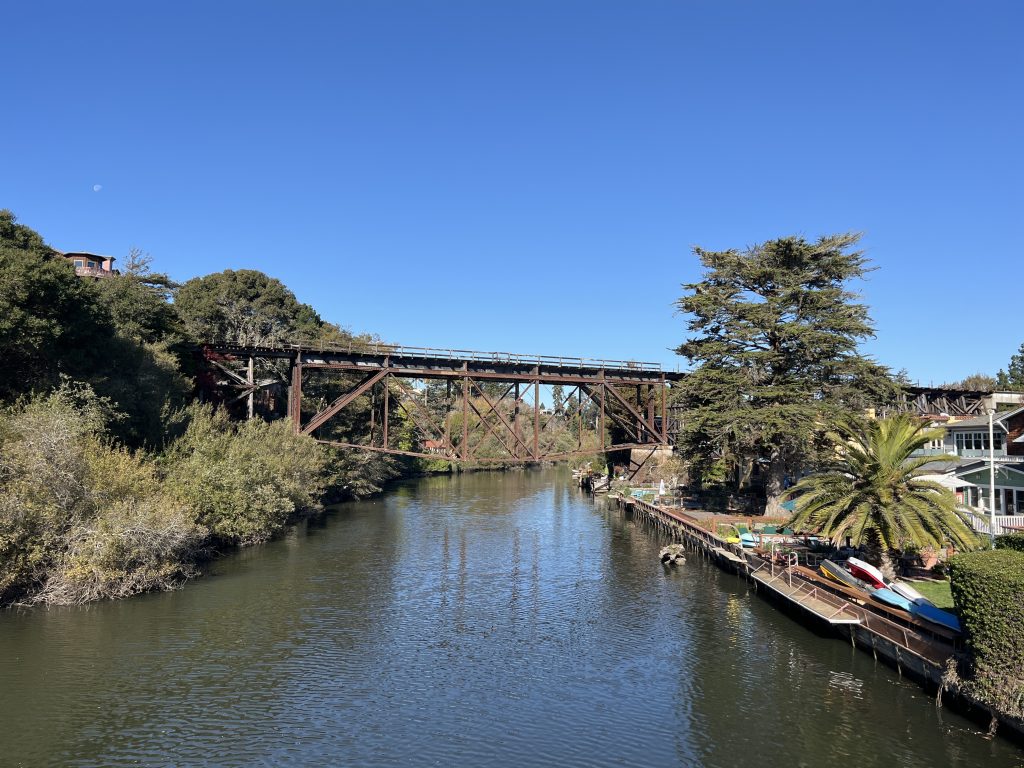
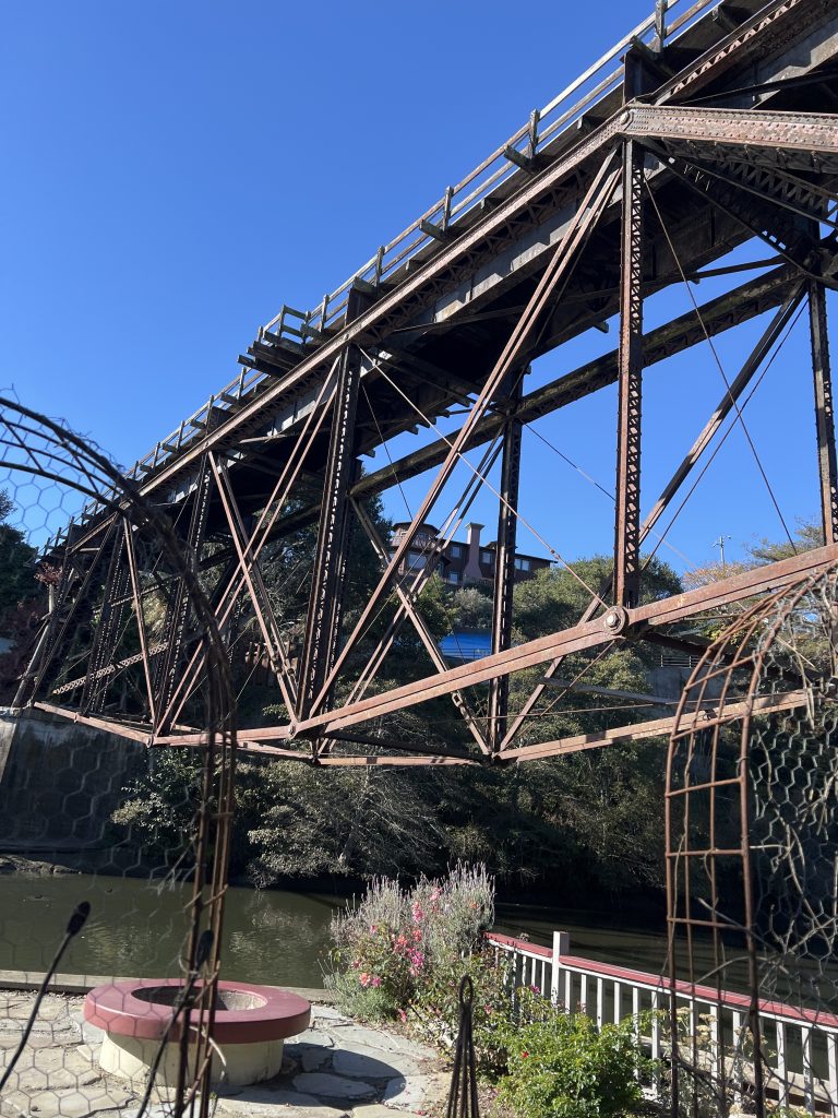
A typic old infrastructure built in the 18th century. Pretty nice to see that they were able to keep it strong. It is a very nice spot. You can walk along the river for a little bit. From the houses built on the border of the river you can hop on a small boat and go.
If you want to know more, here is a link, which will explain more about Capitola and the railroads: Santa Cruz & railroads
Let's start our Journey
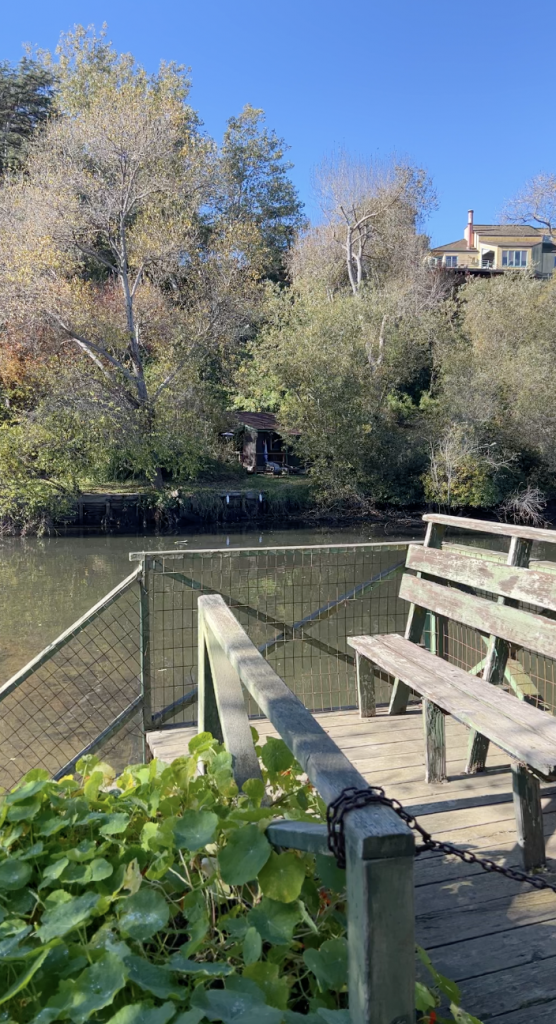
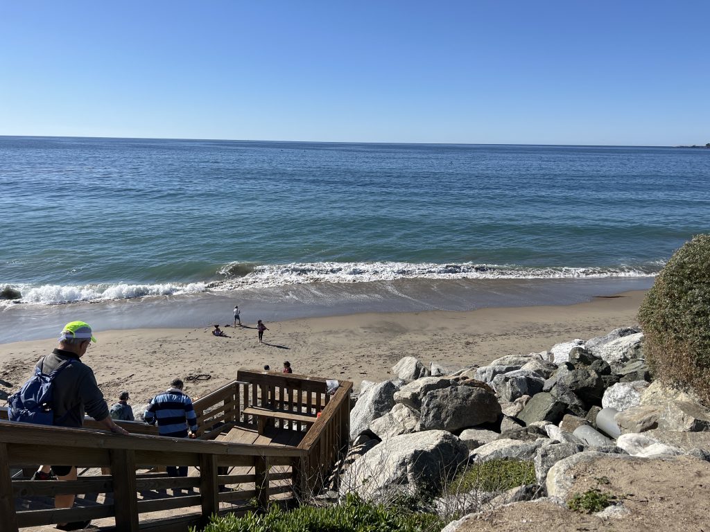
Let’s start, the picture was taken from the small trail along the river. Owners of the house installed private facilities to enjoy the river. The video is the starting point of the journey. You can see the beach and on the right side a hotel where you can stay.
Starting point
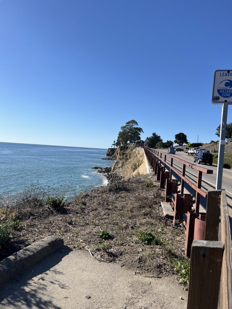
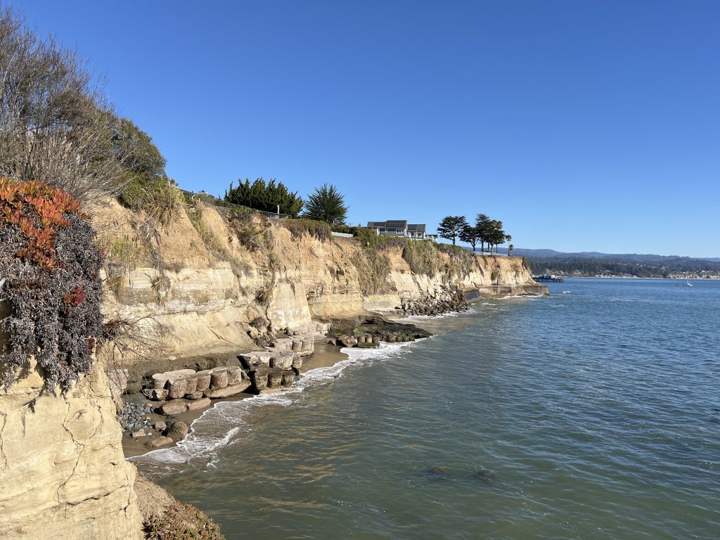
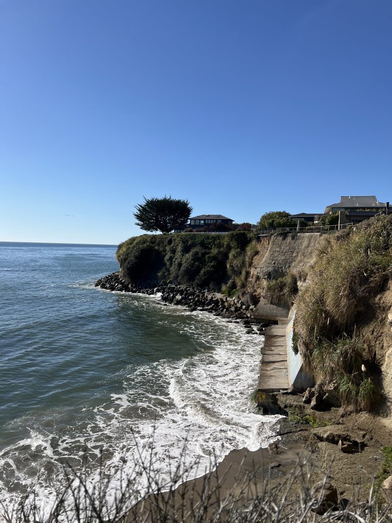
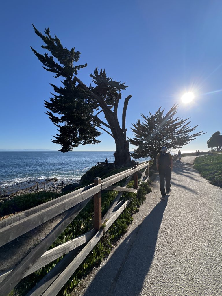
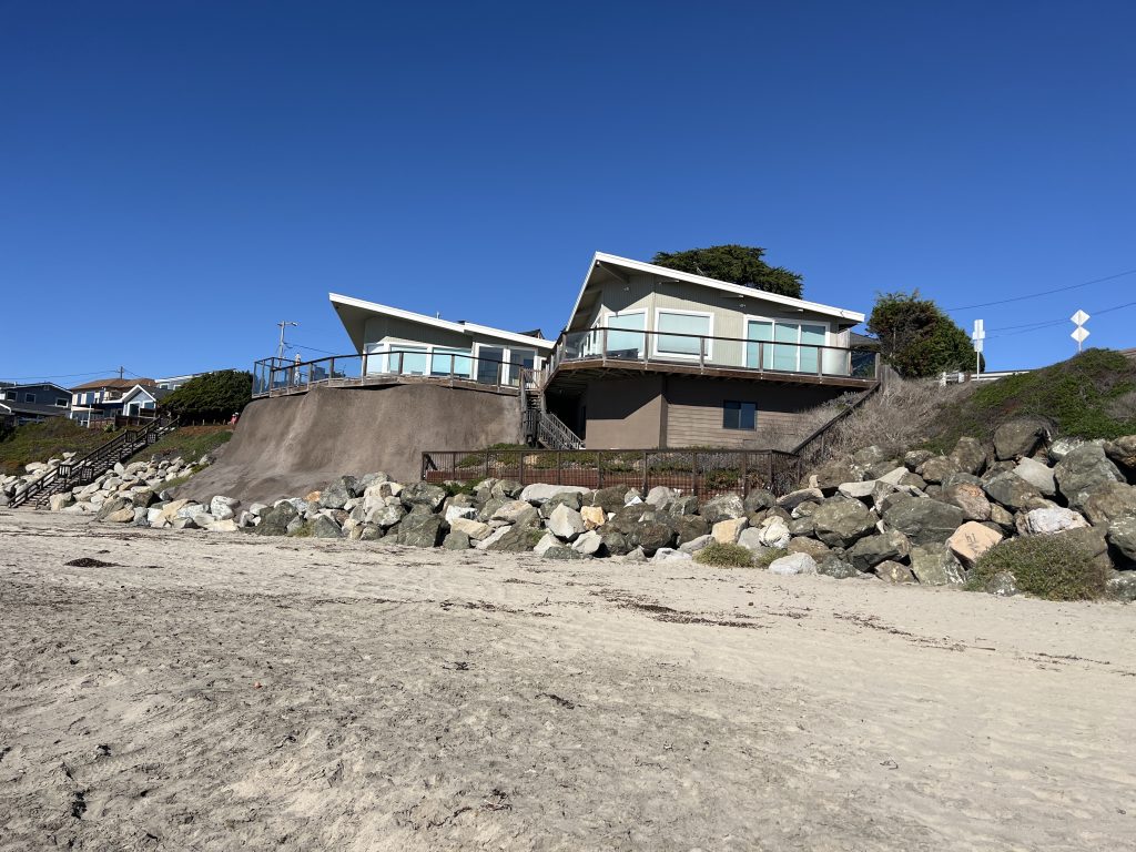
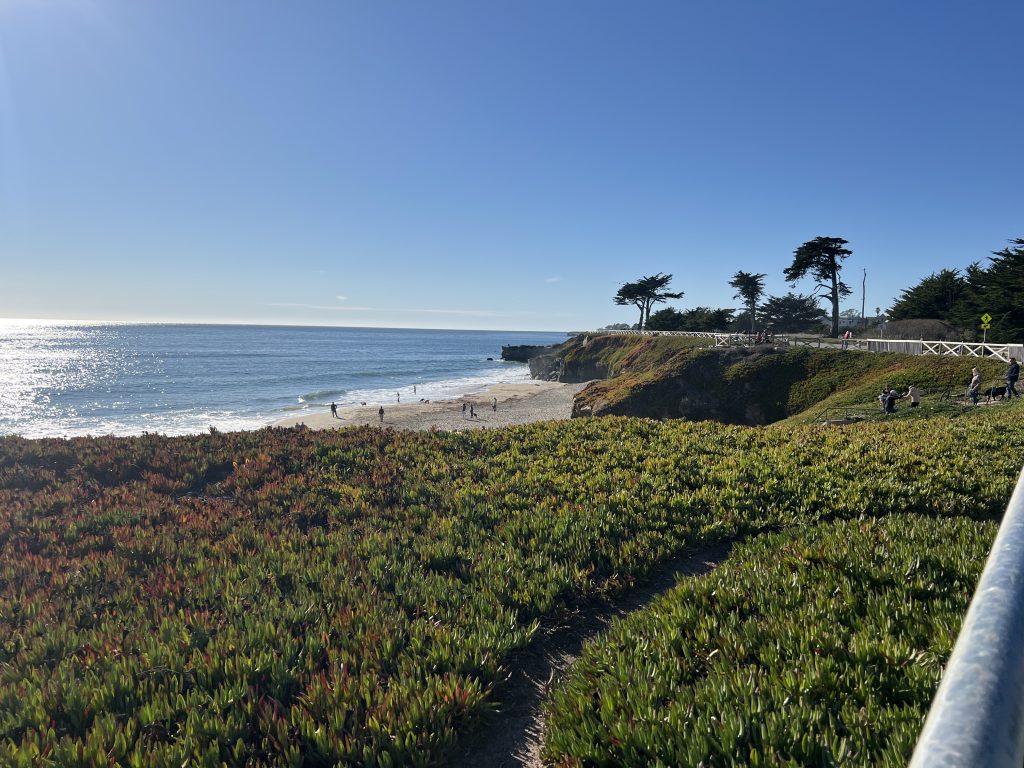
One of the main characteristics of this area is the combination of steep cliffs and beaches. Houses built so close to the edge that you worry about their inhabitants.
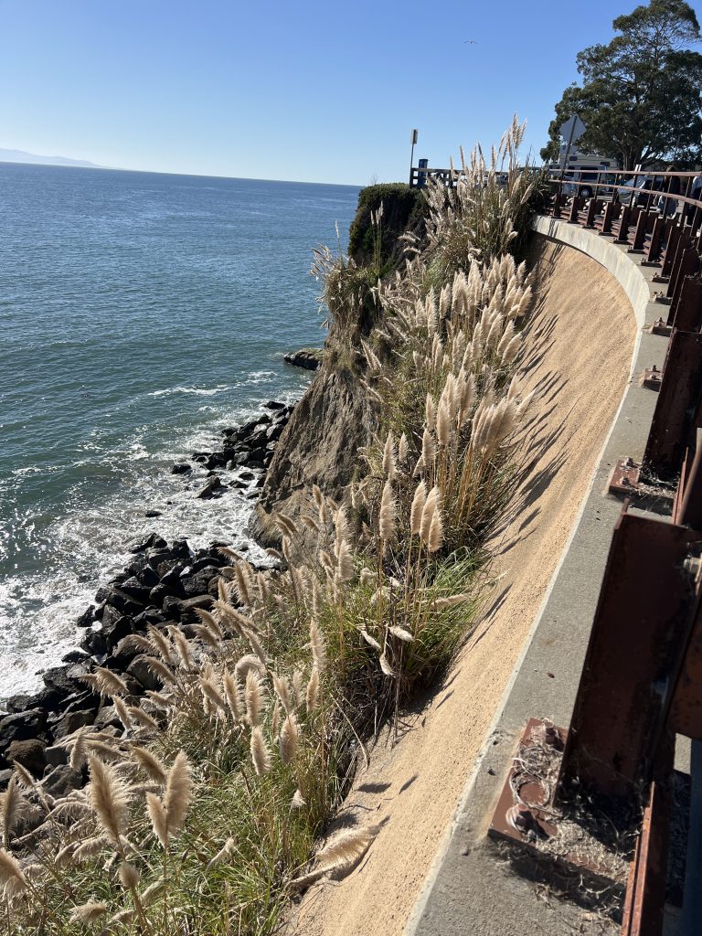
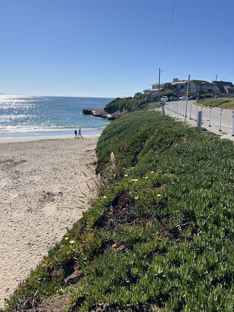
Vegetation is able to make its way in surprinsgly tiny spaces. Those beautiful pampas thrive there ,obviously. I am not sure how long this area will resist against the Pacific, but it seems that there has been a lot of effort put in to protect and keep this area safe.
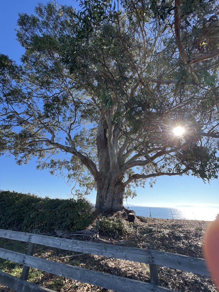
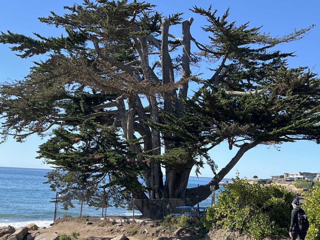
Thought only tiny and light vegetation would be able to make it there ? Absolutely not . Along the way large trees have grown even close to the cliffs.
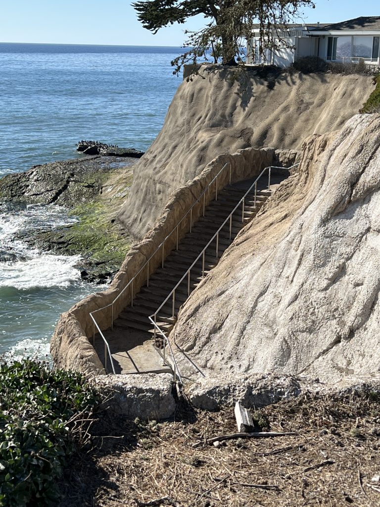
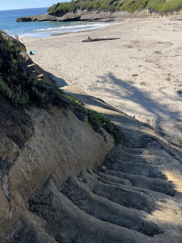
Here, you find out that some parts of the coast are not accessible at lot, you need to walk for some yards to get a new available spot to access the beach. Here is one. Using our duoveo app on IOS or Android (our app is free), you will be able to locate those easily. Indeed, each picture taken is located on the map precisely where it was taken. So, it is easy to find each of the medias that you would like to see. Further, there is a stair going to the pacific, but no beach at this point. It is more for the surfers.
Cliffs
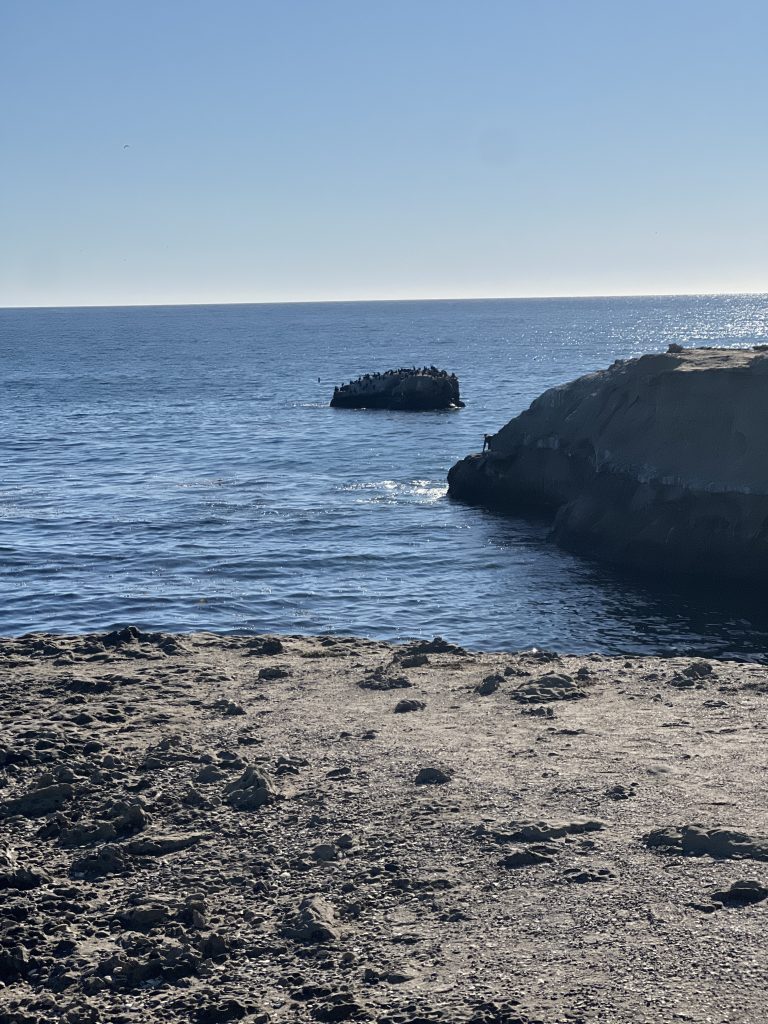
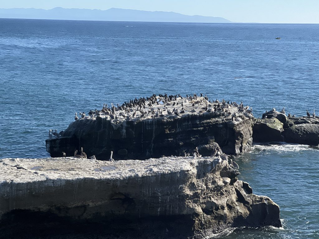
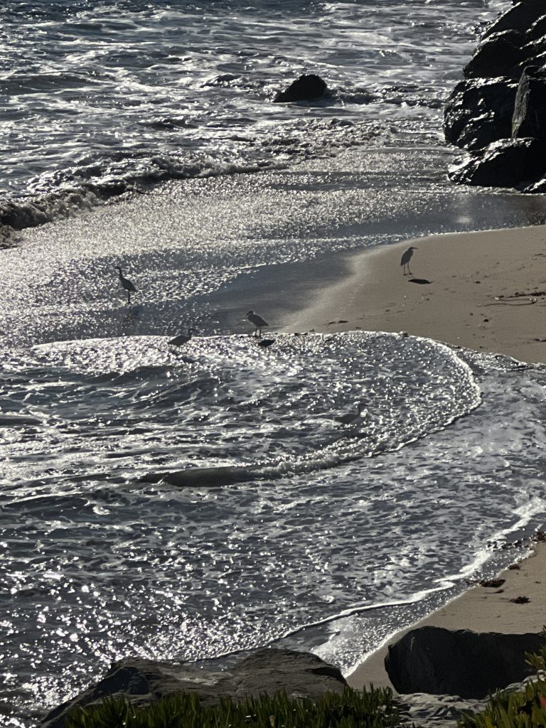
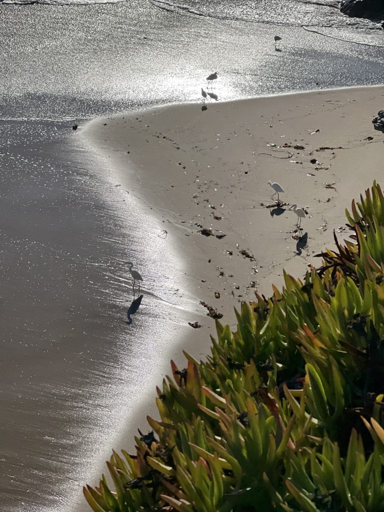
Another point of view of the cliffs. Very steep and no too many access points. From this spot you will see a lot of birds especially pelicans flying in squadrons. But, it was difficult to get a close enough picture . Also, there is a lot of wildlife in this area. Indeed, if you take your time you will see many different species. Moreover, they have found spots that are safe from us and from their predators.
This is a naturel cliff portion, attacked by the winds and the Pacific Ocean. Resisting the best it can, until it falls. Some areas can be preserved, some others can’t.
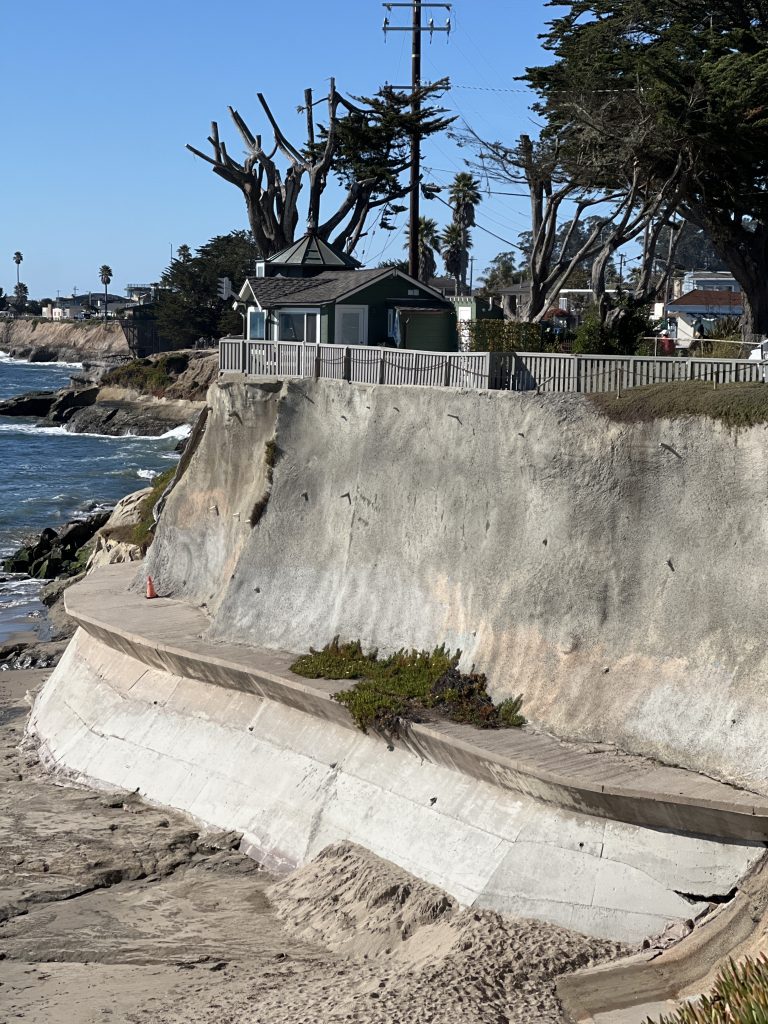
There, you can see the limit of what you can do to protect the cliff. The road runs around it, and the only way to protect it, is to completely cover the cliff with cement.The base has been reinforced too. See the tiny house on the top, would you like to live inside?
Some other reinforcements have been added, here some large blocks of granit. It helps but for how long ?
To access to the sea, stairs have been built in several locations. Here you can access but have to jump in the water right away!
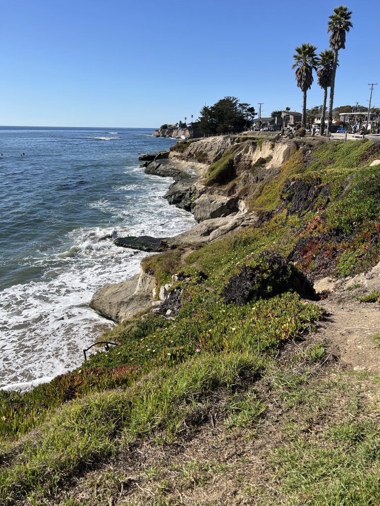
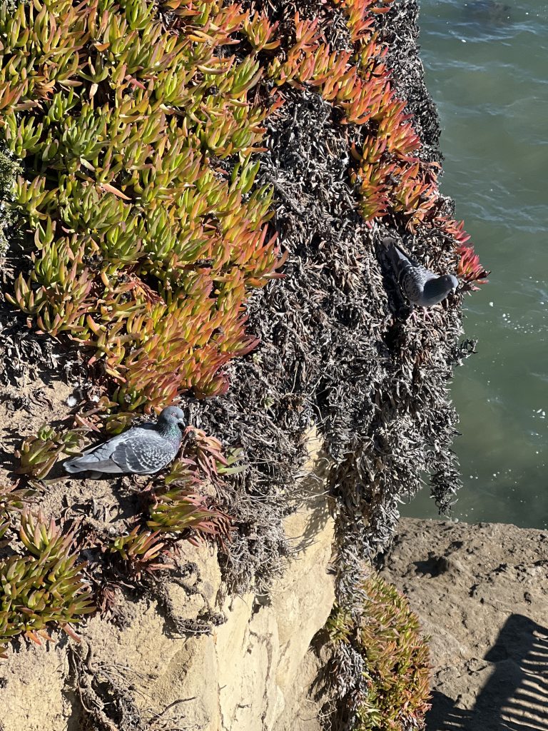
Santa Cruz beaches & vegetation
The vegetation is quite colorful, and so is the water. However, even with the best camera it is not easy to render the colorfulness of the image. The contrast between the Pacific water combination of green and blue, and the red and orange vegetation is astonishing.
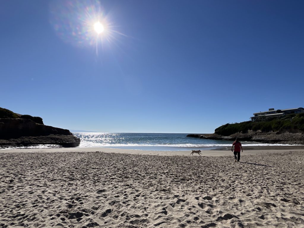
The Pacific Ocean: cold but full of life. This is the first beach, named two-six beach. Note, that some of Capitola and Santa Cruz beaches are open to dogs. I can’t tell you which ones , but there are several .
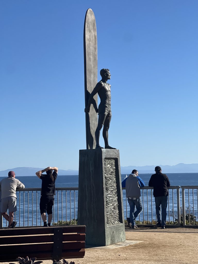
Surfers
Surf is very popular here ! In fact, there are plenty of nice spots around Capitola and Santa Cruz beaches to practice .
Furthermore on that specific Sunday, there was a competition . It is a little noisy when you approach the areas because there are many spectators.
The surfer has only a few seconds to act, this is going very fast. Black wetsuits are commonly seen among younger and older surfers alike, as the water is quite chilly here.
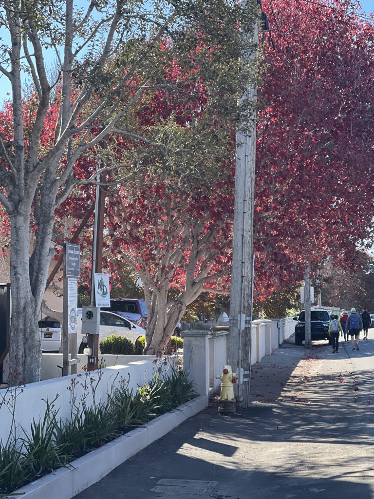
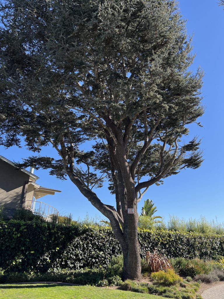
The Trees
Along the way, we walked by the city. I took some pictures of the different trees . However, I have put only some of them. I can’t tell their name, but I may add that later. If you follow the path using the application, you will see them. Also, if you want to know where they are located, just look for the photos in the map.
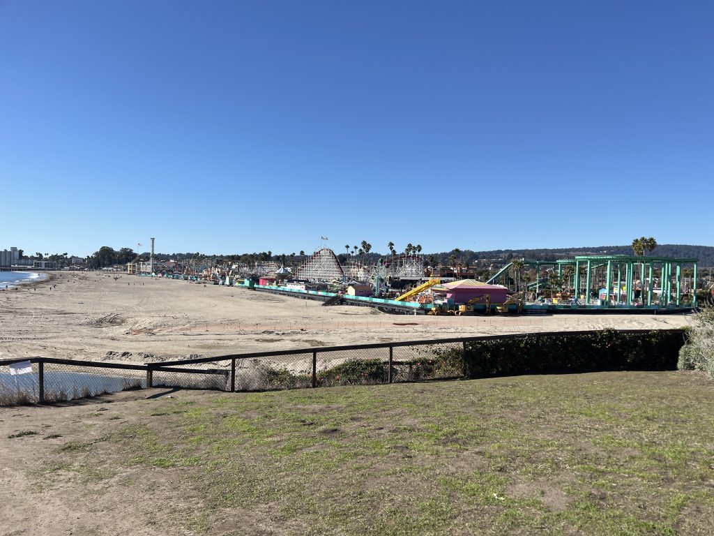
Capitola and Santa Cruz beaches
Below you can see the beautiful pictures taken with the duoveo app of Capitola and Santa Cruz beaches.
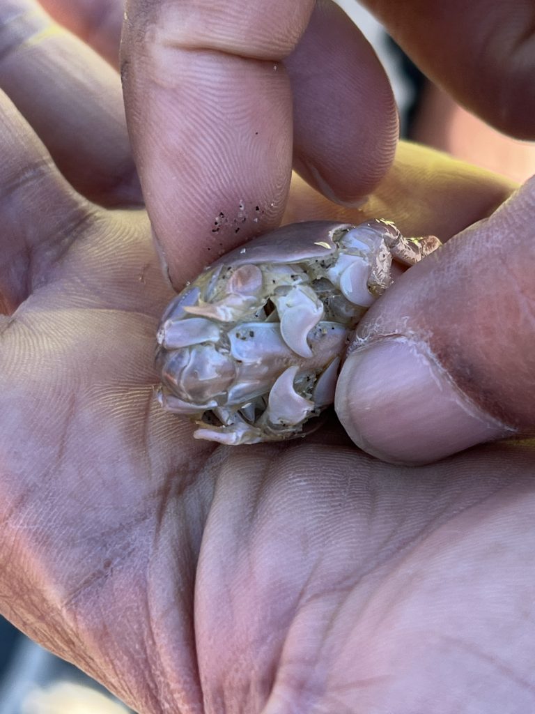
The wild life around you
Here is an amazing pelican spot! Indeed, many of them are laying on the top of the rock. Moreover, it’s quite a safe place over there and they seem ready to go for lunch.
A little adjustment is required. Pelicans do that all day long to get some tiny pieces of ??? Too small for my eyes!
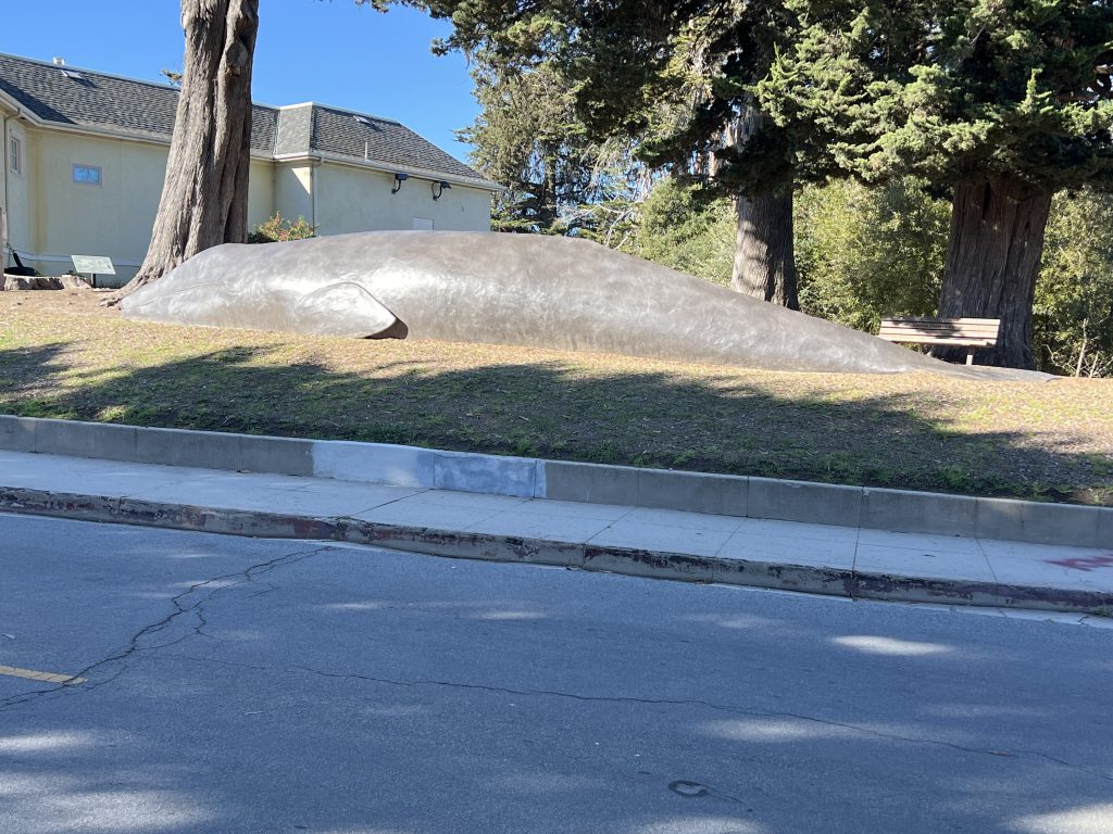
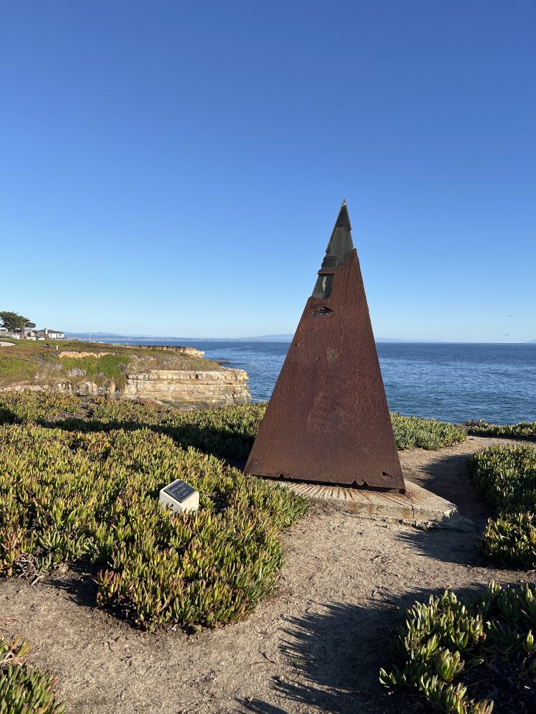
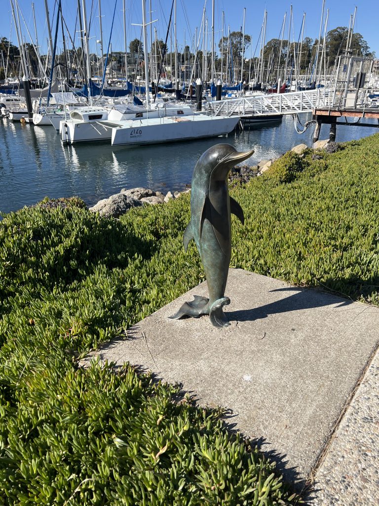
Not to be missed
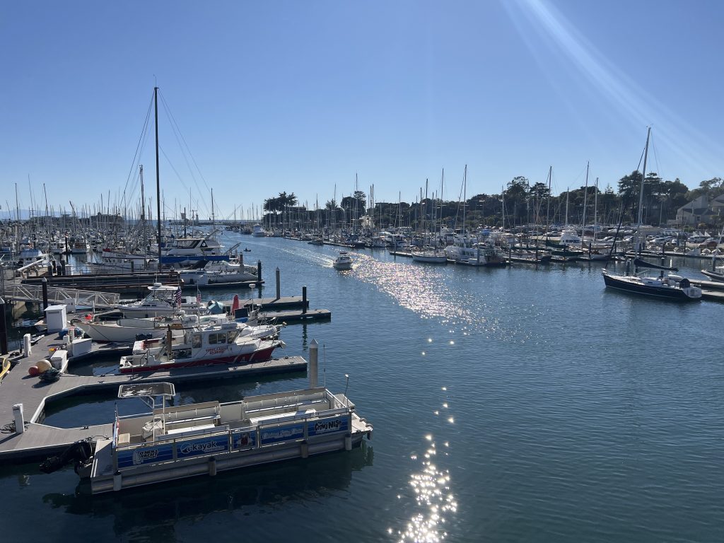
The Boats
The harbor is full of boats. Now, I am on top of the bridge crossing the river. Surely, you have boats on both sides. If you enjoy a large variety of them, this is a nice place to be!
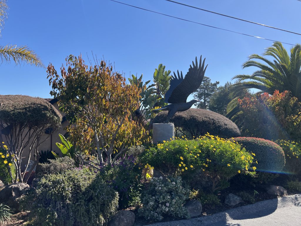
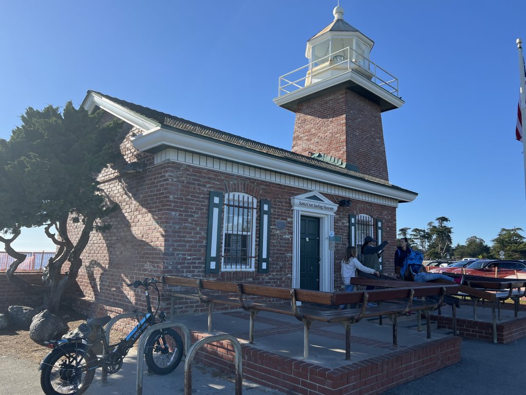
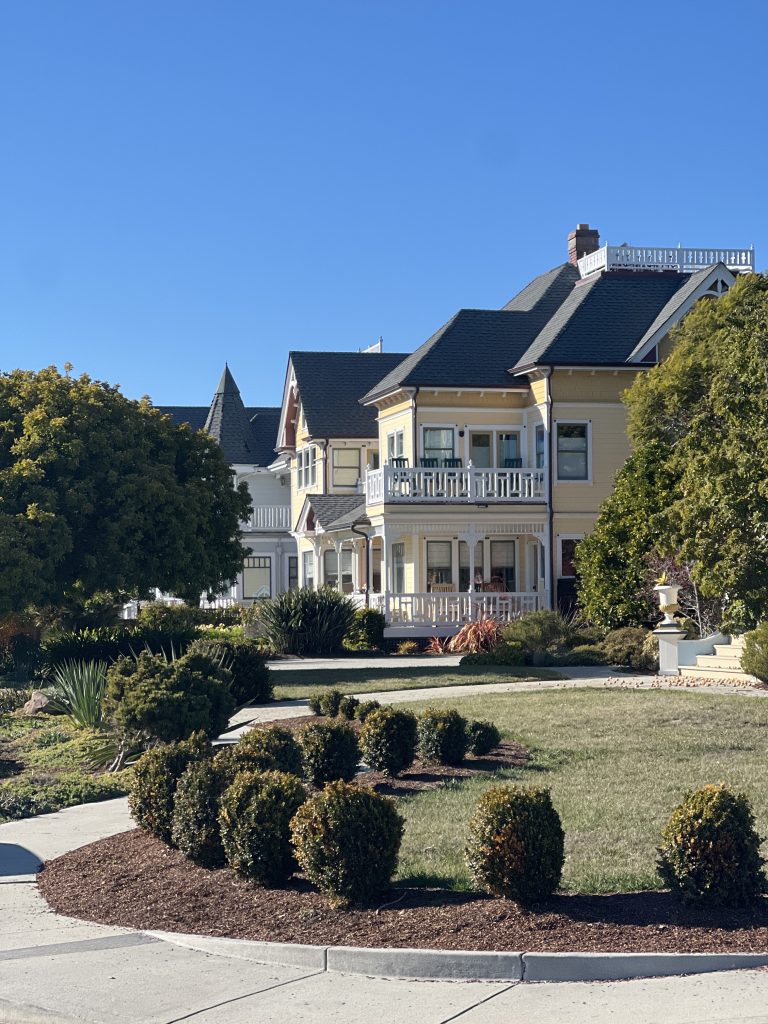
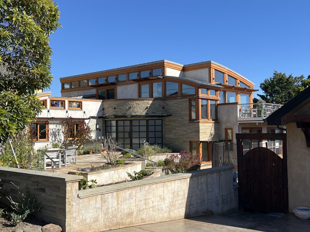
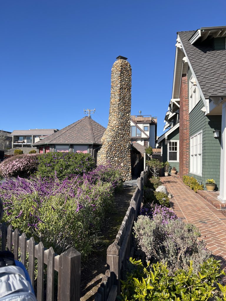
Architecture
Close to the end, we were passing by …
I hope you enjoyed discovering Capitola & Santa Cruz beaches, their history, wildlife, and architecture.
duoveo APP
duoveo provides a nonintrusive mobile experience supported by a caring community, helping you find your path to well-being at your own pace.