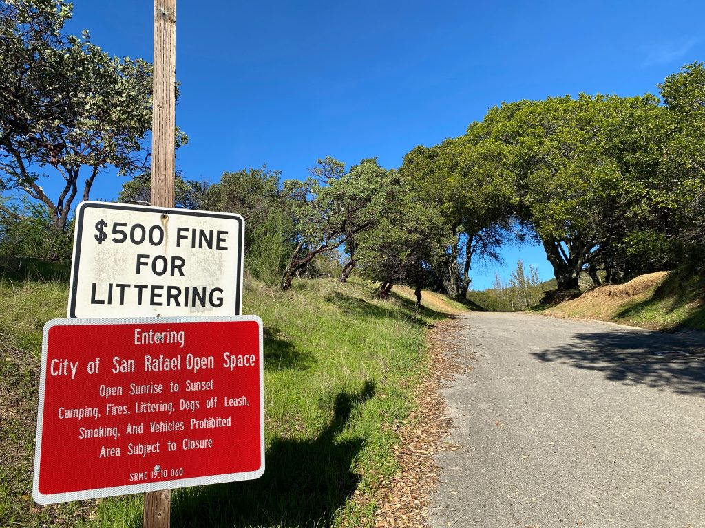
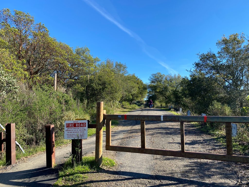
Firstly, Harry A Barbier Memorial Park is located in Marin county, between the city of San Rafael and China Camp State Park. As a matter of fact, this open space is well visited by mountain bikers, joggers and hikers alike.
Indeed, we started this 6 miles, 2 hours and 1000 ft elevation hike on Aquinas Dr. Moreover, note that there isn’t any parking, so we parallel parked on the steep street. Furthermore, this small challenge is well worth the otherwise steep climb you would have had to do on foot, in our opinion.
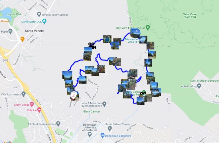
Adventure Map of Harry A Barbier Memorial Park
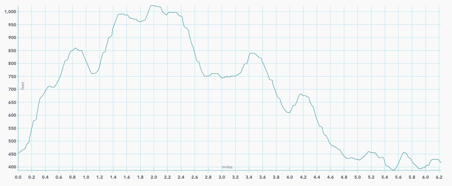
Elevation Map of Harry A Barbier Memorial Park
Start on the dirt road
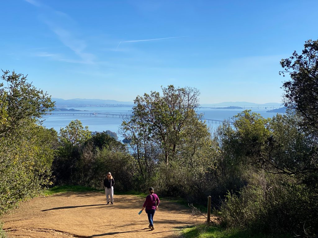
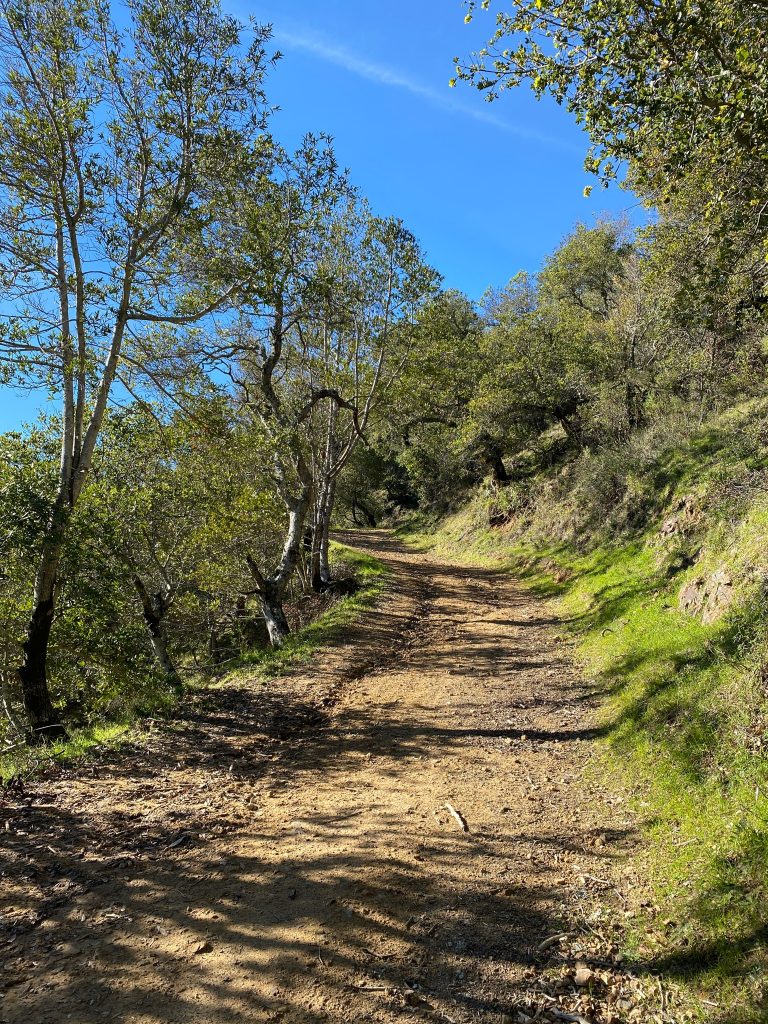
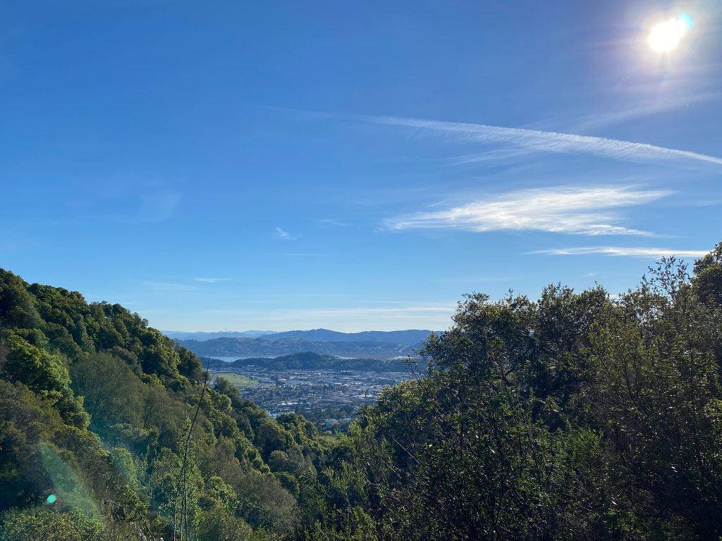
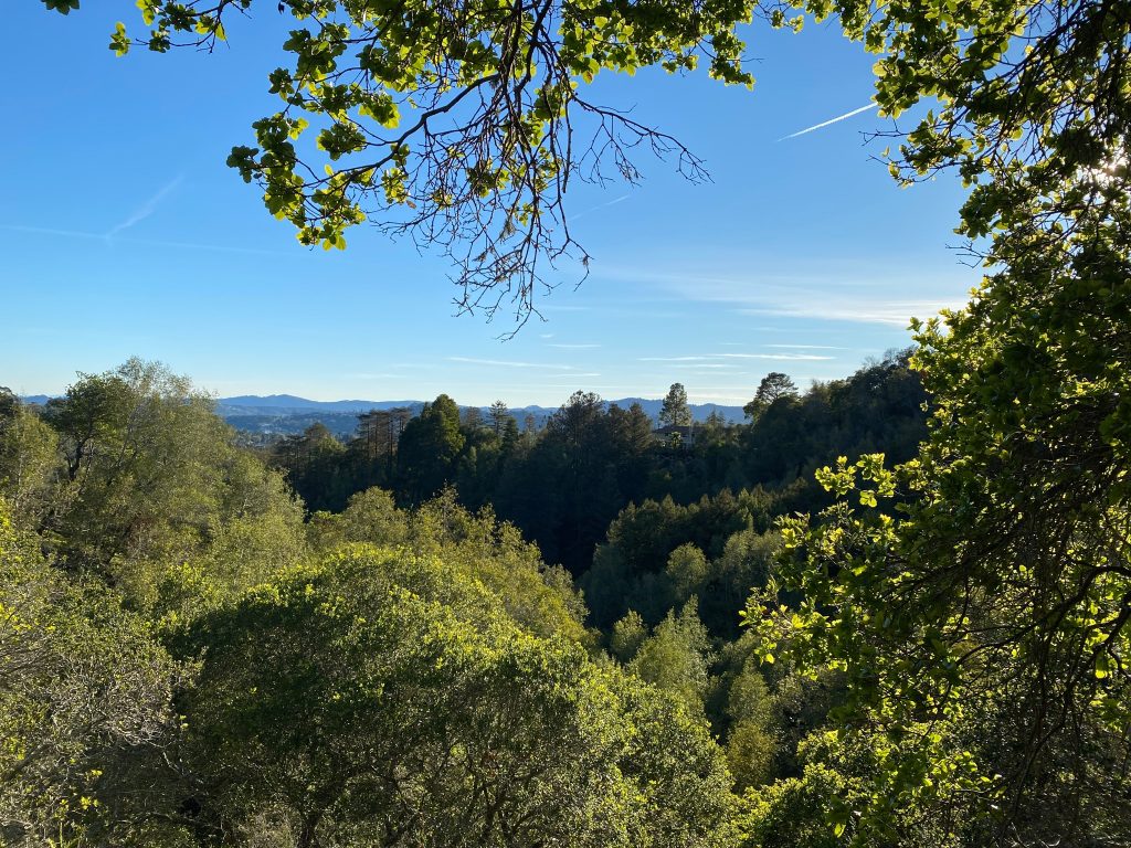
Firstly, this Harry A Barbier hike starts on wide dirt roads. Subsequently, as you gain altitude, you are treated with beautiful views of Mount Tamalpais, the city of San Rafael and the San Francisco Bay
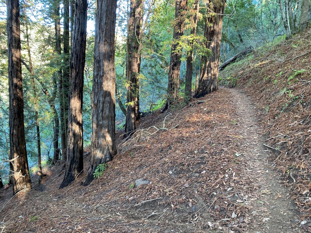
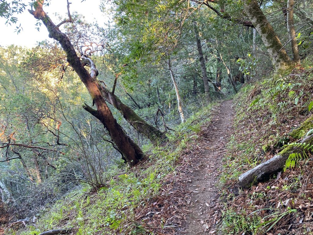
On the way back
Then, the way back is in the shade. Therefore, make sure that you bring with you an additional layer to keep yourselves warm, and plenty of water to drink. In addition, this trail is narrower and more windy.
Occasionally, you might encounter mountain bikers, so stay alert and yield especially to the bikers climbing uphill.
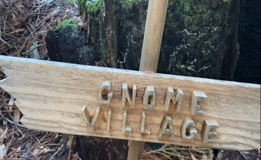
Christmas Ornaments Forest
Later, as you walk, you will pass a little Christmas ornaments forest. Soon, if you pay attention, you will be treated with the discovery of the Gnome village. Thus, it is a rare sighting in Bay Area hikes!
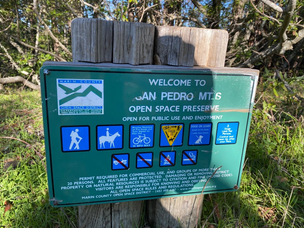
Finally, if you are interested in checking other parks in the near Harry A Barbier Memorial Park, you can visit the Marin County Parks website.
duoveo APP
duoveo provides a nonintrusive mobile experience supported by a caring community, helping you find your path to well-being at your own pace.