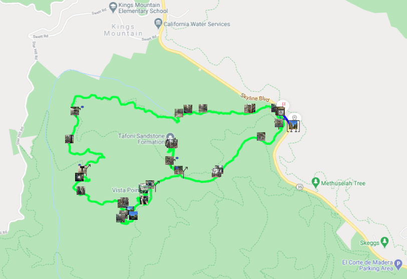
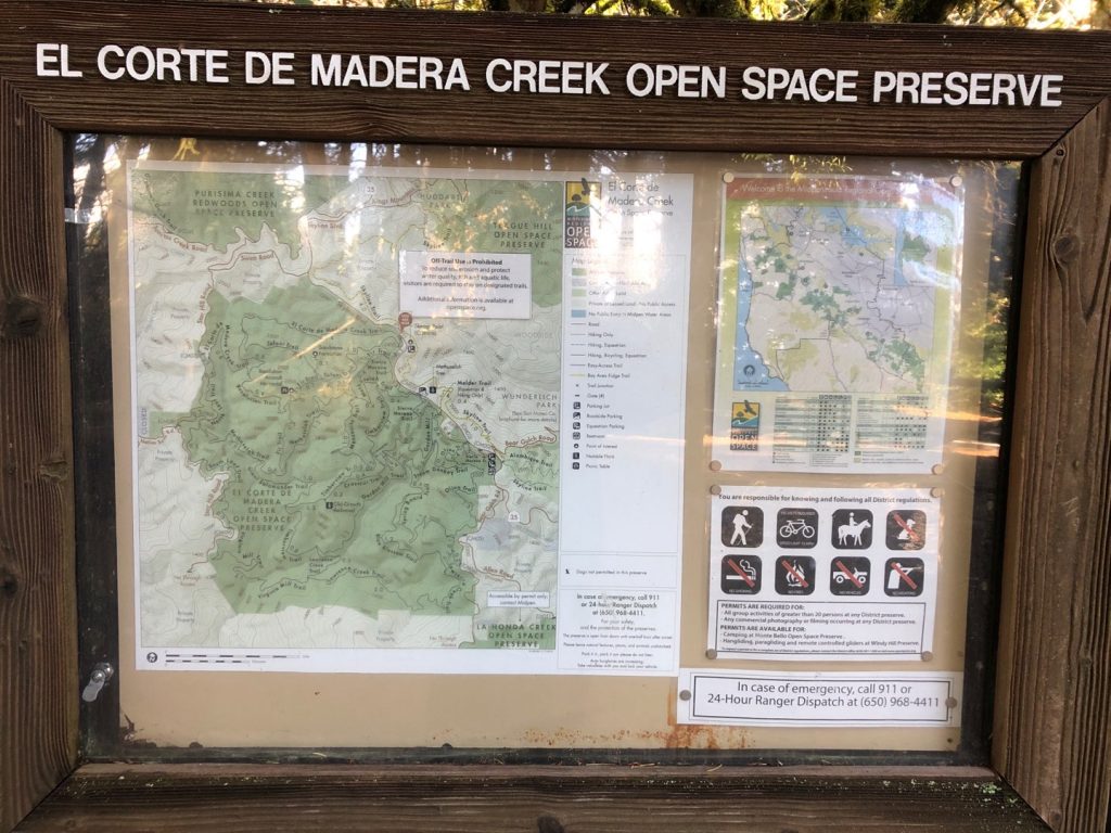
El Corte de Madera Creek Preserve adventure map
How to get to El Corte De Madera Creek trail
There are several parking lots along Skyline boulevard for the many trails and parks nearby. For this loop, the best is to park at Skeggs Point parking lot.
-

Park entrance -
Park map
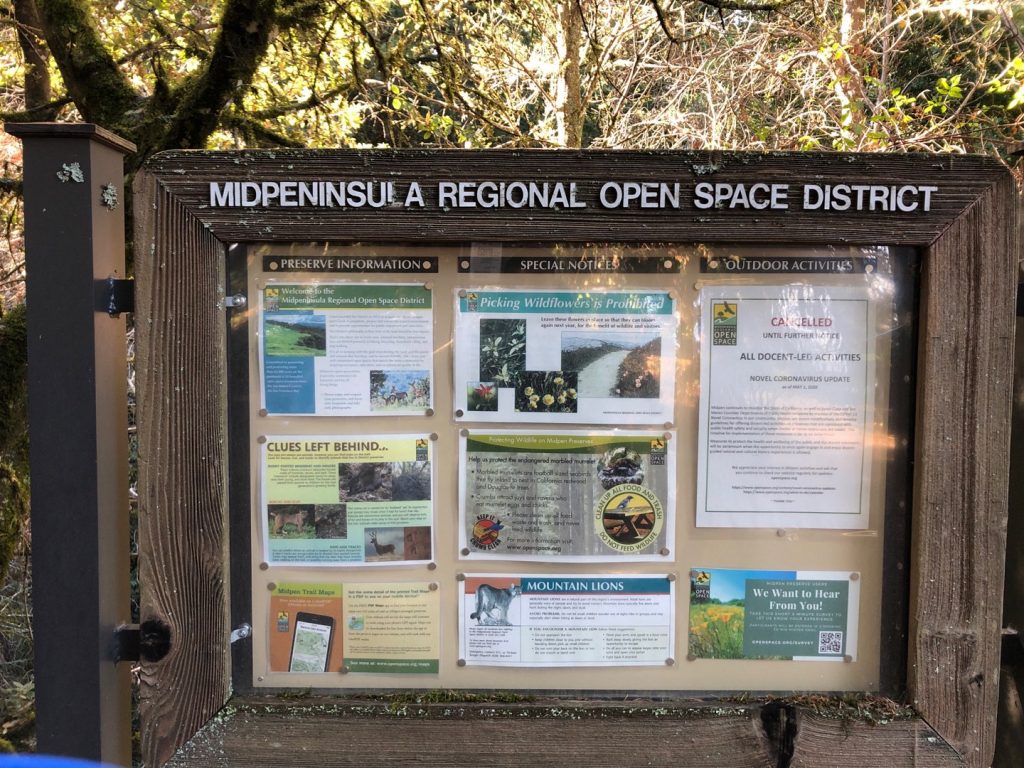
Get to El Corte de Madera Creek trail
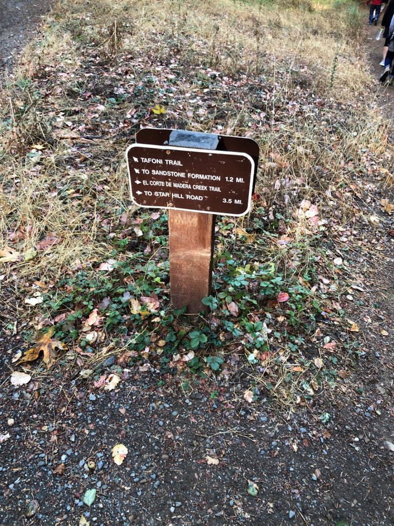
From the parking go left on Skyline and walk on the road until you reach the preserve entrance, on the opposite side of the road. Then, you will start on Tafoni trail for a little then join El Corte de Madera Creek trail and go right.
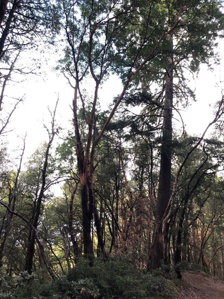
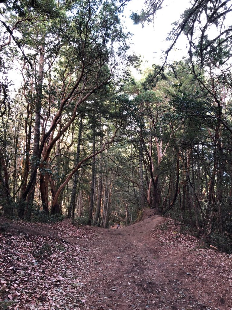
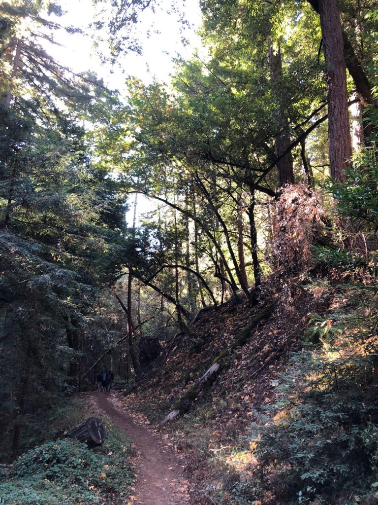
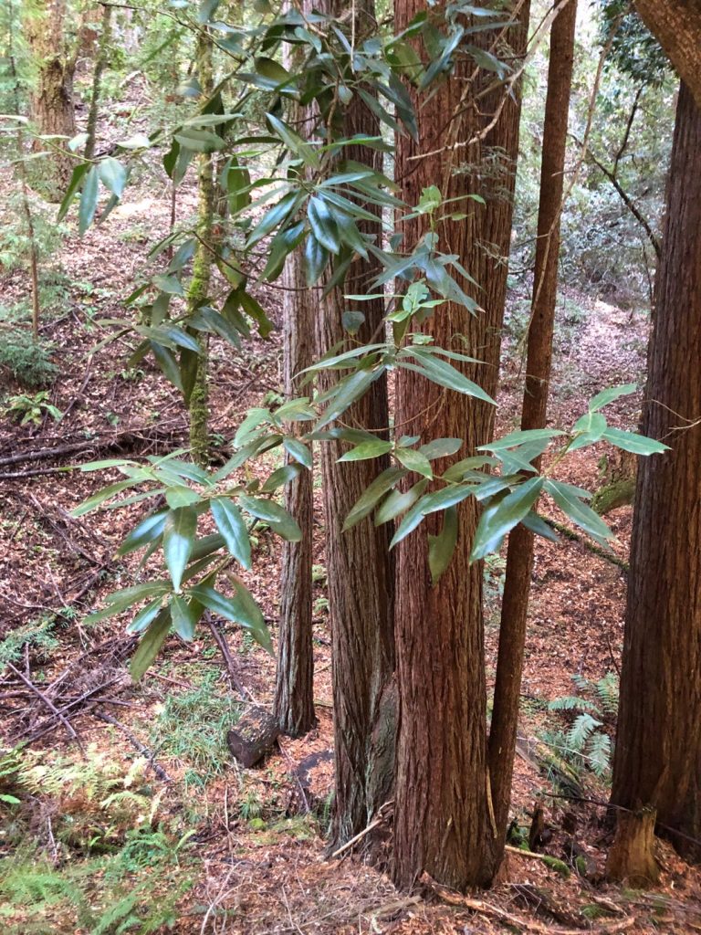
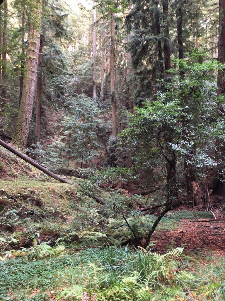
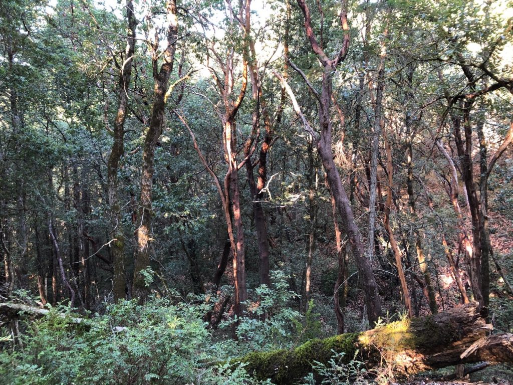
The hike is very pleasant, amongst a variety of tree species. In fall, they all have their own scent, mixed with the natural humidity in the air. It smells like pine and eucalyptus, although there are only native Californian trees. The hike is fun with a few bridges over the creek.
-

Trail start -
Along the creek -
All kind of trees -
Mixed forest -
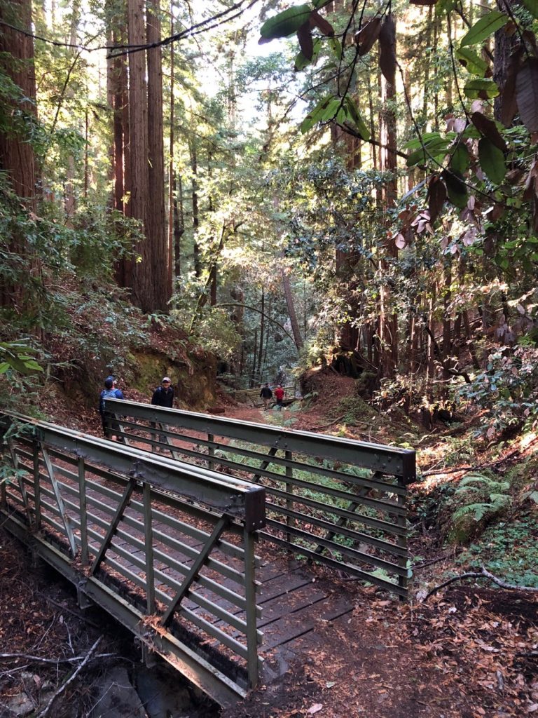
One of the bridges
Follow Resolution Trail
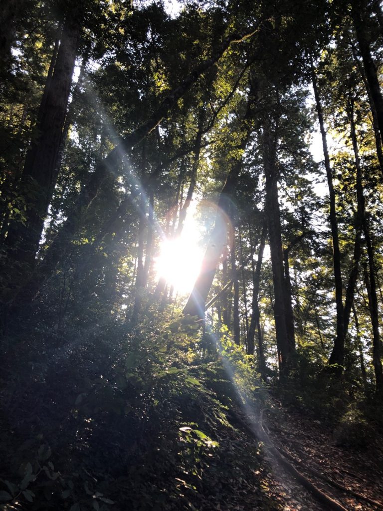
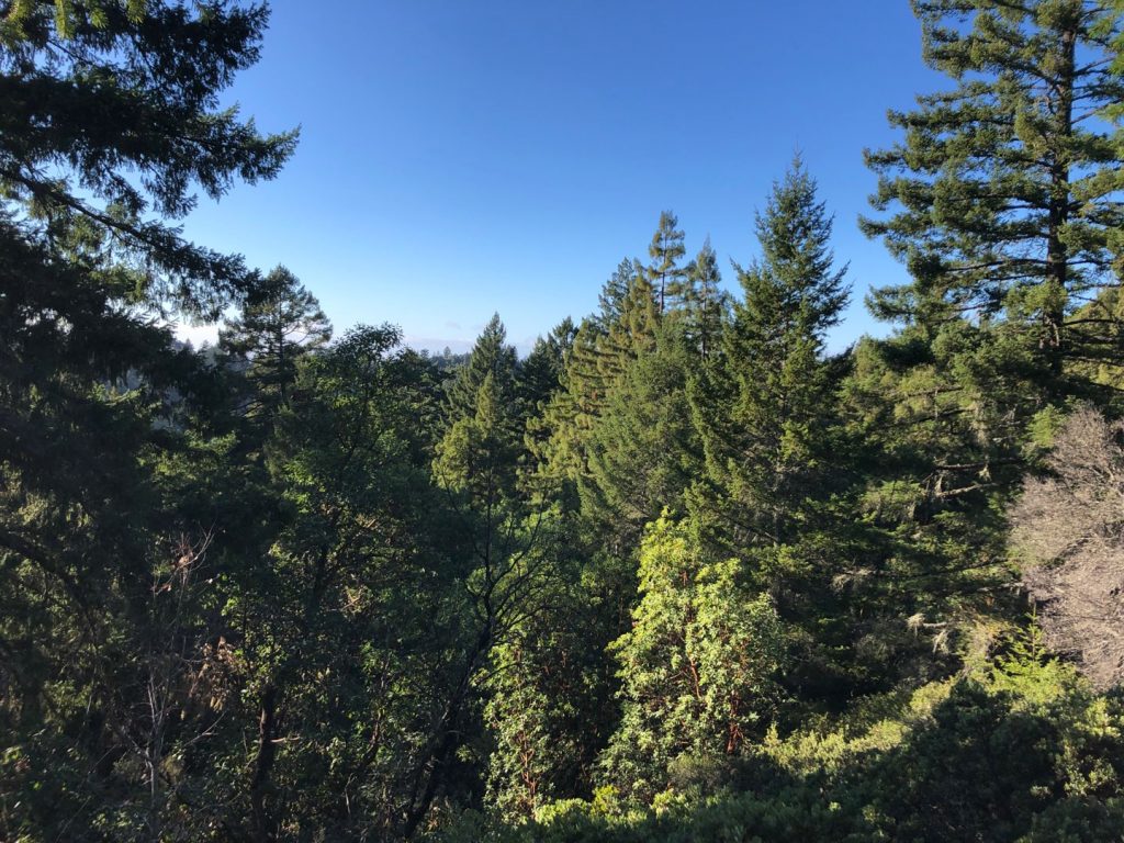
El Corte de Madera Creek Trail is much longer than we want for this loop, so we cut with Resolution trail. Indeed, it brings even more variety of tree species, and goes up until you finally can see the sky.

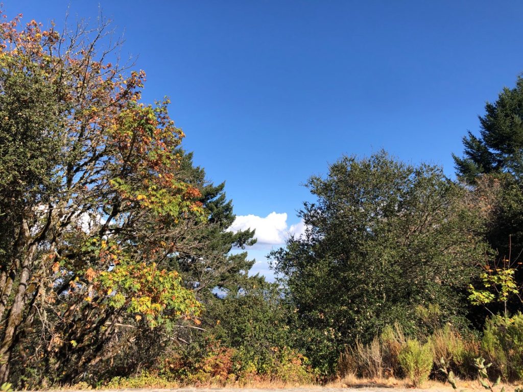
The Resolution Memorial and the Vista Point
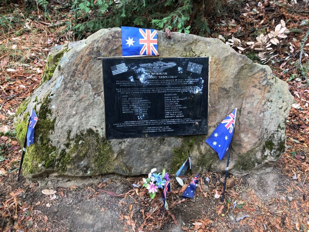
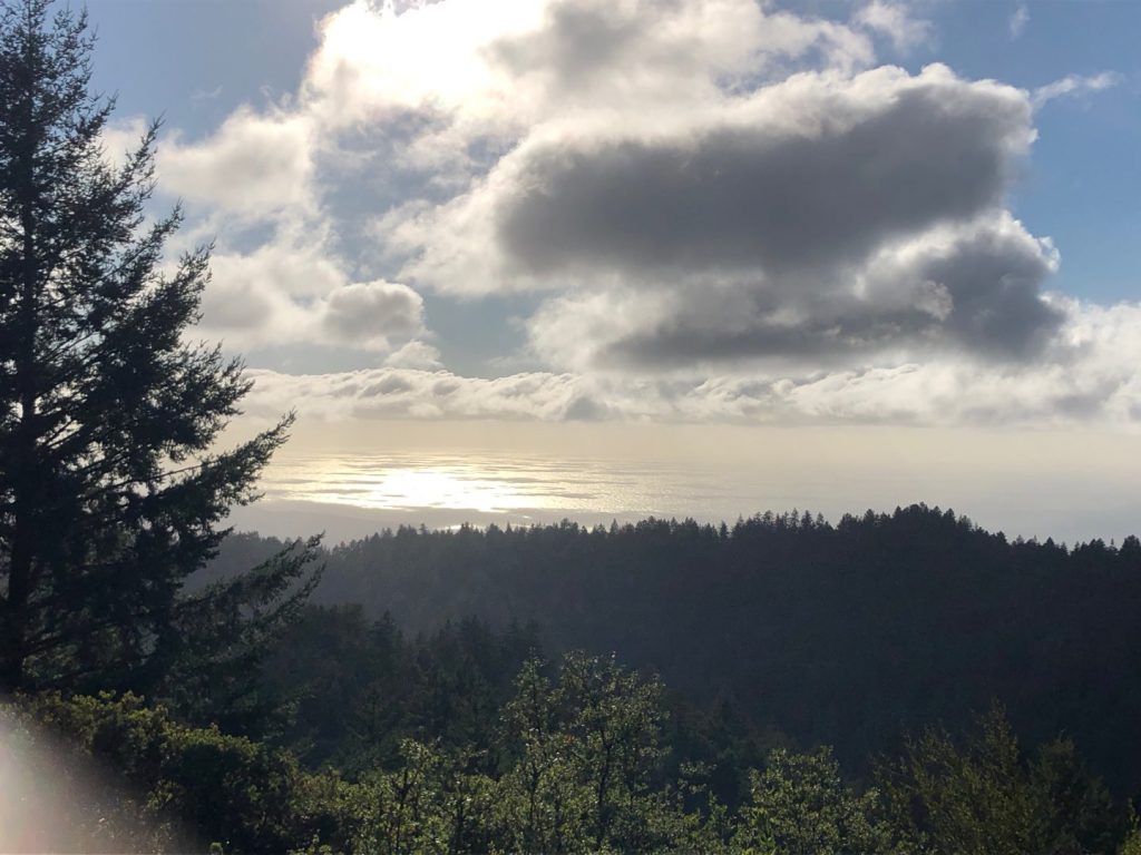
It is worth it to take a detour to the vista point for stunning views over the mountain and to the ocean. After, you will see the Resolution Memorial on the way: The name of the trail comes from the airplane “resolution” that crashed in the mountain in 1953, killing 19. Still, it is honored today by Australian nationals.
-
The Resolution Memorial -
View from the top
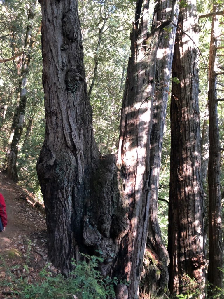
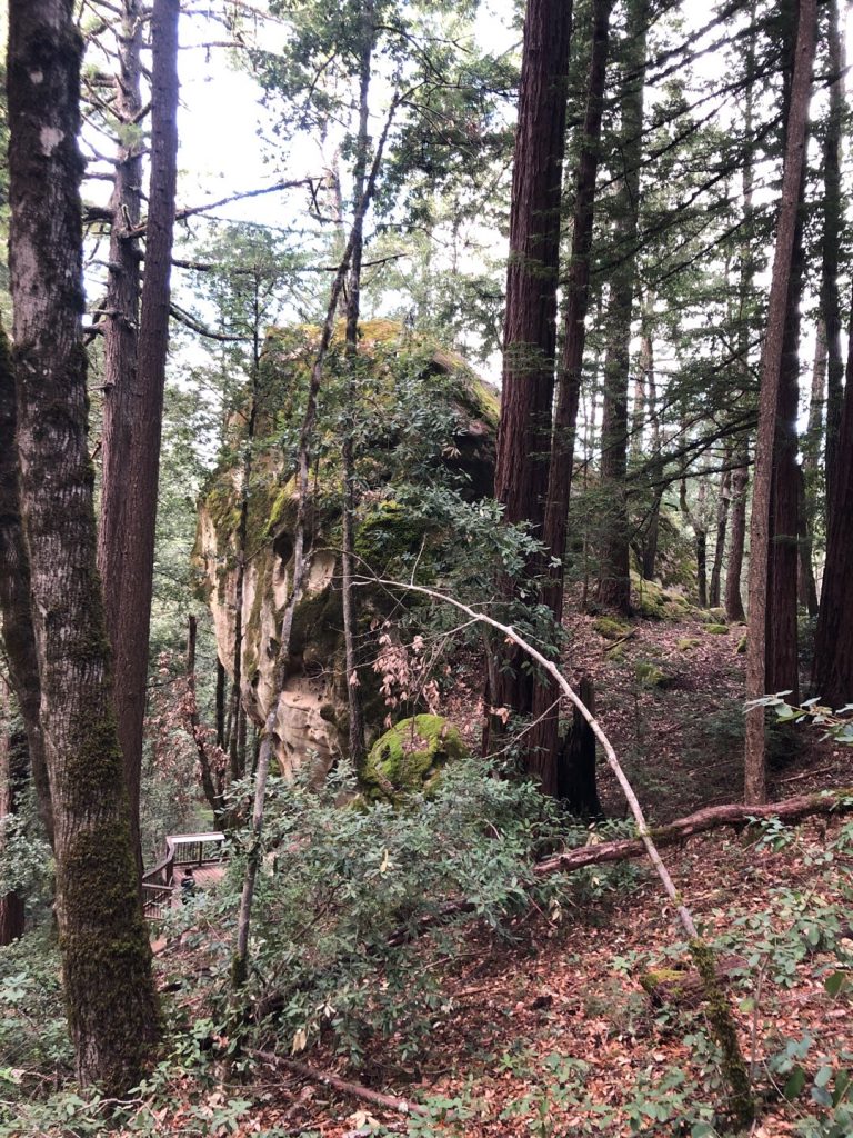
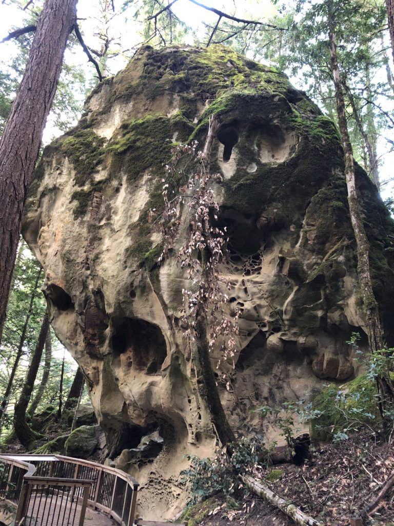
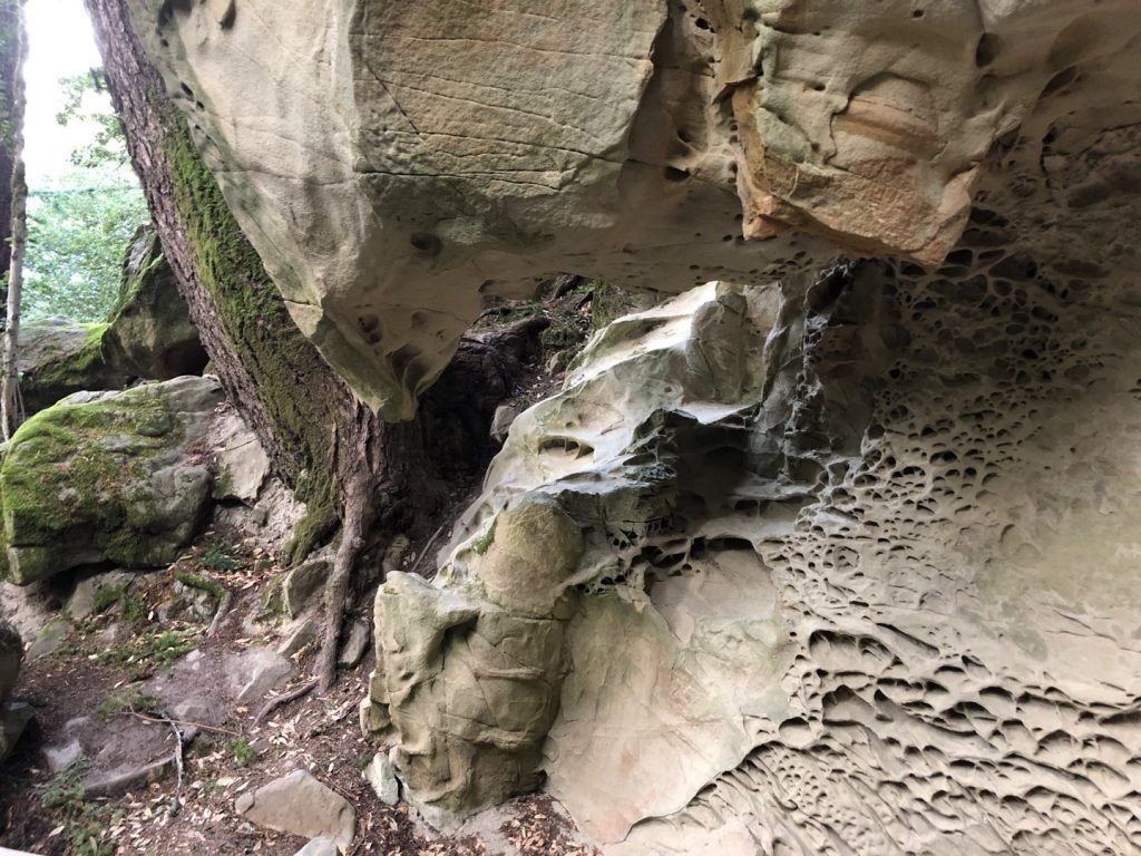
The Tafoni sandstone formation
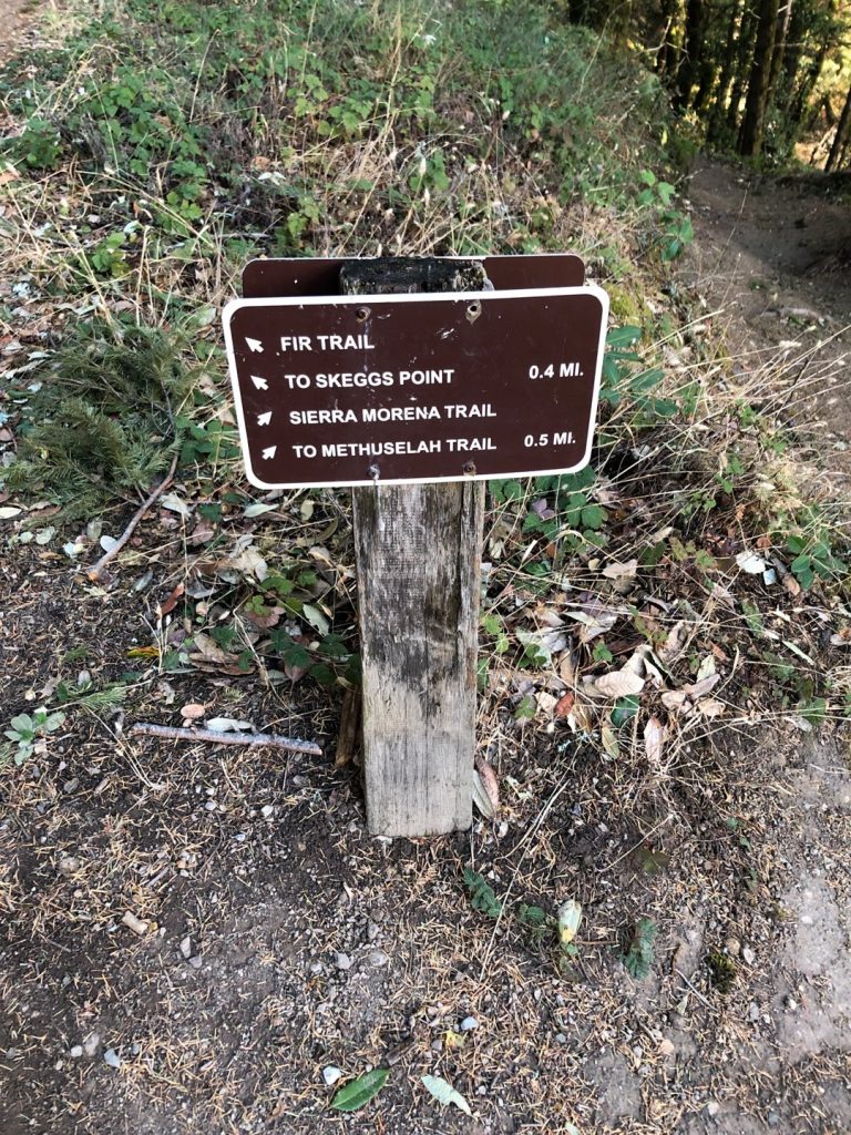
Then, you continue on Fir trail. At one point, take a left to the sandstone formation. This is another detour that is worth it. At this time, there is a huge sandstone rock that seems misplaced in the woods.
Back to the Skeggs point
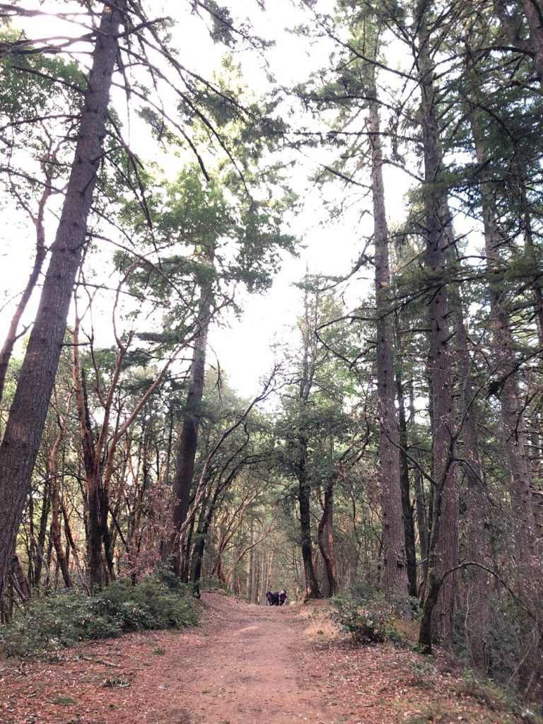
El Corte de Madera Creek trail continues effortlessly on the ridge through majestic alleys of pine and oak trees. Soon, you are back to where you starter. Surely, that’s all the beauty of a loop trail.
-
Only 0.4 miles to Skeggs point -
More trees -
On the ridge -
Alleys of pine trees