Plan your trails with the duoveo adventure creation tool
Planning an outdoor activity can sometimes be a hassle . You have to check out he map, set up an itinerary to follow, evaluate the length and difficulty . And even with a map you may still face issues.
You can use map printouts, a book, or try to follow the direction you picked up from friends, but there is a better way. At duoveo we provide you with a web tool to create your map and set directions that you will follow directly with your duoveo app when in the field.
Our duoveo adventure creation tool
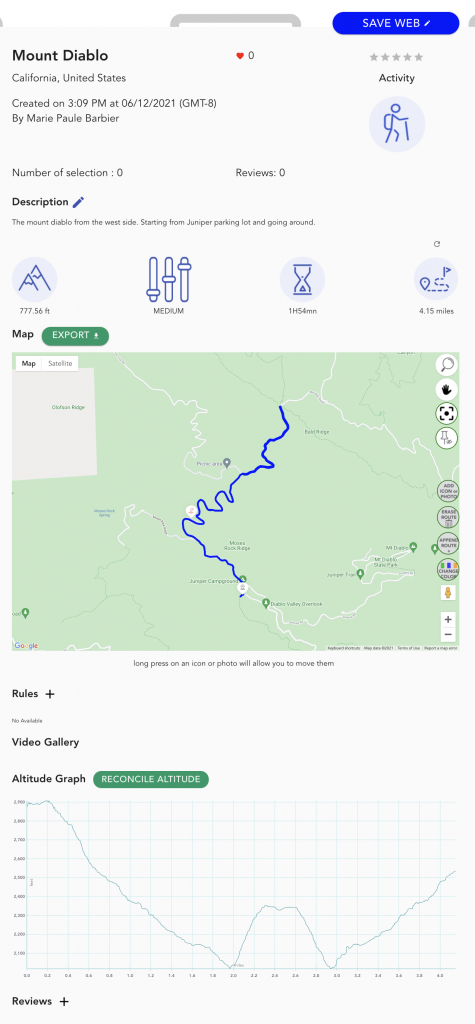
The most important is to enjoy the adventure planned. Our solution will provide the following data.
– a map (GPS) on Iphone or Android
– a starting point
– an estimated duration for the adventure
– the elevation curve
– invitation sent to all the participants
– and any other information you think important for this adventure
Every piece of data will be visible via the duoveo application.
There are 4 main steps to create an adventure:
– set the parameters like title, location, type, speed, ….
Select the Icon adventure as shown on the picture below.
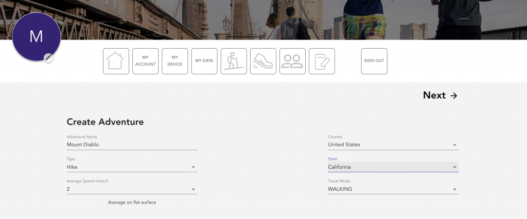
Step 2 : Set up the parameters
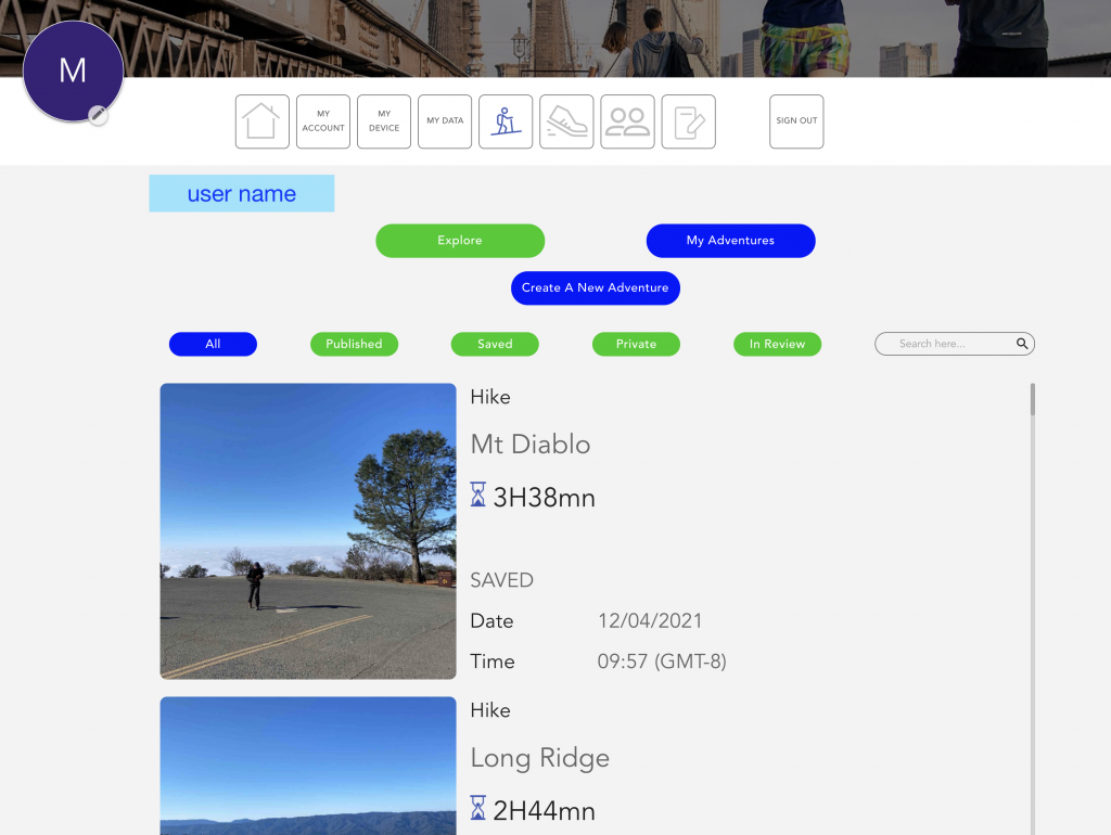
Adventure main screen
Press on the button “Create a New Adventure”
First screen to fill-up
– name of the adventure
– type of adventure
– average speed : fixed value
– country
– state
– Travel mode
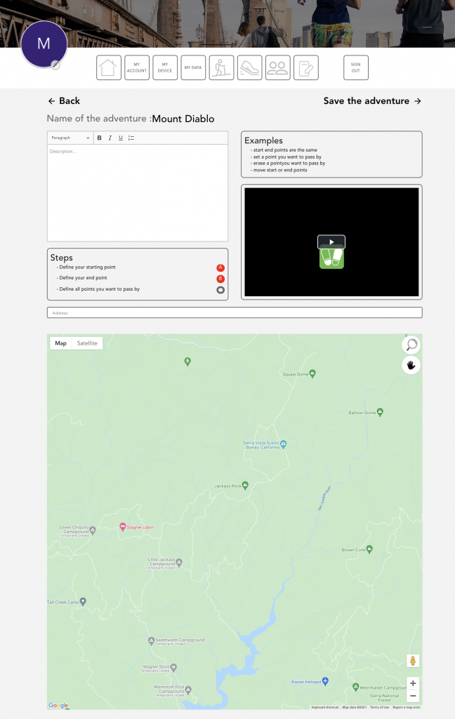
Step 3 : Create the adventure
Multiple windows will appear
Blank window top left : this area is used to provide a description of the adventure. You will have to put some comments, before you save it.
A video window : This is a teaching video, which will show you how to create your adventure from the beginning to the end.
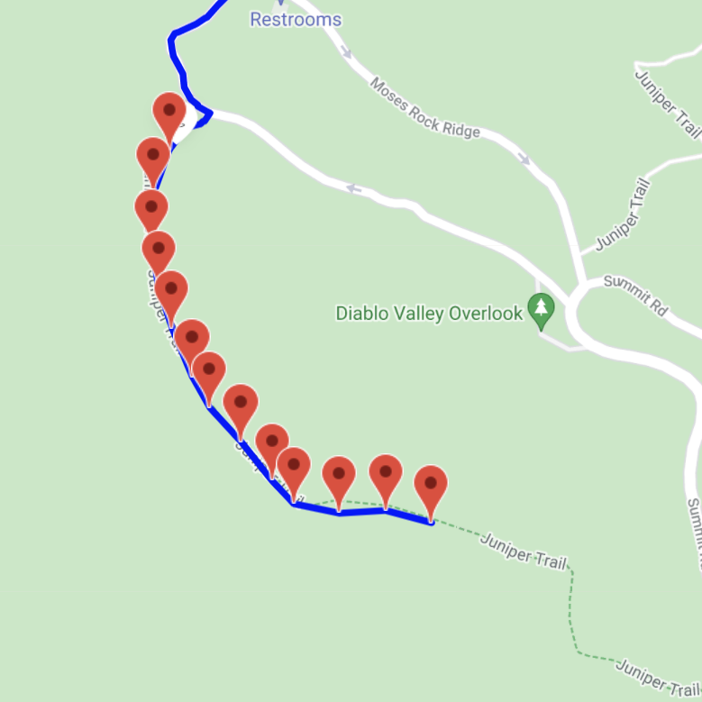
The steps window : it describes the different informations that will indicate the starting and end points, as well as all the points you want to pass by.
Address window : to quickly go to the area you are interested in, you can enter the location where the adventure is supposed to be.
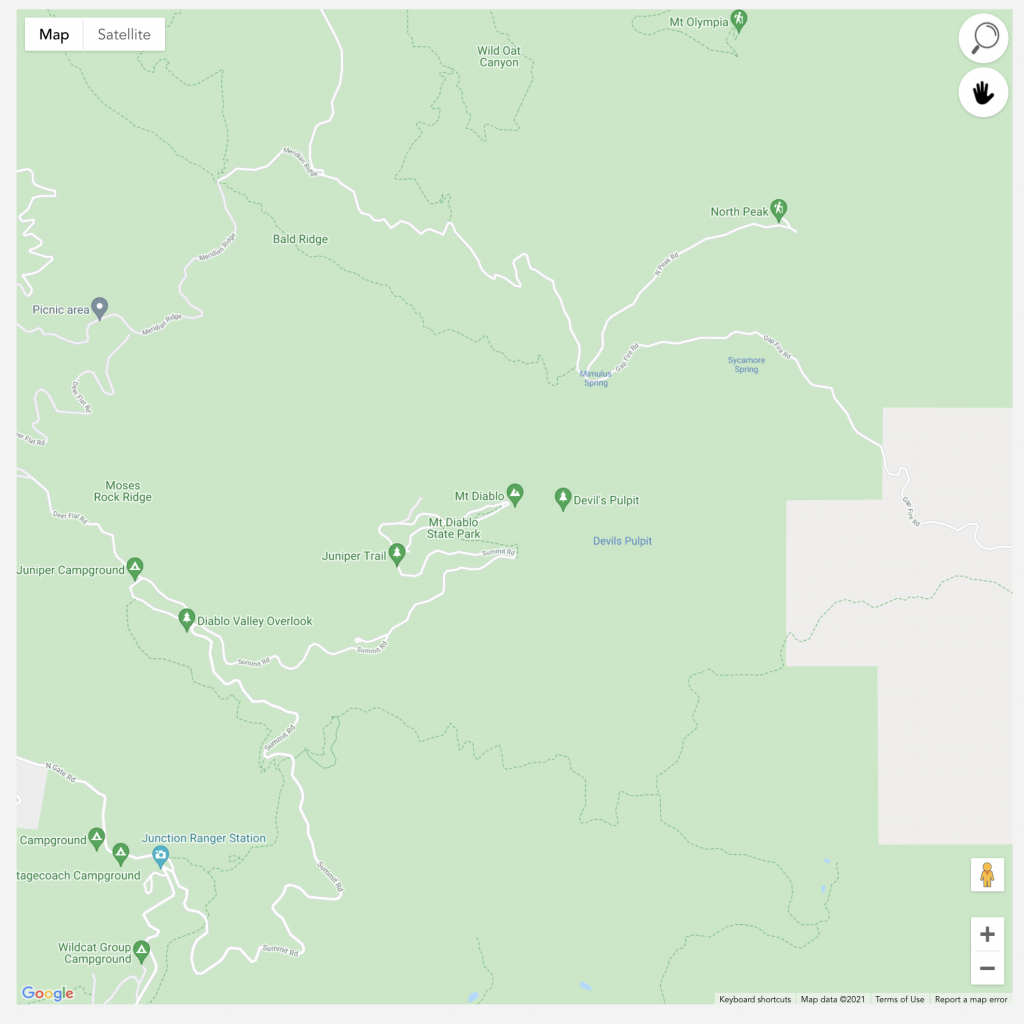
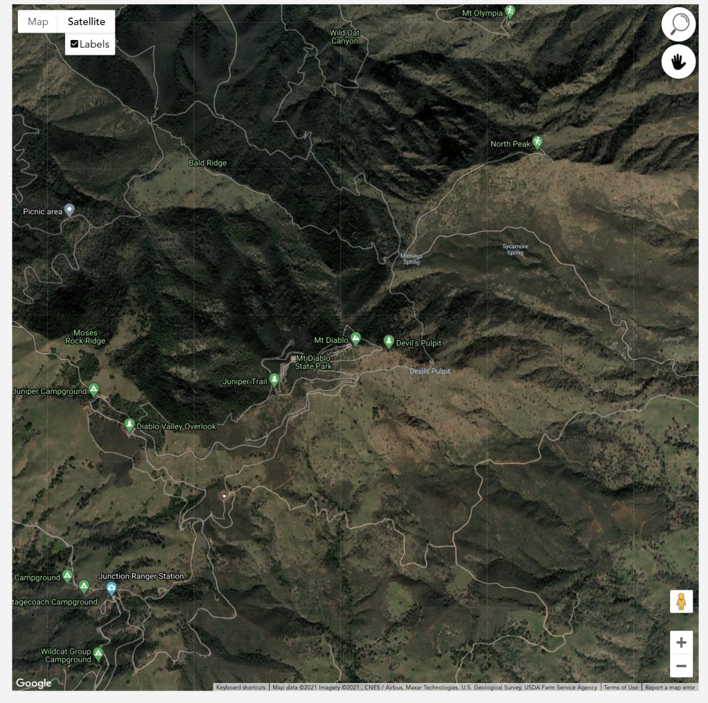
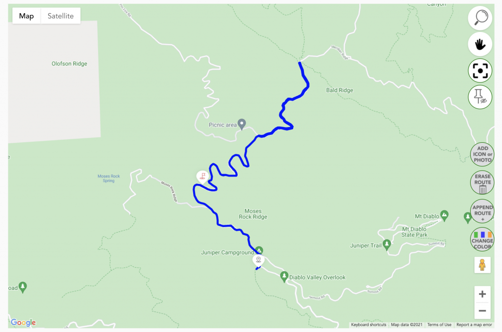
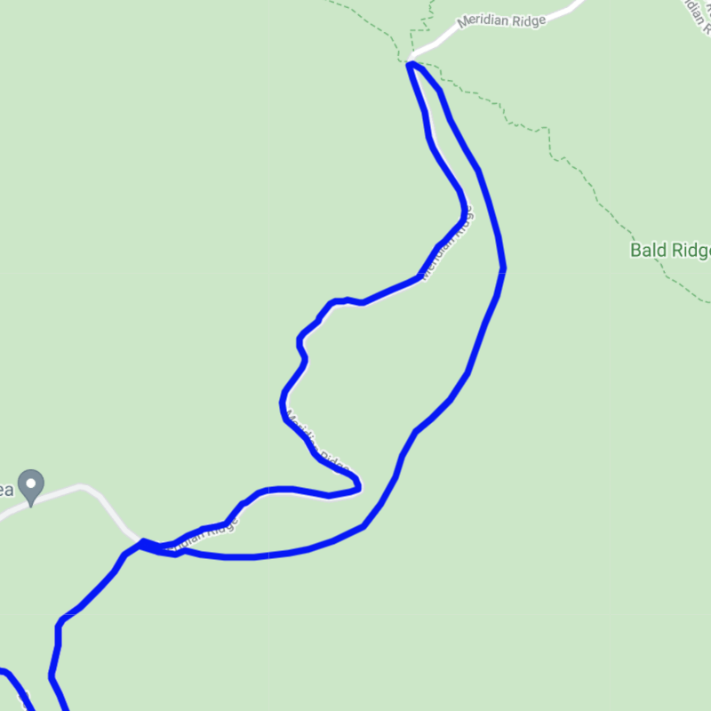
MAP window : this is the area where you are going to built the track of your adventure.
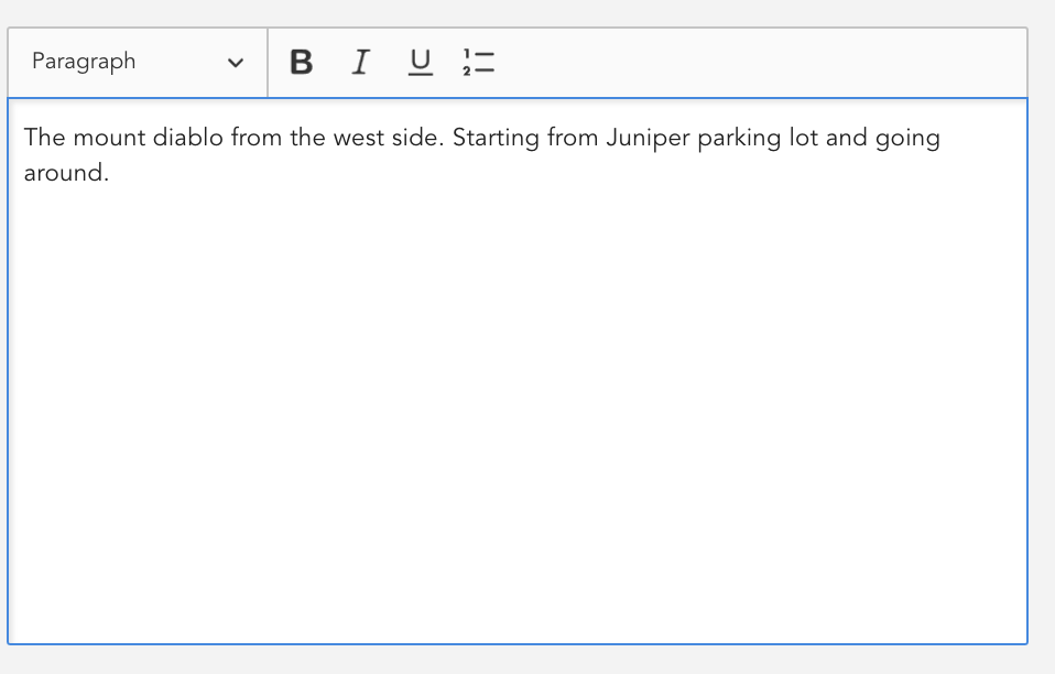
Enter a quick description
Enter a quick description, you can do it whenever you want
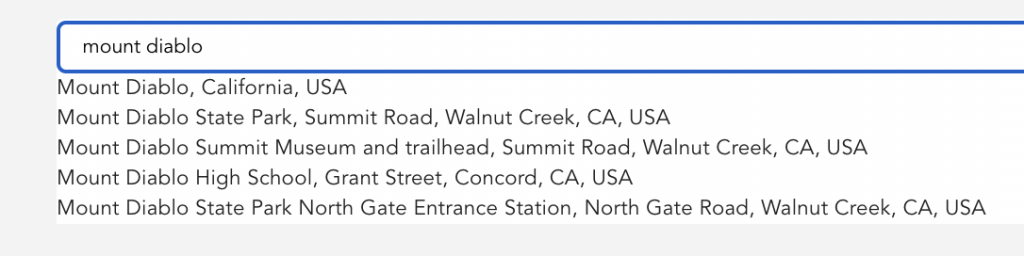
Input the address to find the location on tha map.
Start to write the address, different options will show up.
The formats of the different maps and functionalities.
Now you are ready to go
– you can zoom in and out
– move the map
– view or add the labels
– change type of map
Start the adventure creation
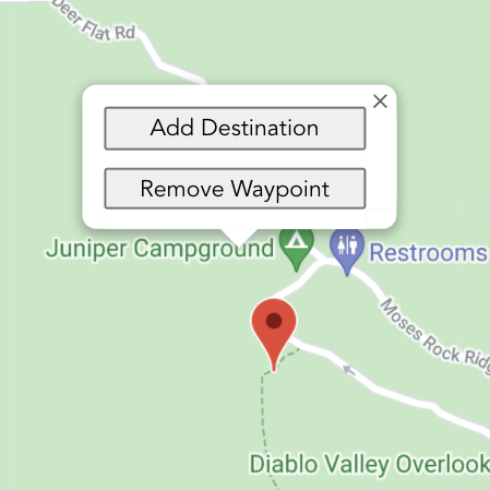
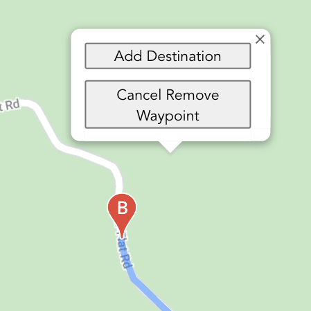
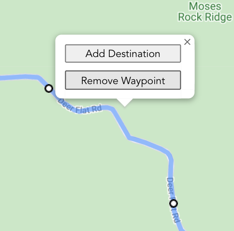
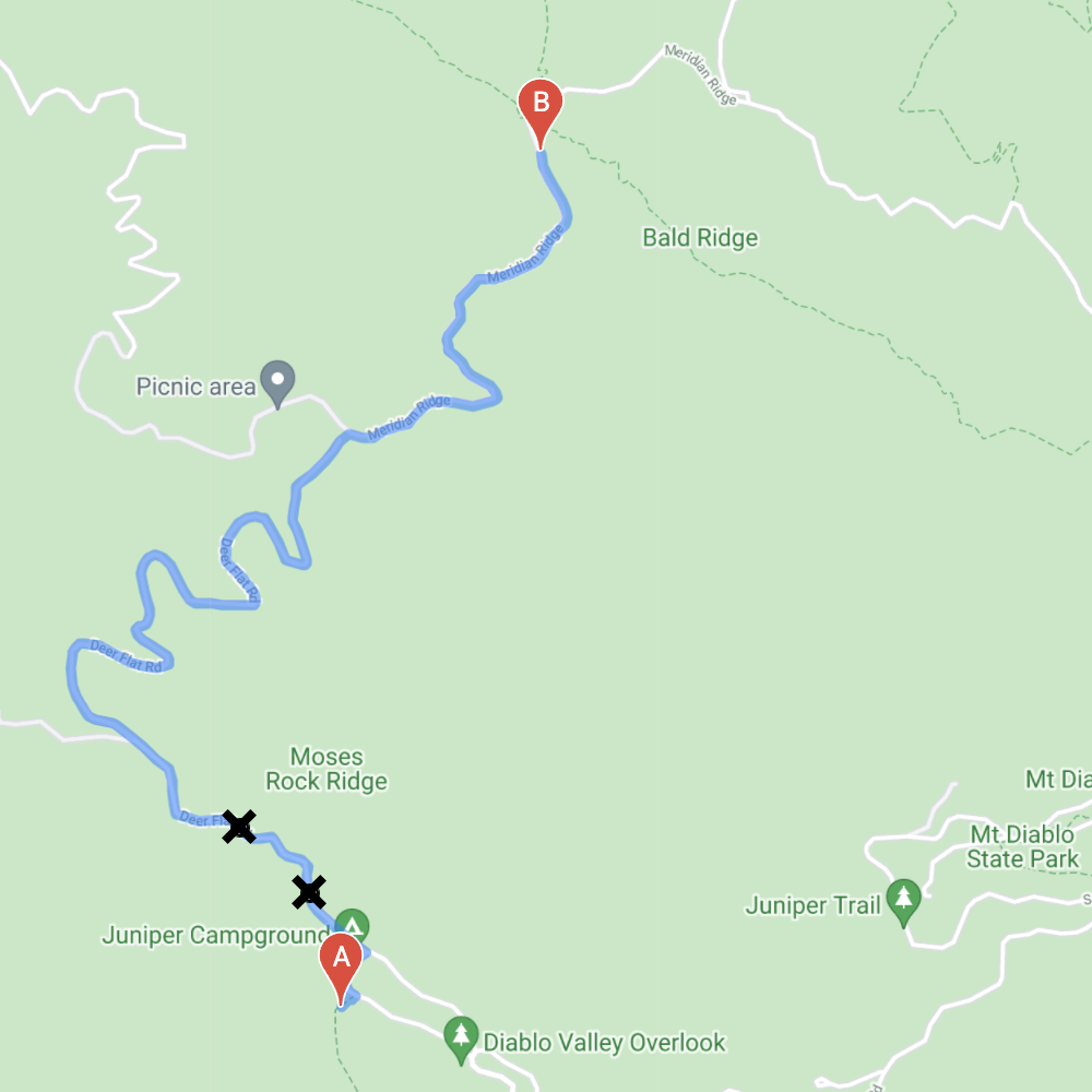
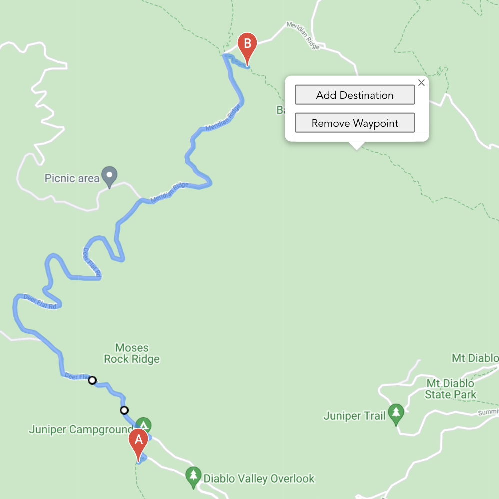
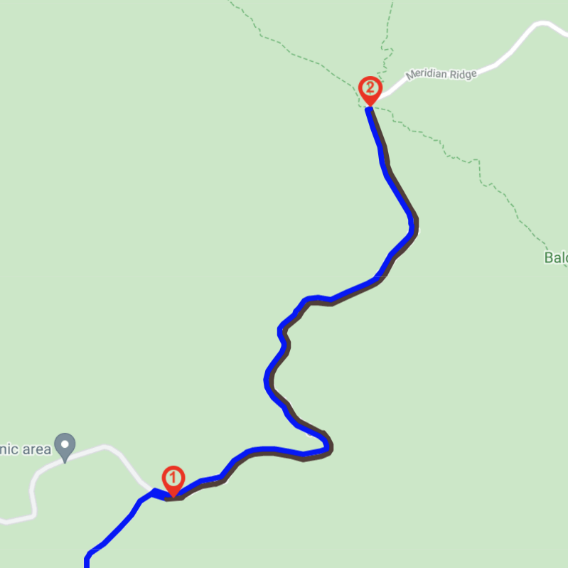
With a right click, the pop up menu appears, select add destination and set your starting point.
Again with the right click, make the pop up menu visible and select the next waypoint of your adventure.
The waypoint will be placed on an available track which is the closest of the waypoint you selected.
The track will be traced automatically.
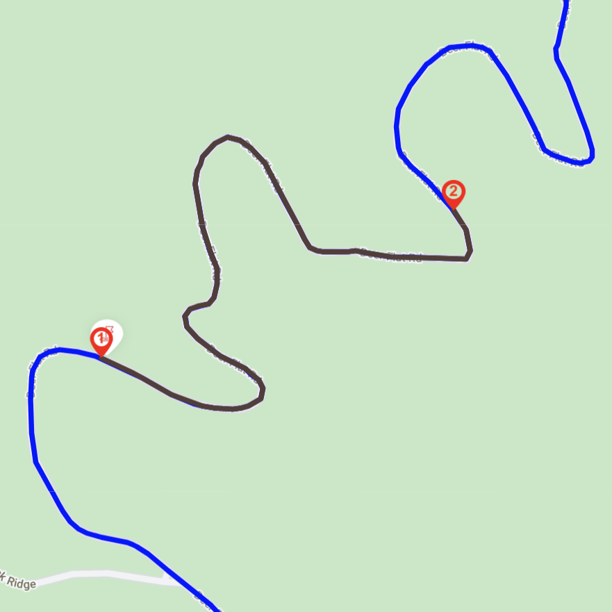
2 options
– You set on point after the other one
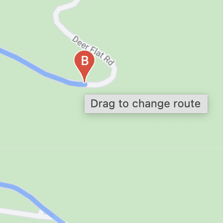
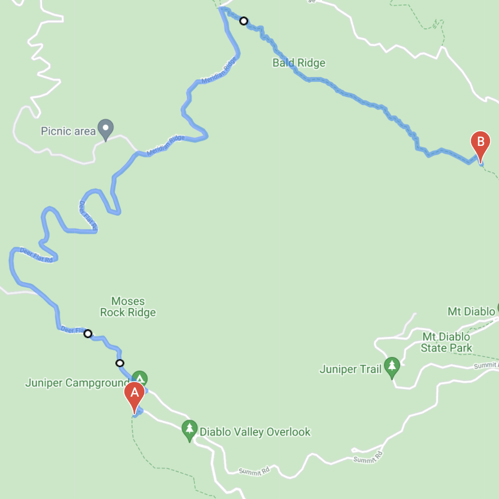
– if you select Point A or point B, you can move them along the track.
Select A or B and move them along the track.
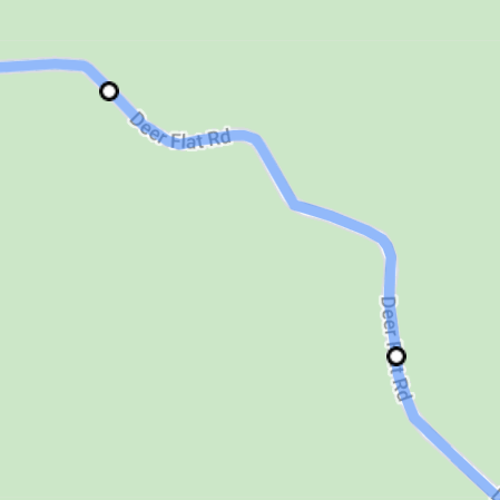
White round dot with black edge indicates the point you want to pass by.
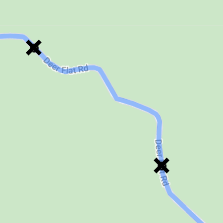
You can remove waypoint by opening the pop up menu and select Remove Waypoint
The cross will indicate the waypoint you can erase. Select the point, it will disappear.
If you want to return by the same way you come, select a way point before the intersection
Due to the limitation of the current google application, some functionalities are not optimum or available . After the map is created, you will be able to re-adjust but it will be a manual process through duoveo application.
– erase a portion of the route
– add a new route
– replace portion of the route
– change start or end point.
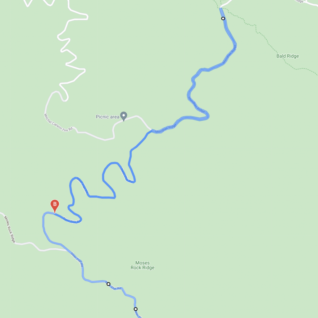
Move either points A or B to speed up the track creation.
You move the point B along the track and at a certain point the track changes.
At this point the system always chooses the shorter route. You will have to come back.
As you get to a location where the track is what you expected, you will set a new waypoint.
And you continue to move your destination point to the end or to the next change of the track.
Save the adventure
Now that your track is completed, we can go to the next step.
click on Save Adventure.
– length of the track will be calculated
– estimated time to accomplish it
– elevation graph.
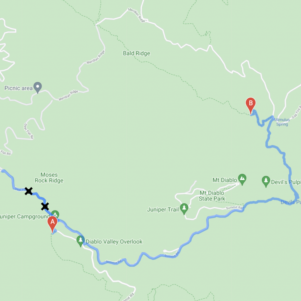
See the results
Here is the result
at this point you can still do a lot of adjustments.
– add photos
you can add one or multiple photos, the photos will be placed based on the GPS location. if no GPS data, your photo will be placed at the point you will define.
– add icons
– erase track
– add or change track
– change the type of track
– and more coming forward
Change the starting point and the end point.
Append route
Erase a portion of the track, from the end or from the beginning
Erase route
Change a portion of the route and replace by another one.
Erase the route
From point number 1, draw the new track to point B.
track draws manually
When all the adjustments are done, don’t forget to save them. At this stage you are ready to go.
The adventure is available in your duoveo mobile phone application .
You can start it or invite your friends to join you.
You can follow your adventure even when no network is available.
Your friends will know where to meet exactly Point (A) and accept or refuse invitation.
No surprise for your friends, they will have all the details beforehand .
duoveo APP
duoveo provides a nonintrusive mobile experience supported by a caring community, helping you find your path to well-being at your own pace.