Stewart Falls lured us into Northern Utah’s canyons—a haven for hiking. Up Provo Canyon, near Sundance Resort, we discovered the enchanting two-tiered waterfall, cascading 200 feet from Mount Timpanogos. Indeed, the trail, winding through scenic landscapes, promises a captivating 5.6-kilometer round-trip adventure. Join us as we explore the beauty of the Stewart Falls Hike in Aspen Grove, Utah.
Table of Contents
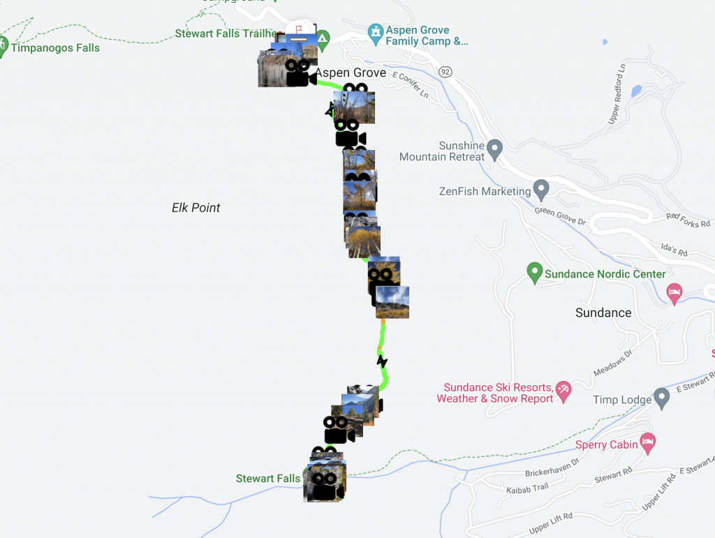
Stewart Falls Trailhead Map
You can find Stewart Falls Trailhead map and adventure on the FREE duoveo app with all the essential details here. Furthermore, the app provides valuable information about facilities, picnic areas, restrooms, cascades, and parking spots along the trail with its Icons.
Hike ID: 3973
Stewart Falls Hike Details
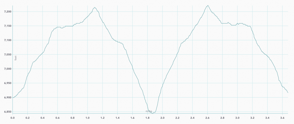
Route type: Out-and-back
Elevation gain: 654 ft
Trail level: Easy/Moderate
Length: 3.5 miles
Trail starting point: 40.4043, -111.605.
Rules: Dogs allowed
Contact: Uinta National Forest, Sundance Ski Area
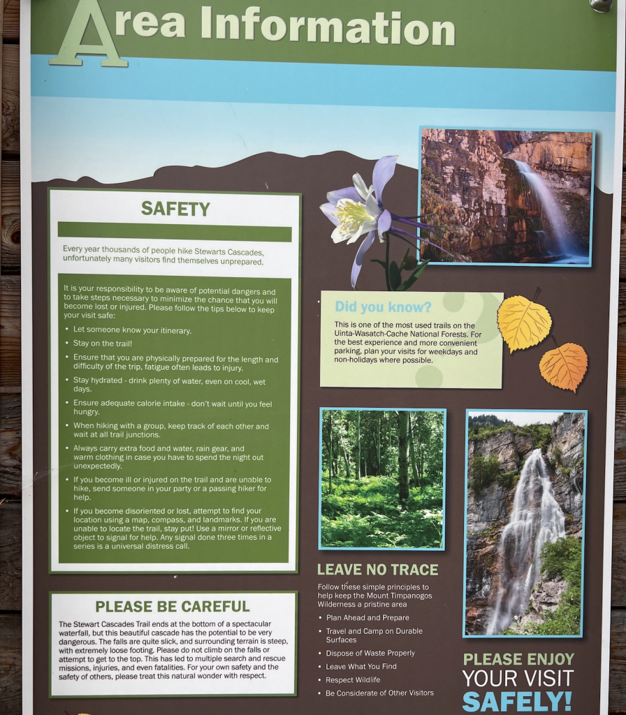
Parking Fee and Pass Information: Parking at Aspen Grove requires an entry fee of $6 for a three-day pass which is paid at a toll booth on the Alpine Scenic Loop. This entrance fee helps maintain the trail and its facilities. Also, if you are tight on cash, you can park a little ways down the road just below BYU’s Aspen Grove Lodge on the side of the road, then walk up the road to the trailhead.
Essential Items to bring:
Sunscreen, only half of the trail is shaded.
Water and snacks, with a picnic lunch being a great option.
Camera to capture the stunning scenery.
Binoculars for a closer look at wildlife and scenic vistas.
Facilities: During peak times, especially on Saturdays, it is advisable to arrive early, as the parking lot tends to fill up quickly by 9 or 10 in the morning. Moreover, note that there is no additional parking nearby, making an early arrival crucial for securing a spot.
Safety Precautions: The trail traverses terrain susceptible to avalanches, especially during certain seasons. Therefore, hikers are strongly encouraged to stay informed about daily avalanche forecasts, which can be accessed here.
Seasonal Recommendations: The best period to undertake this adventure is between May and October, ensuring favorable weather conditions and vibrant foliage.
Road Closure: From July 16th to November 14th, this road is inaccessible, affecting access to the trail. For the latest information on closures and trail conditions, here.
The Stewart Falls trailhead marks its beginning at the west end of the Aspen Grove parking area, conveniently situated near the restroom. However, parking spaces at Aspen Grove fill up rapidly, and while there is overflow parking along the Alpine Loop Road, caution is advised against illegal parking to avoid the risk of an expensive tow.
Whether you intend to hike or not, an entrance fee is charged for each vehicle traversing the Aspen Scenic Loop. Find the fee station for the south entrance just after Sundance Resort and just before reaching the Aspen Grove trailhead. Within a hundred yards, the Stewart’s Cascades trail branches off to the left.
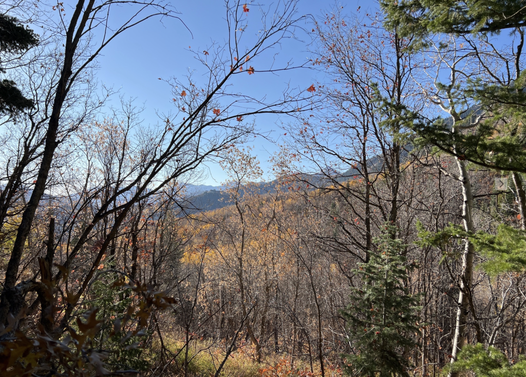
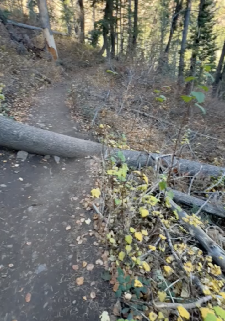
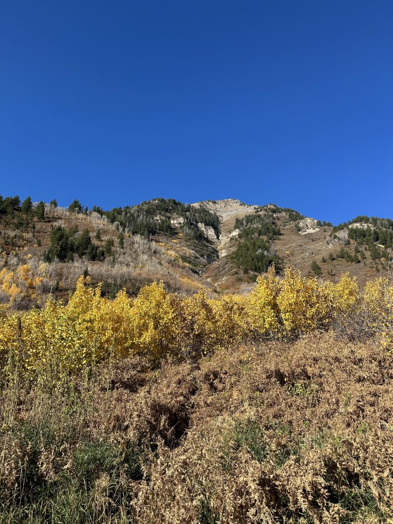
As the trail commences, it swiftly ascends the side of the mountain, gaining elevation above the campground, offering vistas of the nearby mountain peaks. After, very quickly though, you’ll start a moderate ascent. On that incline, you might encounter fallen trees to navigate. However, they are relatively straightforward to climb over.
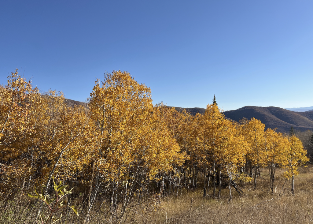
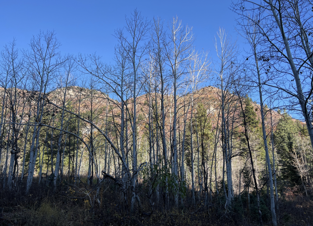
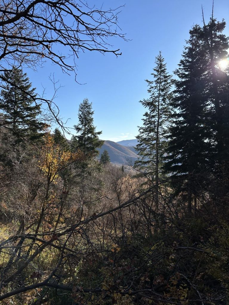
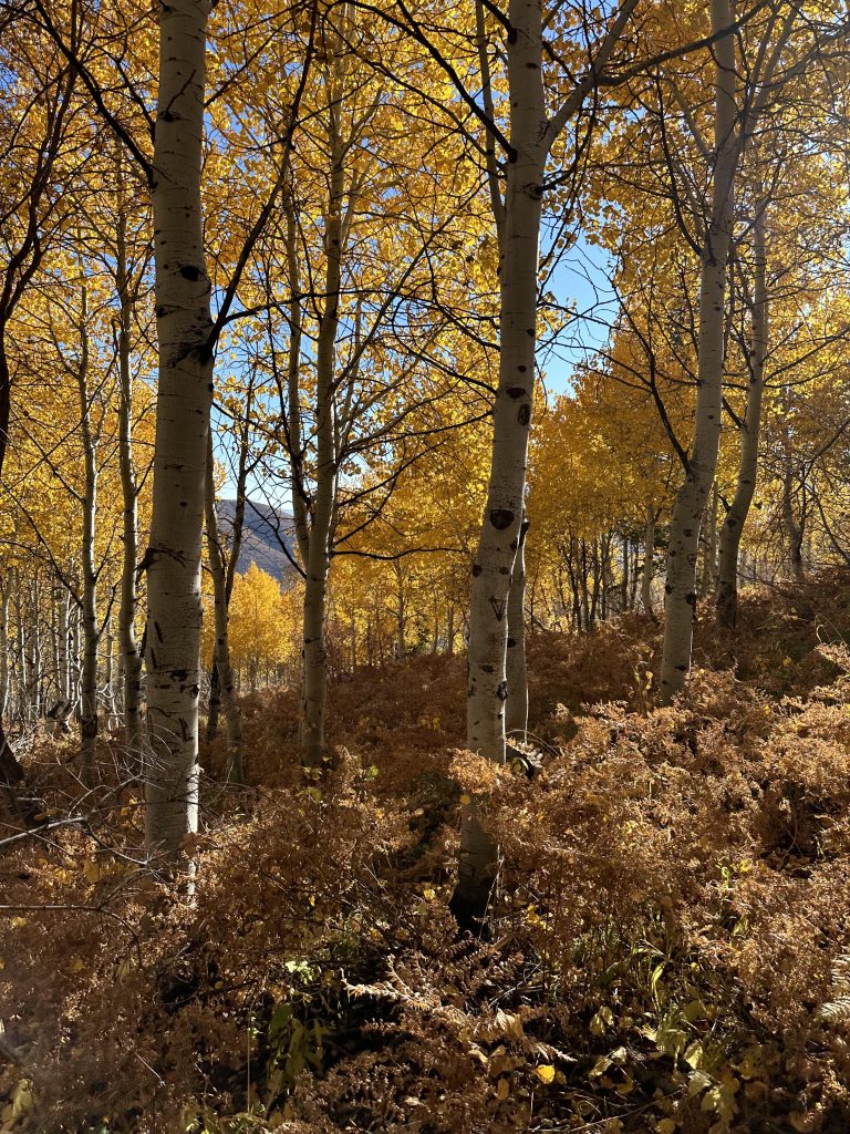
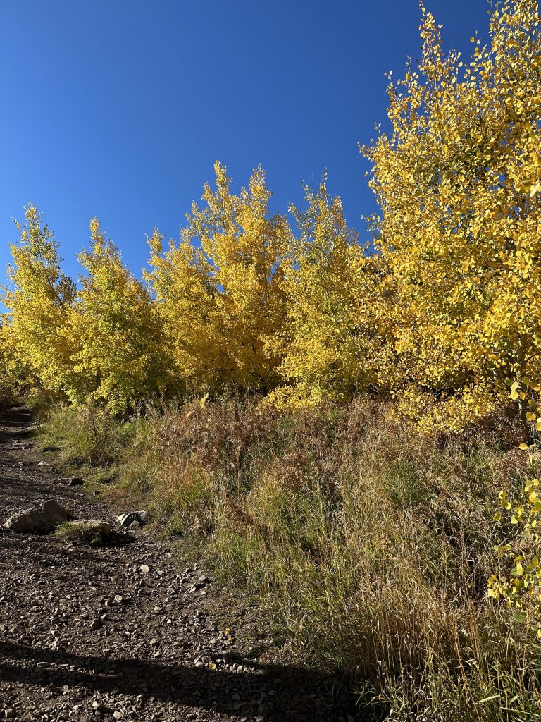
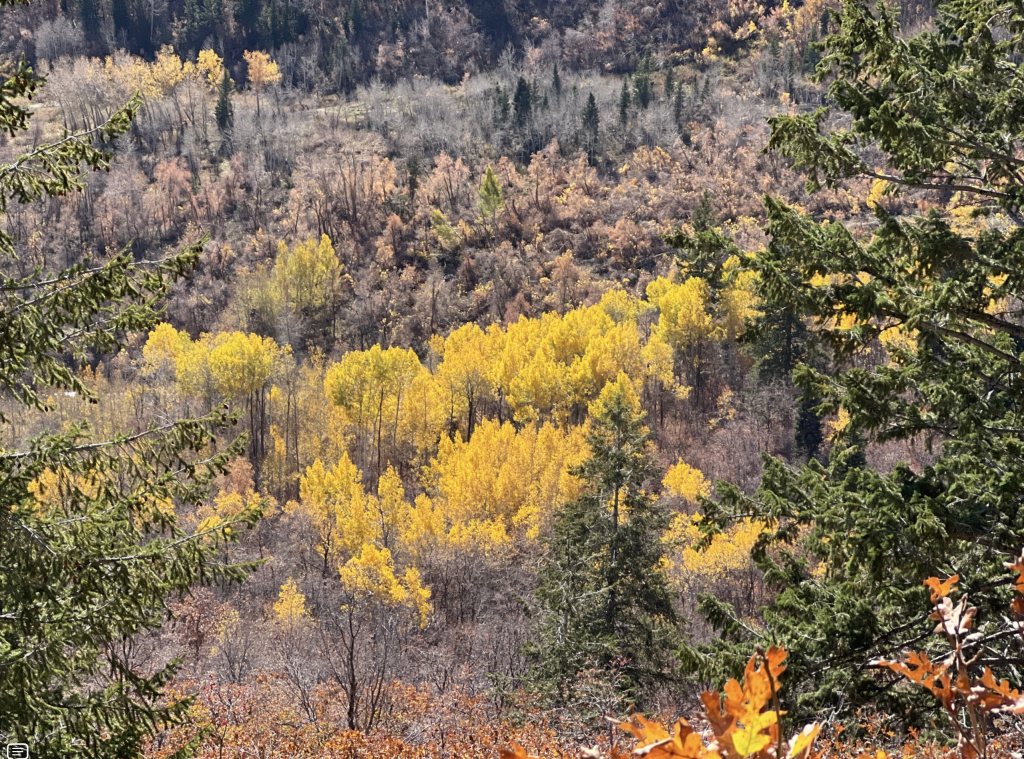
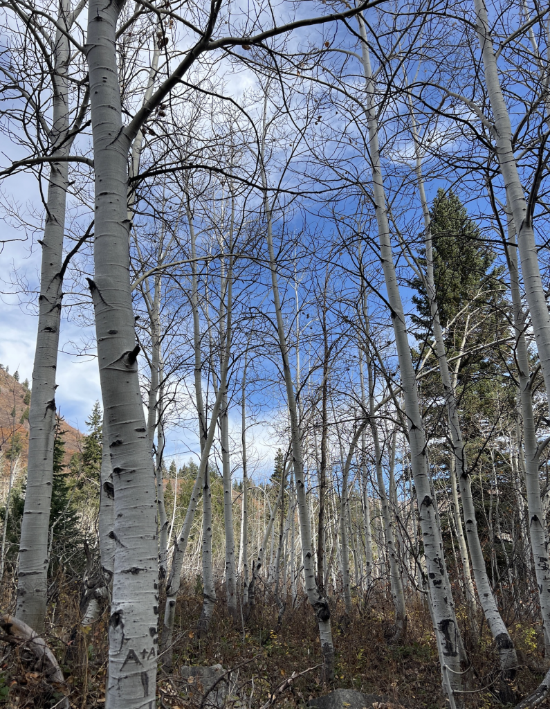
Golden Aspen Groves
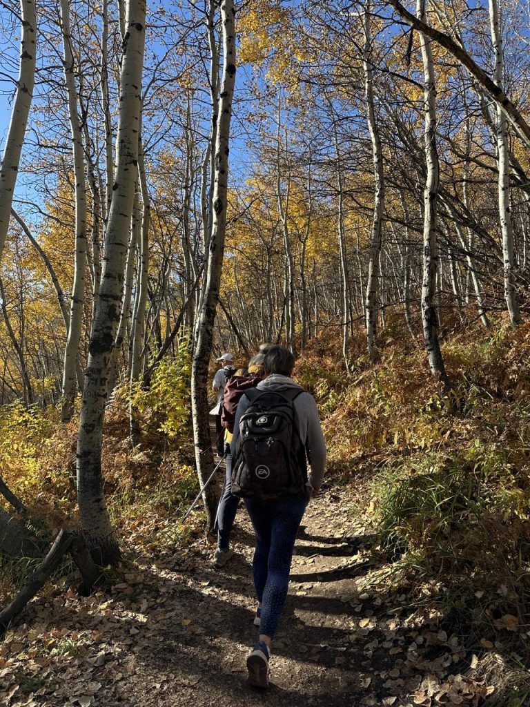
The sheer joy of being surrounded by nature seems to alleviate the challenges of any hike. Then, you’ll traverse aspen groves, wander across forest floors carpeted in ferns, and stroll past a couple of picturesque meadows.
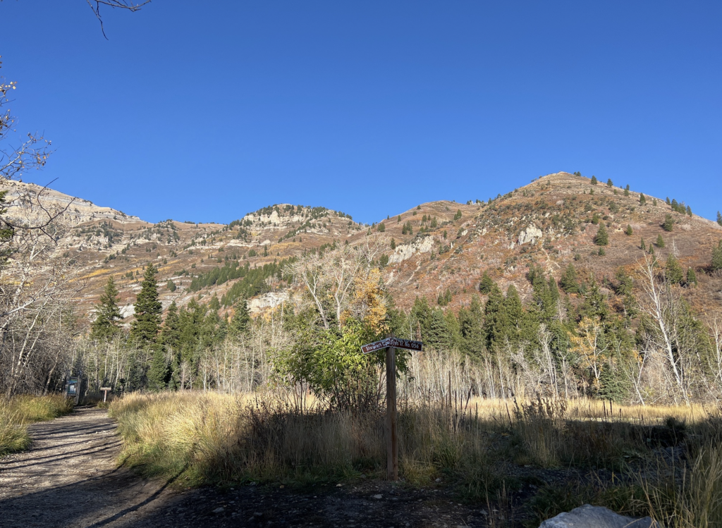
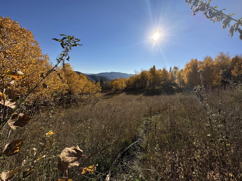
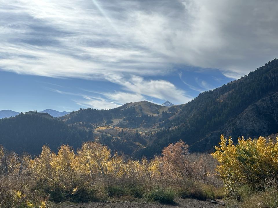
Highest point of Stewarts Falls Trailhead
Approximately a mile and a half into the hike, Stewart Falls trailhead emerges from the trees onto a meadowed ridge, offering one of the highest points on the trail. Here, the grassy ski slopes of Robert Redford’s Sundance Resort unfold. Robert Redford acquired the land in 1968, and we assume the trail and waterfall are named after the original owner, S. Paul Stewart.
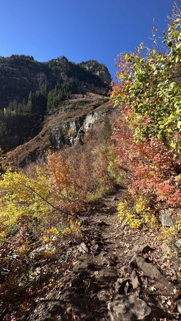
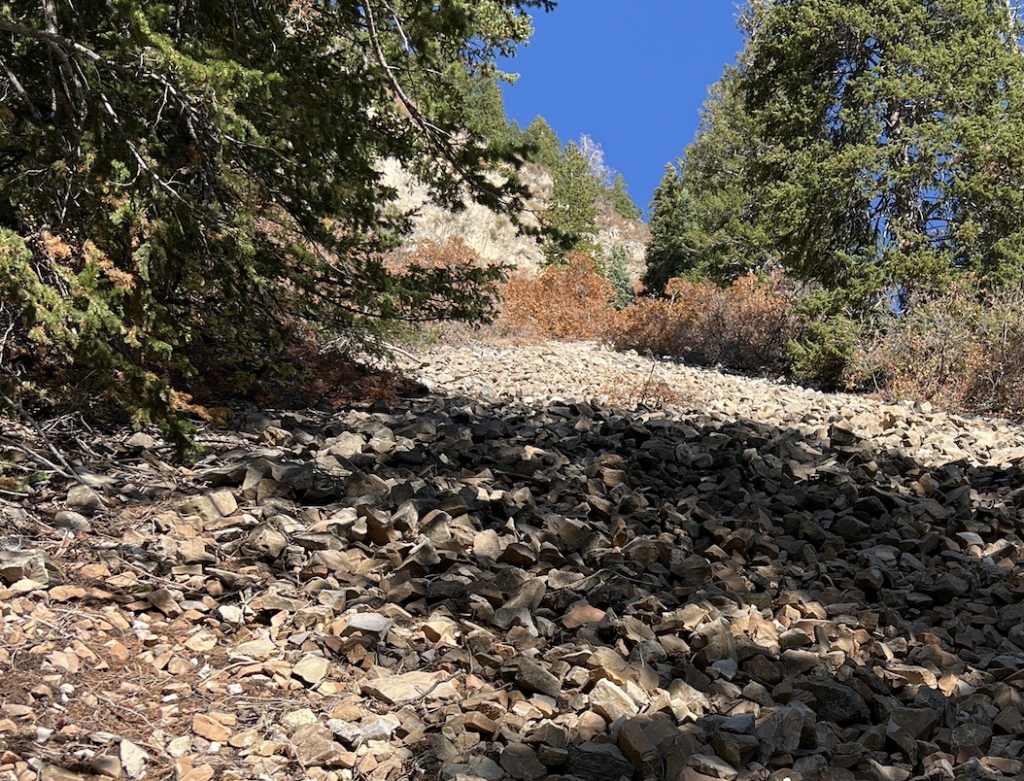
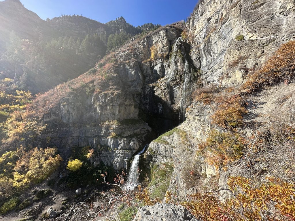
Along this segment, the terrain can become quite rocky in certain spots. Surely, this is the final stretch of the trail, as it curves around the mountain, descends toward the falls.
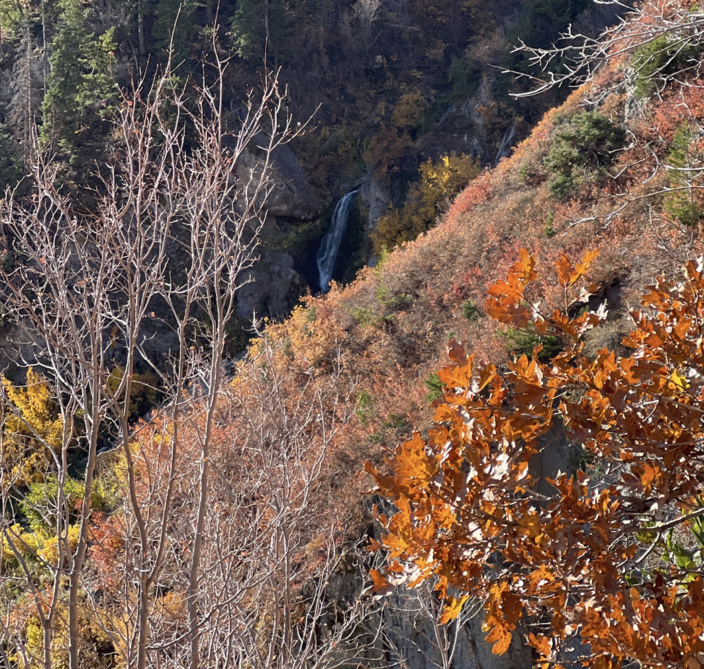
As you progress in your descent, the majestic waterfall gradually unveils itself. And, it draws nearer and nearer, creating a mesmerizing interplay between focusing on your footing and marveling at the initial glimpses of the rushing water.
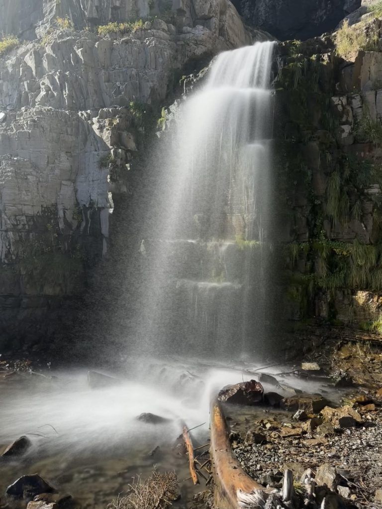
Stewart Falls
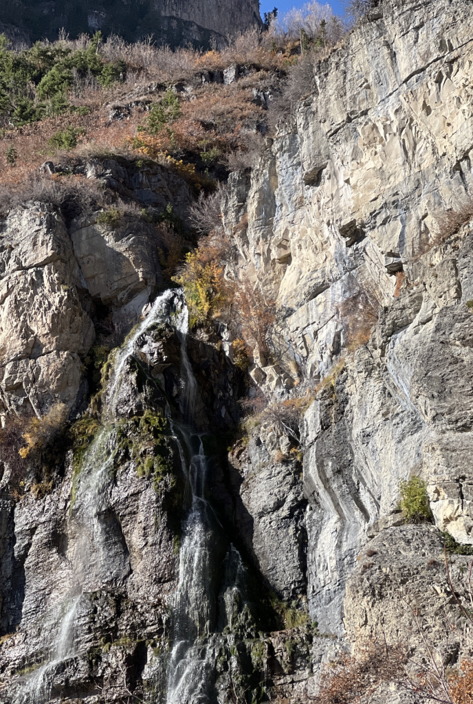
And then, behold—Stewart Falls stands before you in all its magnificent splendor! This specific Stewart Falls hike leads you to a rocky cliff ledge that provides an overlooking vantage point of the falls. Here, amidst fellow hikers, you’re likely to capture your own rendition of this iconic picture.
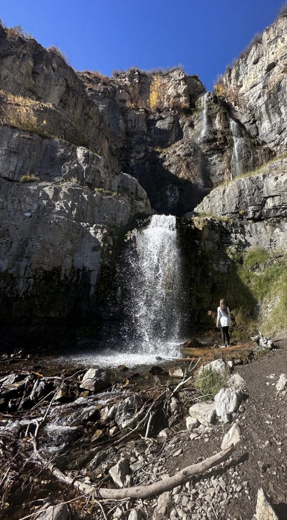
Then, near the falls, hikers can choose to descend to the base of the falls by the creek or attempt a higher climb to the base of the first cascade.
The creek area below the falls is slightly lower than the trailhead. Our photo, taken on an early Sunday morning, depicts a serene scene, but as the day progresses, expect more hikers both above and below the lower cascade.
Surely, the upper trail is best suited for experienced and nimble hikers. The water flow down the falls varies with the disappearing snow fields of Mt. Timpanogos.
The Stewart Falls trailhead witnesses’ high popularity on weekends and holidays. While descending, we encountered numerous hiker groups, often families with small children. So, always keep your pet on a leash and under control. The Wasatch Range boasts accessible waterfalls, with Timpanogos Falls only a 2-mile round trip from the Aspen Grove trailhead. Nearby in Provo Canyon, the picturesque Bridal Veil Falls awaits exploration. To witness these natural wonders firsthand, just “Take a hike.”
Additional tips
In summary, completing the entire Stewart Falls trailhead hike, savoring every panoramic view along the way, took us a total of two hours. We crossed paths with numerous families enjoying the trail with their little ones. Although deemed family-friendly, it does pose moderate difficulty in certain sections. Therefore, if you’re trekking with young kids, be prepared for a longer adventure—more than the two-hour estimate.
As previously noted, the latter half of the trail can be quite rocky, so investing in sturdy hiking shoes is advisable.
Approximately half of the trail is shaded, providing a respite from the sun’s rays. However, sunscreen and ample water are still essential companions for this outdoor excursion.
It’s worth noting that another popular trail initiates from the parking area—the trail to the summit of Mount Timpanogos. So, be mindful of choosing the correct trail, as the Mount Timpanogos hike spans 14 miles round trip with a 5000-foot gain.
duoveo APP
duoveo provides a nonintrusive mobile experience supported by a caring community, helping you find your path to well-being at your own pace.