The East Bay Regional Park District began acquiring land for Black Diamond Mines Regional Preserve in the early 1970s. Indeed, today most of the mining district is within the Preserve’s nearly 8,533 acres. Moreover, the area is an ideal location for hiking, picnicking and nature study. Furthermore, naturalists conduct a variety of programs relating to the Preserve’s natural and historic resources.
Specifically, the Greathouse Visitor Center is located underground, in a chamber excavated in the mid-1920′. Additionally, you will be able to discover the work accomplished inside the mine during this period. Particularly, the center displays photographs, displays, and artifacts related to this period.
Adventure Map of Black Diamond Mines Regional Preserve
Elevation Map of Black Diamond Mines Regional Preserve
Details of the trail
Black Diamond Mines History
In 1859 William C. Israel discovered a coal deposit while clearing out spring on his land at Horse Haven Valley, six miles south of Antioch. Indeed, his initial attempt to mine the coal was not financially successful but soon other coal deposits were discovered nearby and mining operations grew rapidly. Then, the area became known as Mount Diablo Coalfield, the largest in California, producing more than 400 million short tons (357 million long tons) of coal during this time.
Rose Hill Cemetery :
Although, little remains of the coal mining communities, a historic cemetery serves as a monument to the lives of the former residents. Therefore, buried here are children who died in epidemics, women who died in childbirth, and men who died in mining disasters and of other things. While over 10 nationalities resided in the mining area, Rose Hill Cemetery was a Protestant burial ground, and many of the people buried here were Welsh.
Sandstone mine :
In the 1920s, a mine producing high-quality silica sandstone was started by owner Marvin Greathouse on a hillside above the Somersville townsite. Indeed, he sold the product to the Hazel-Atlas Glass Company which operated a plant in Oakland manufacturing glass containers. Then, Hazel-Atlas purchased the mine and operated it until about 1945. Moreover, another sandstone mine in the Nortonville area produced sand used by the Columbia Steel mill in Pittsburg, California for steel casting. Furthermore, the two companies recovered more than 1.8×10⁶ short tons (1.6×10⁶ long tons) of sand between the 1920s to the 1940s. Thus, the Hazel-Atlas mine is being restored and maintained by park staff and can be visited on guided tours that cover the area’s mining history and geology.
Vegetations
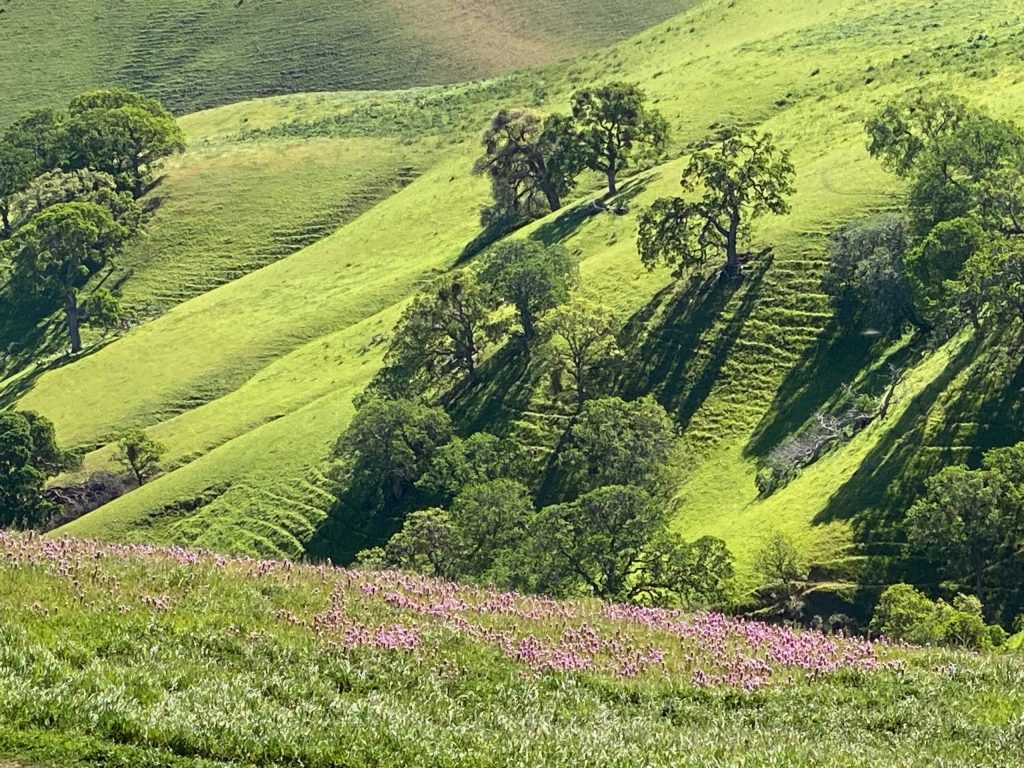
The Black Diamond Mines preserve’s 65 miles of trails traverse areas of grassland, foothill woodland, mixed evergreen forest, chaparral, stream vegetation and exotic plantings. Indeed, notable among the latter are several tree species introduced by the coal miners. Moreover, these include the black locust, pepper tree, almond, eucalyptus and tree of heaven. In fact, through this Black Diamond Mines hike, you will be able to discover a lot of different flowers. Therefore, the best time to enjoy the place, if you like to see them, will be during the first part of the year, after the first rain. Without doubt, it is a colorful experience.
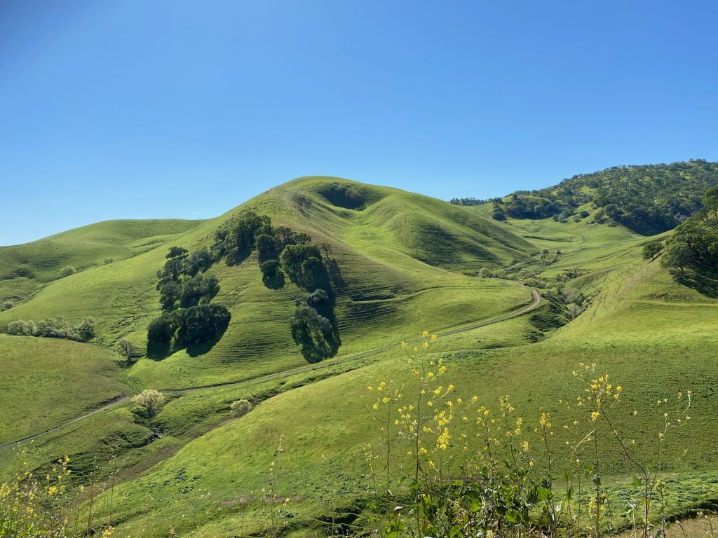
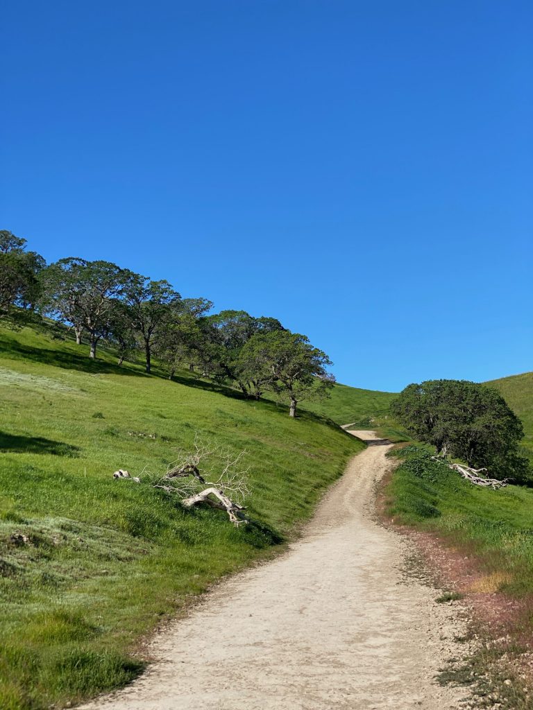
Black Diamond Mines landscape
The landscape is absolutely beautiful.
Heading to the flowers
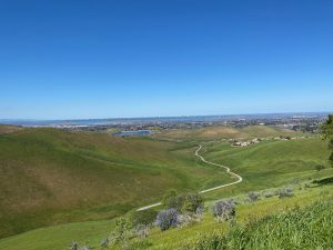
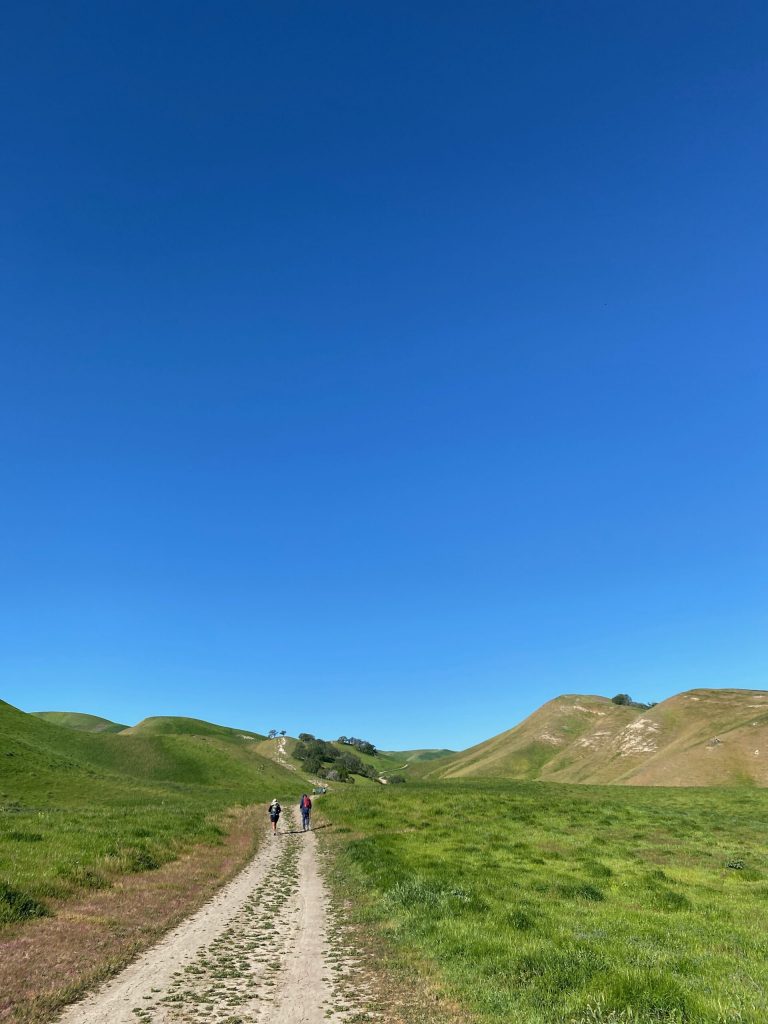
Starting from the parking lot, it will take thirty minutes of walk to arrive to the flowers location. At this point, the first part is quite flat, but quickly you will start to climb. However, the hike is not difficult and the trail is easy. Then, you have several where you can start. Afterward, we took the decision to use the south entrance. Also, at the north entrance, you can find some restrooms, table for picnic and it is near the mines.
Black Diamond Mines flowers
Here we are, let’s discover the multiple types of flowers of Black Diamond Mines Regional Park. Indeed, the funny part of it is that each type of flower seems to have found its spot in different areas of the park. Along the track, you will discover them.
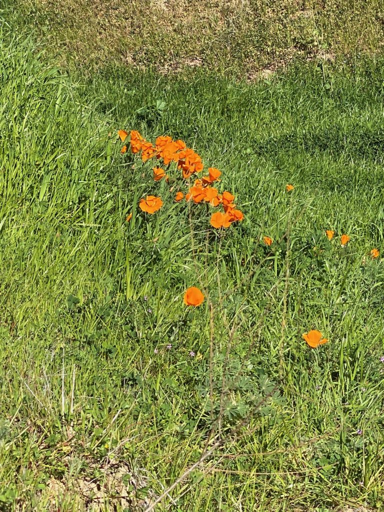
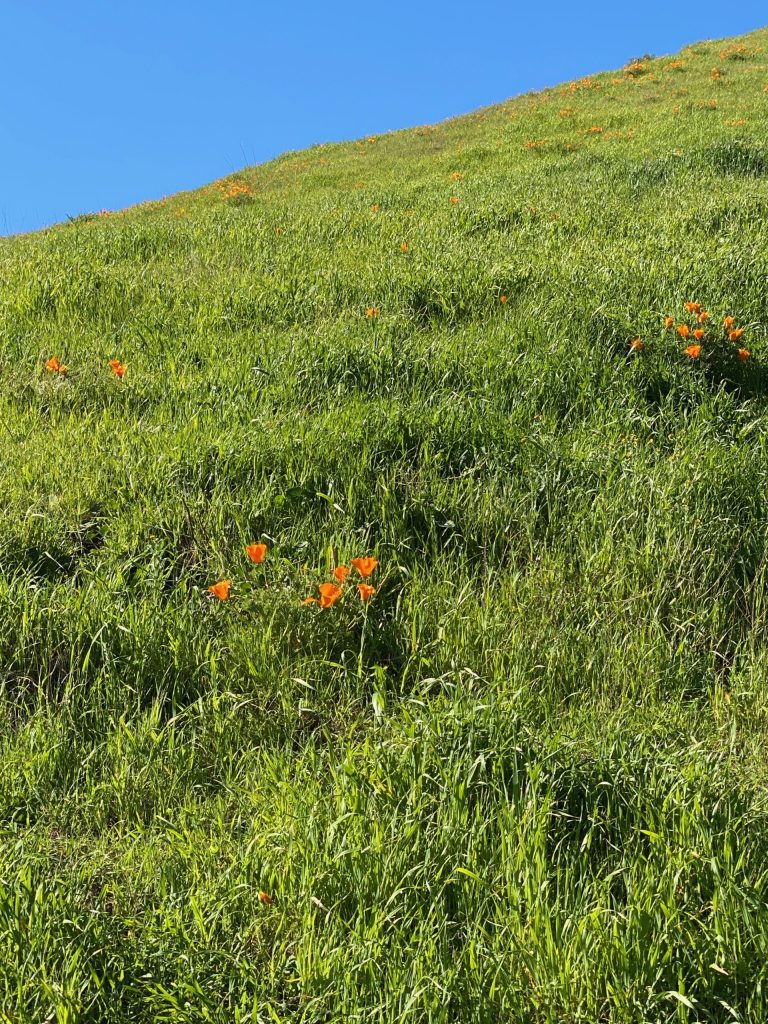
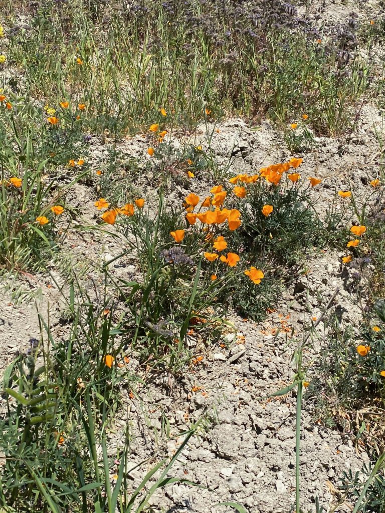
Poppies
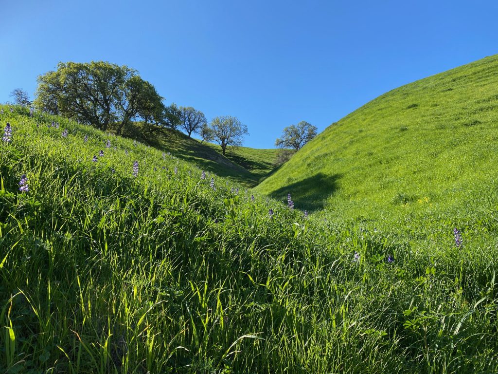
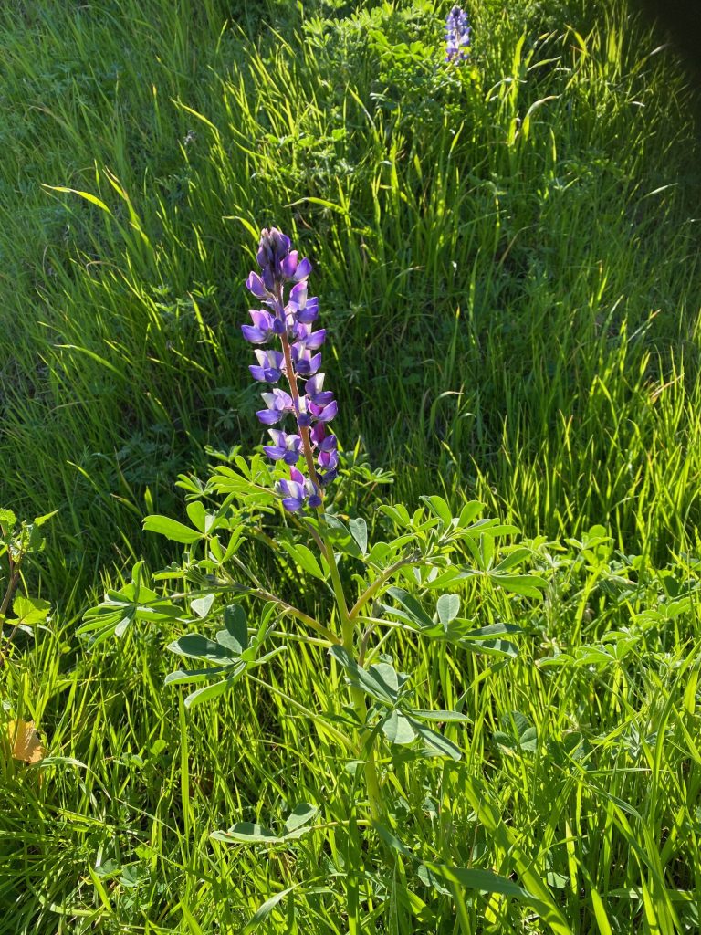
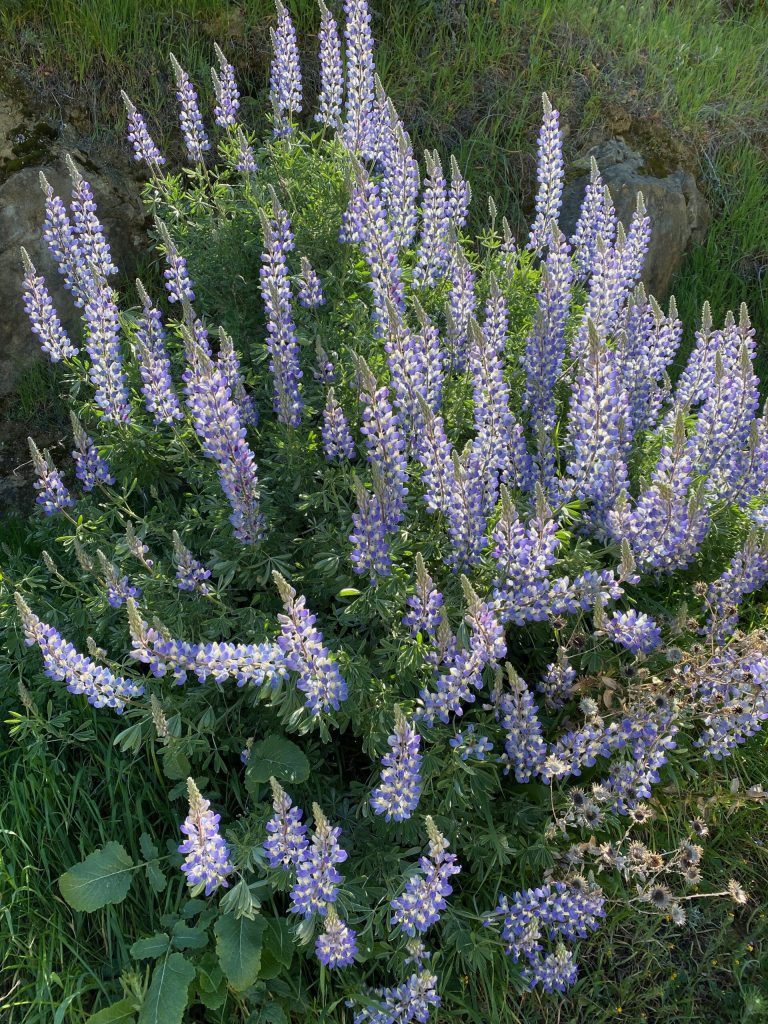
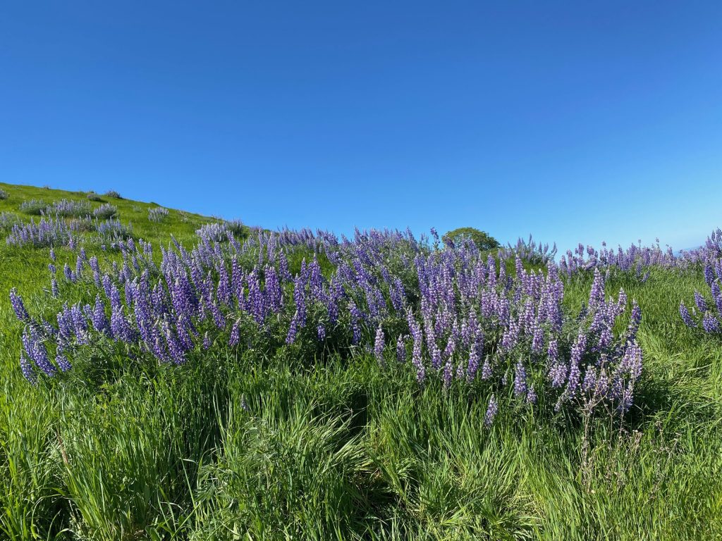
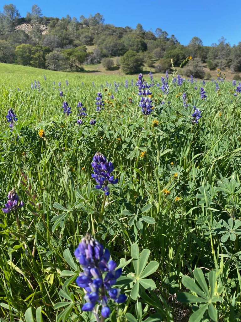
Lupines
Then, you can see a lot of lupines in Black Diamond Mines park, the time was perfect.
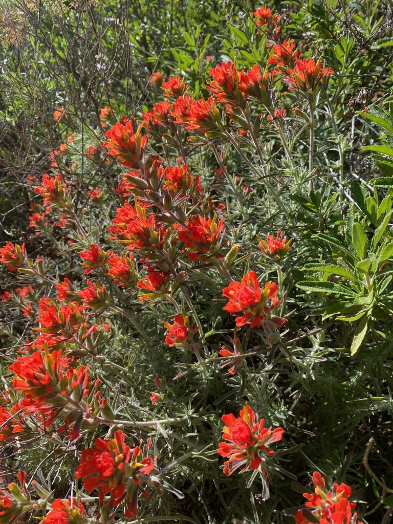
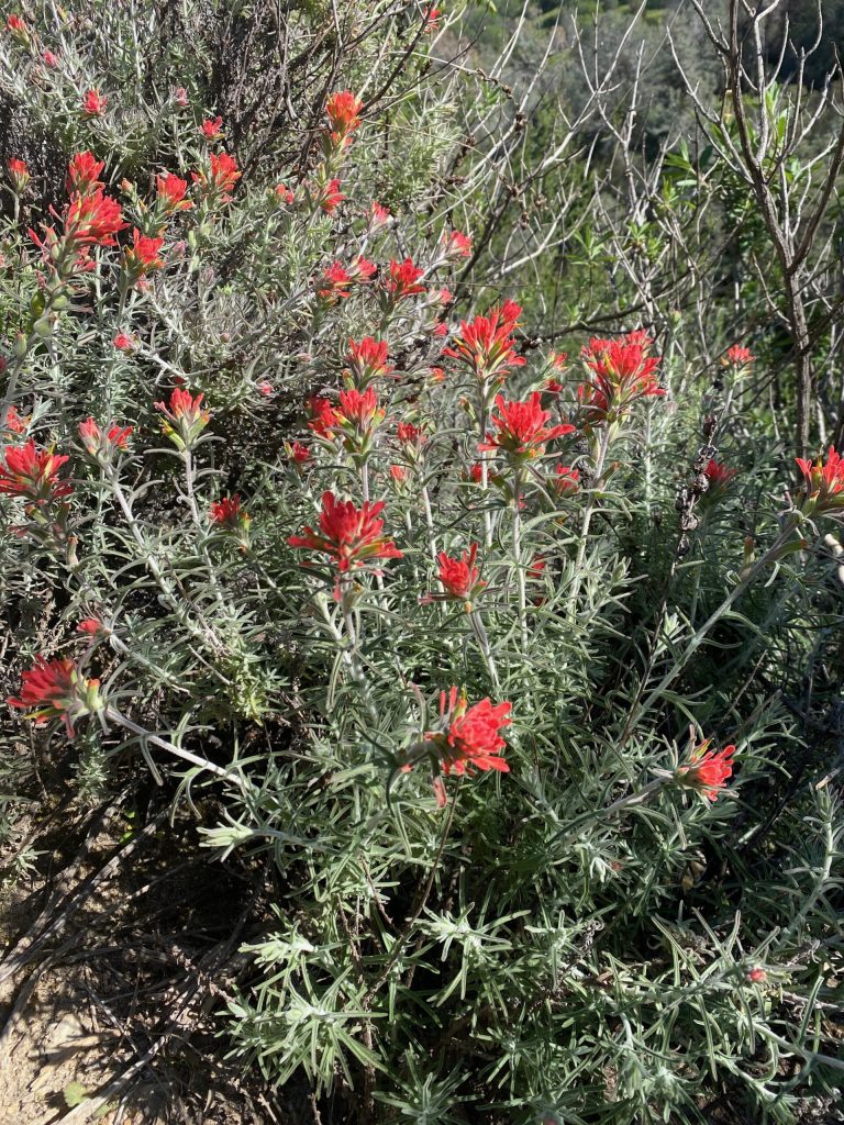
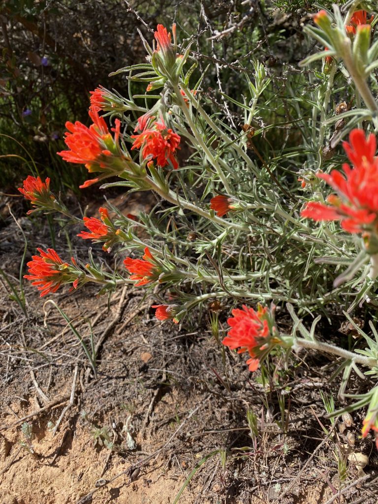
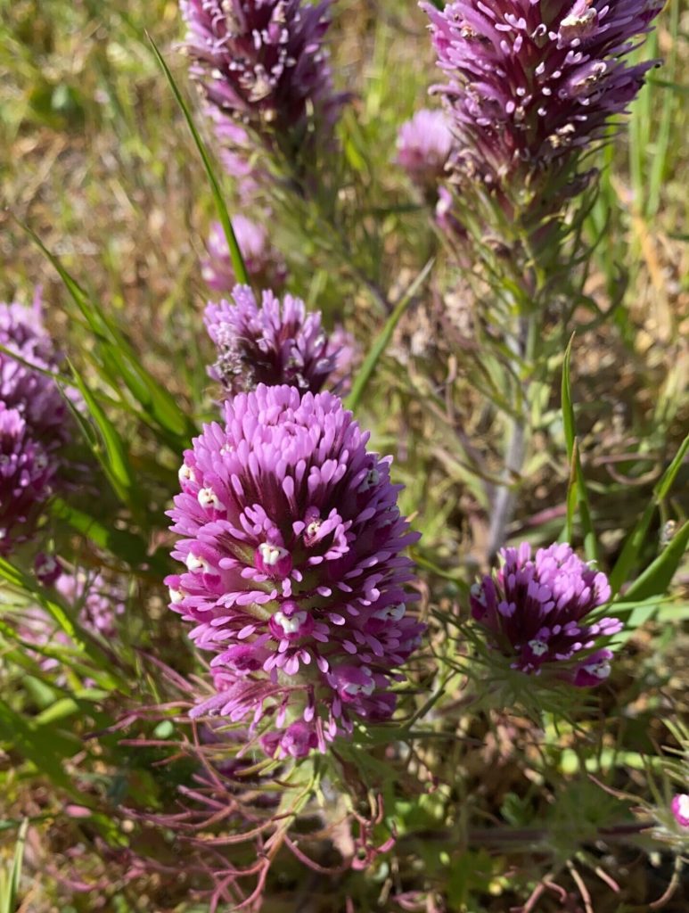
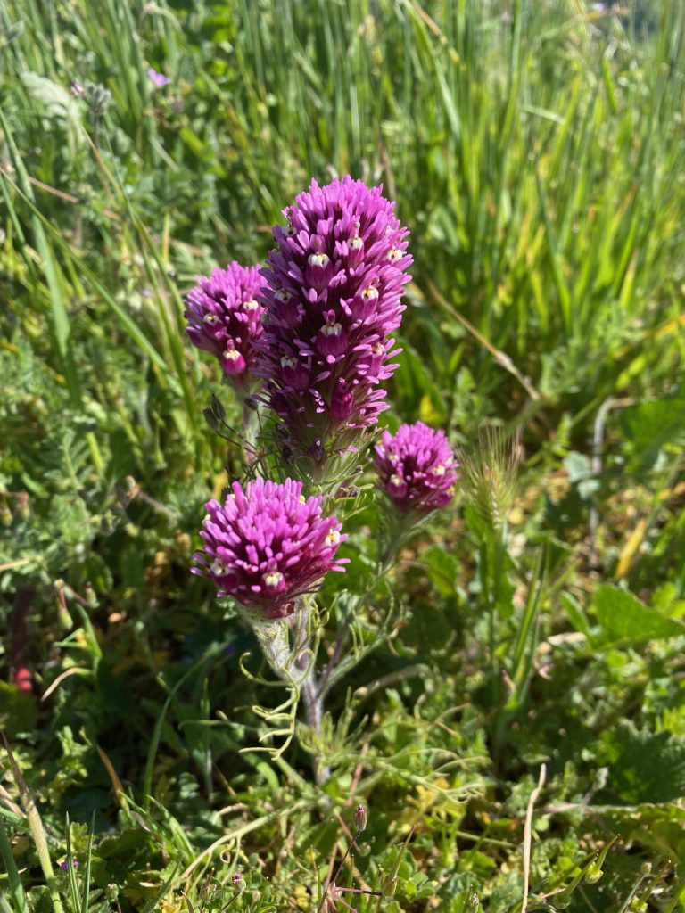
Wolly Indian Paintbrush
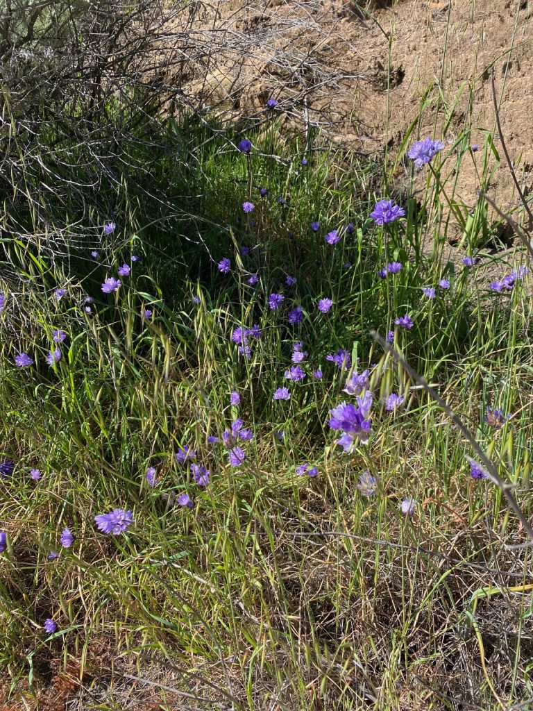
Purple Owl's-clover
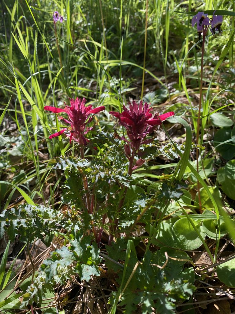
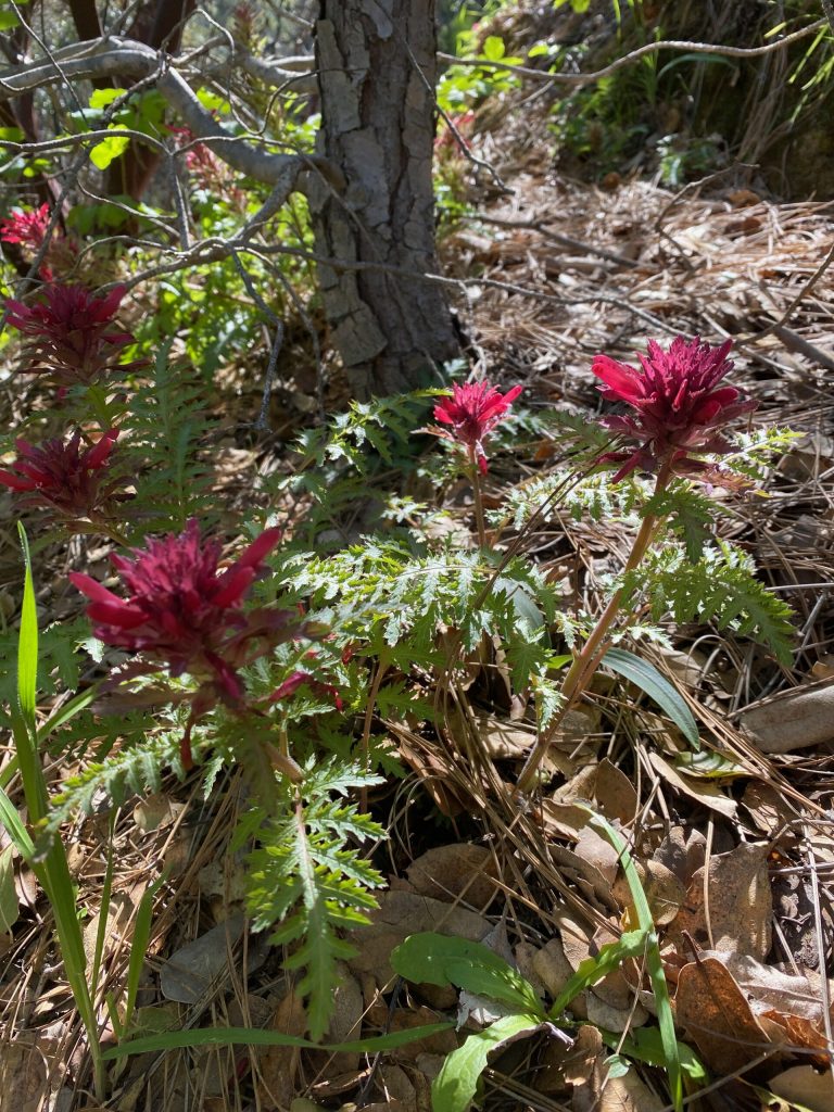
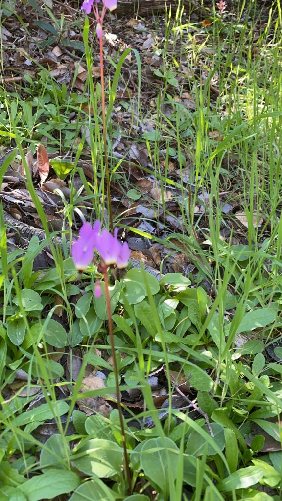
Warrior's Plume
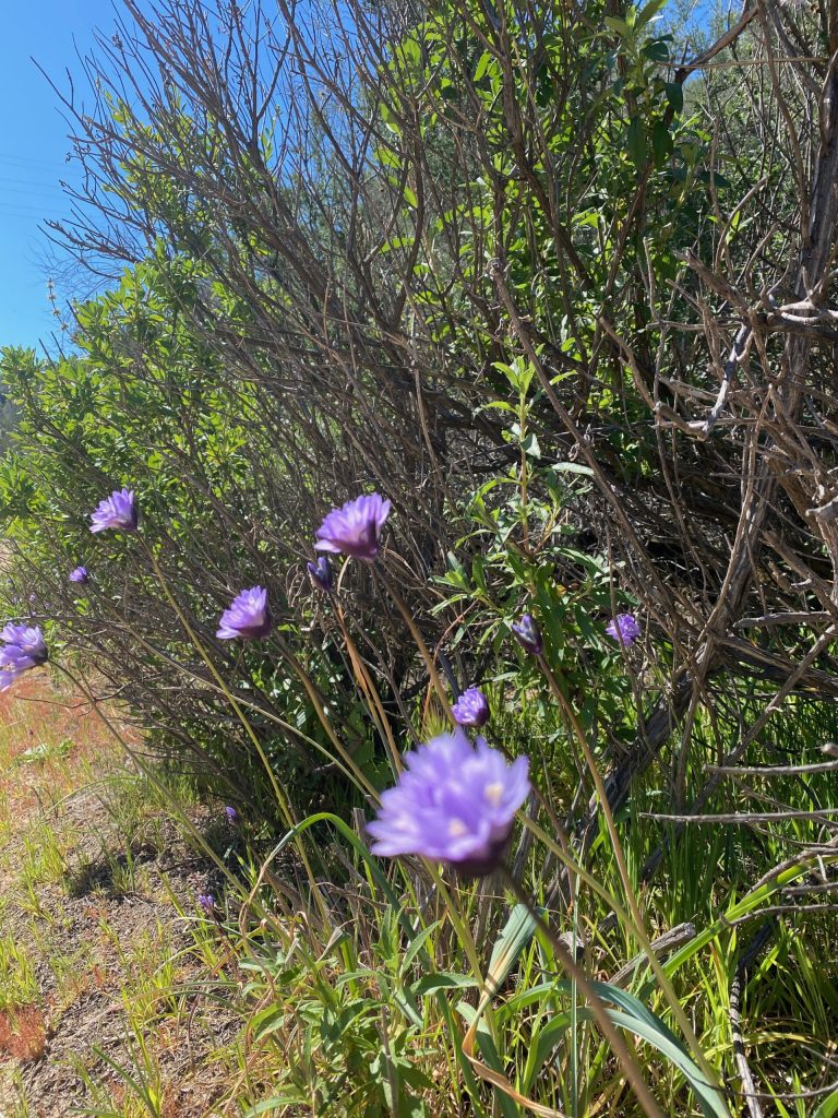
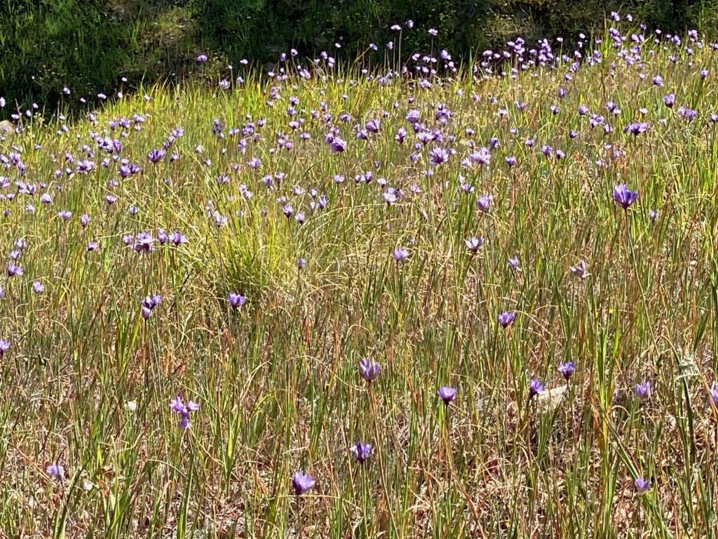
Blue Dicks
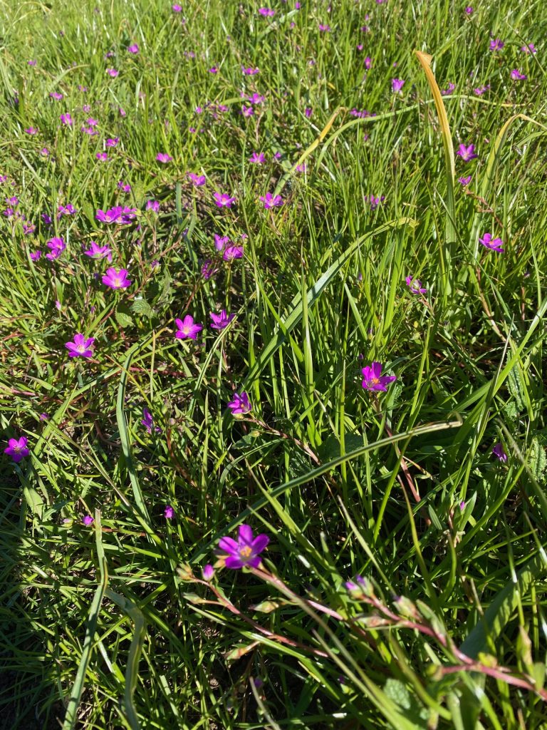
Redmaids
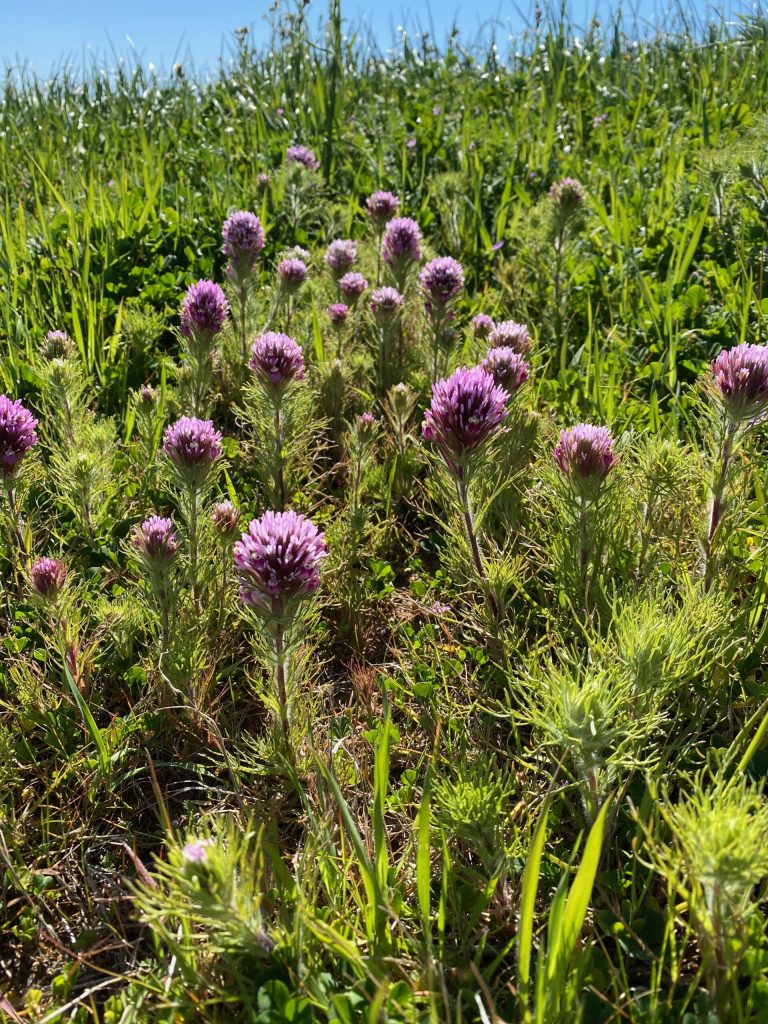
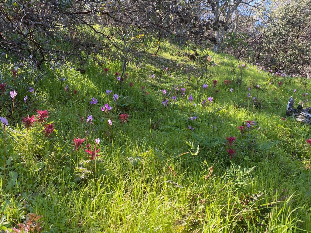
Black Diamond Mines mixed of flowers
We were surprise to see all those varieties, under the trees nice protection against the sun.
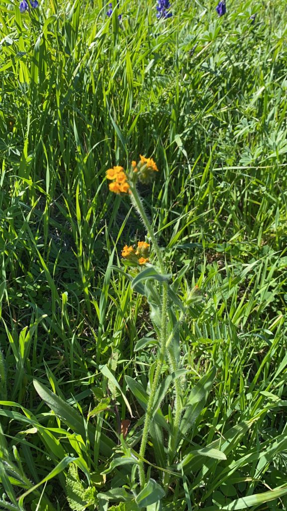
Common fiddlenecks
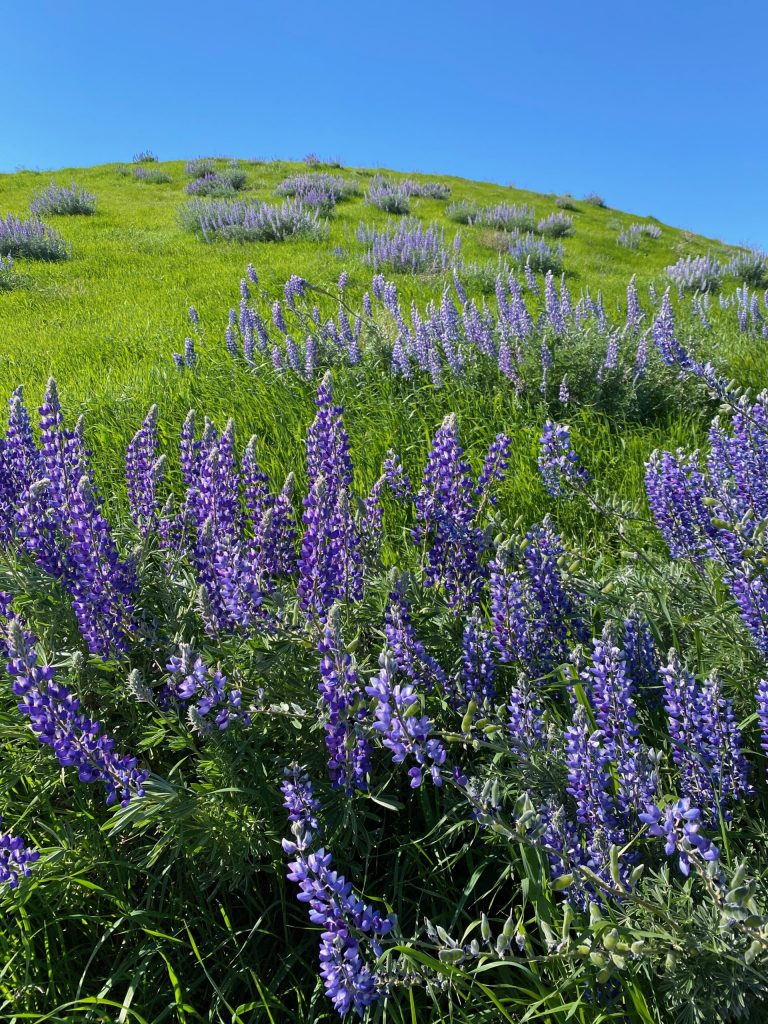
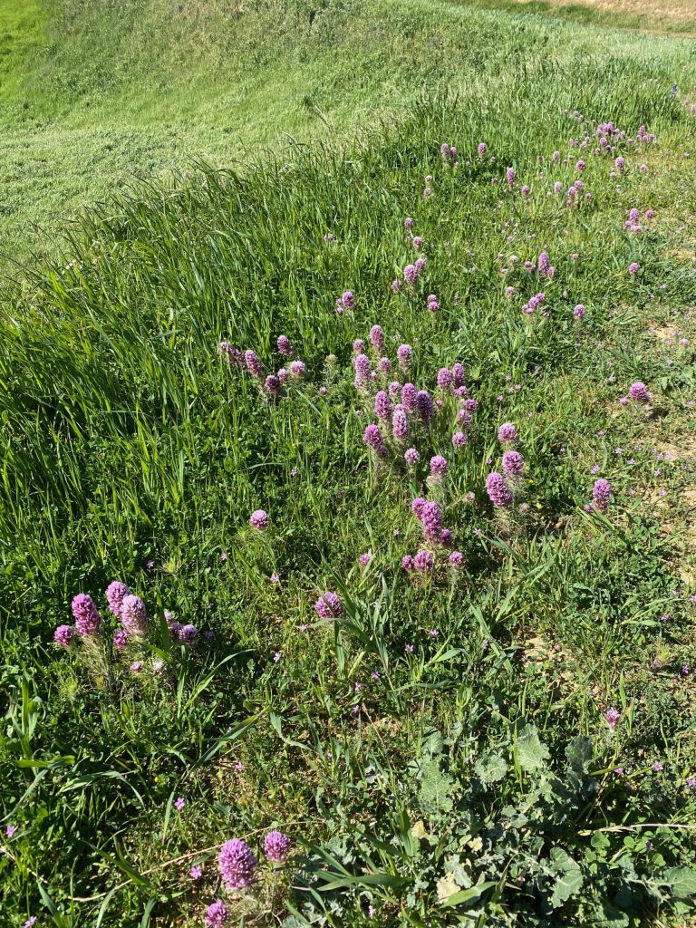
On our way back
In the last photo, along the path, you will see a lot of areas covered by flowers. Finally, take the time to enjoy and save the moment. Shortly, this is only a partial view of what you can see and discover.
Hike location: 5175 Somersville Road Antioch, CA 94509
You want to find all the information about this hike? You want to create your own adventure and discover unique spots? Try our duoveo application!
duoveo APP
duoveo provides a nonintrusive mobile experience supported by a caring community, helping you find your path to well-being at your own pace.