address : Angel Island Ferry Tiburon
Map
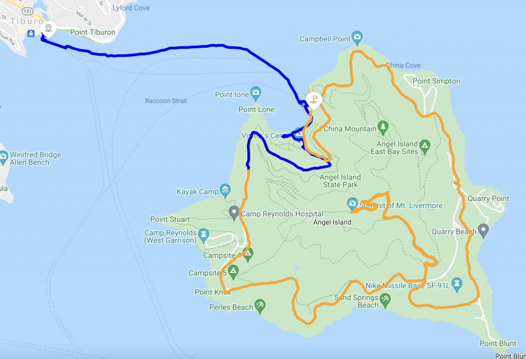
* The trip includes the boat route
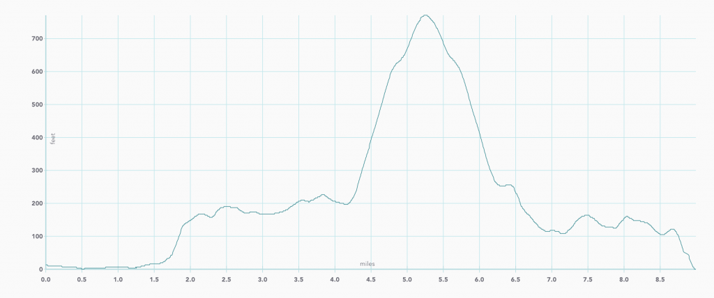
Elevation
The history of Angel Island
History
Until about ten thousand years ago, Angel Island was connected to the mainland, and cut off by the rise of the sea level after the Ice age ended.
The Island has been used for multiple purposes
Hunting and gathering by indigenous people
Water and timber for European ships
Military infrastructure for the United States military
Quarantine Station
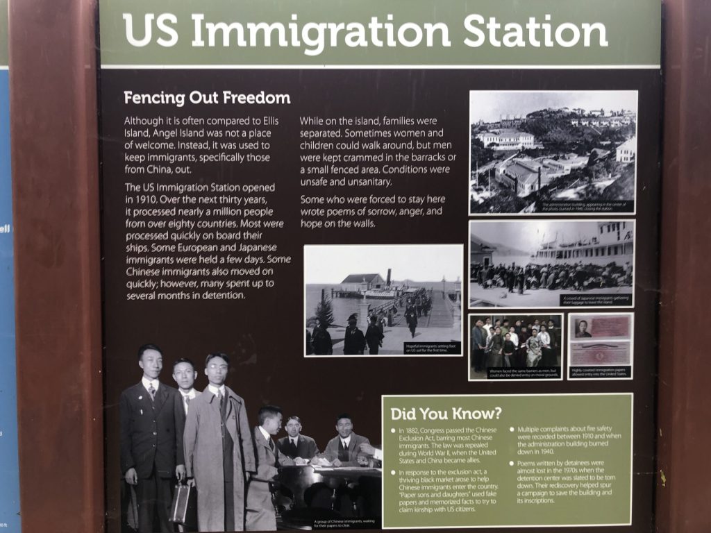
Immigration, inspection and detention facilities, mostly for people coming from Asia
Today
The entire Island is administrated by the California State Parks.
This is an easy adventure to perform with any family member from 7 to 77 years old. You may enjoy the time exercising and learning about the history of this island. Go up to the top, enjoy a 360 deg view to discover the entire Bay Area. On a clear day, you can see up to Napa Valley. There are several spots to stop for a picnic lunch or even sleepover, if you bring the right equipment.
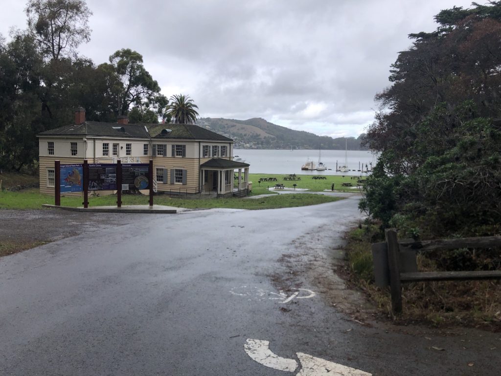
Angel Island disembarkation port
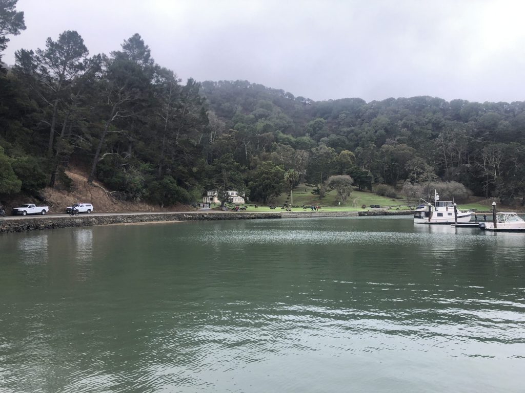
How to get to Angel Island
How to get there ?
To reach the Island, you have 2 options: the ferry from San Francisco or from Tiburon.
Tiburon is much more convenient and you can find a cheap parking lot very close to the ferry .
The ferry leaves Tiburon every hour from 10AM to 4PM during the high season. You may camp overnight, bring all the equipment and enjoy the time. Bikes are authorized as well.
Geography
Location : San Francisco Bay
Coordinates : 37.86°N 122.43°W
Area : 1.2 sq mi (3.1 km2)
Highest elevation : 788.76 ft (240.414 m)
Highest point : Mount Livermore
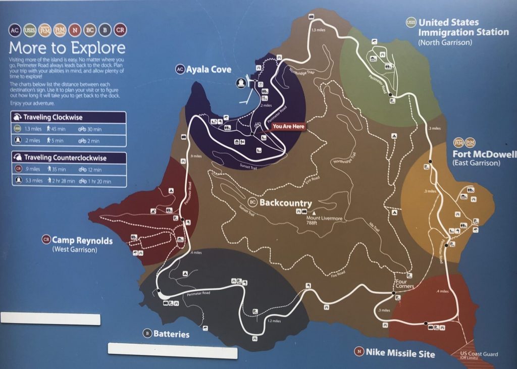
Walking around the island
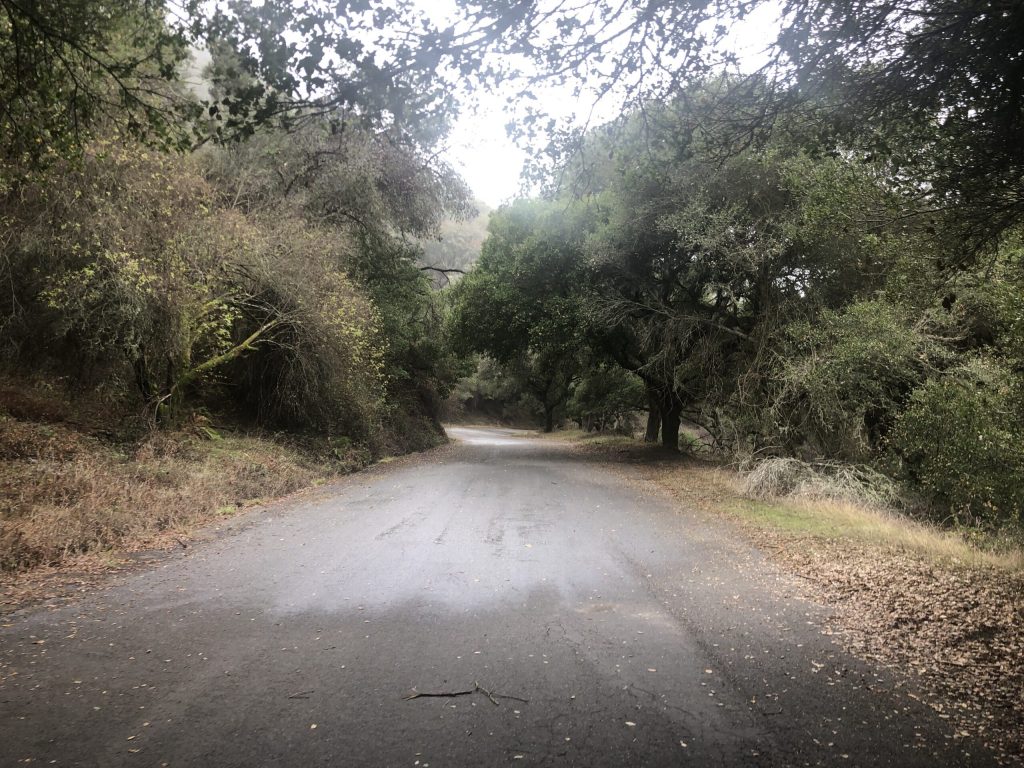
Let’s start. As you can see there is a wide road circling around the Island. That is the main road and the best way to discover what it has to offer. It is a road with a very gentle slope and anyone can take it.
From the disembarkation port we go west and walk the road counter-clockwise.
Historic buildings
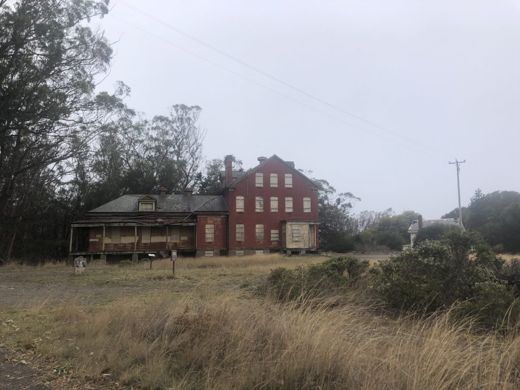
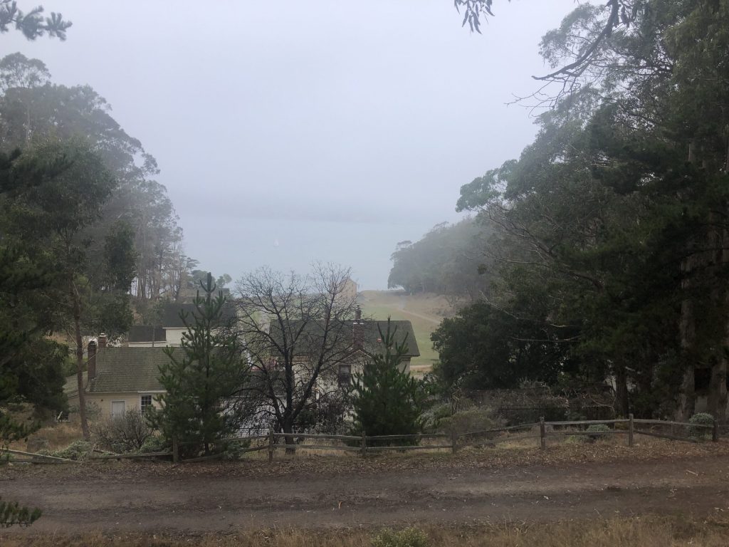
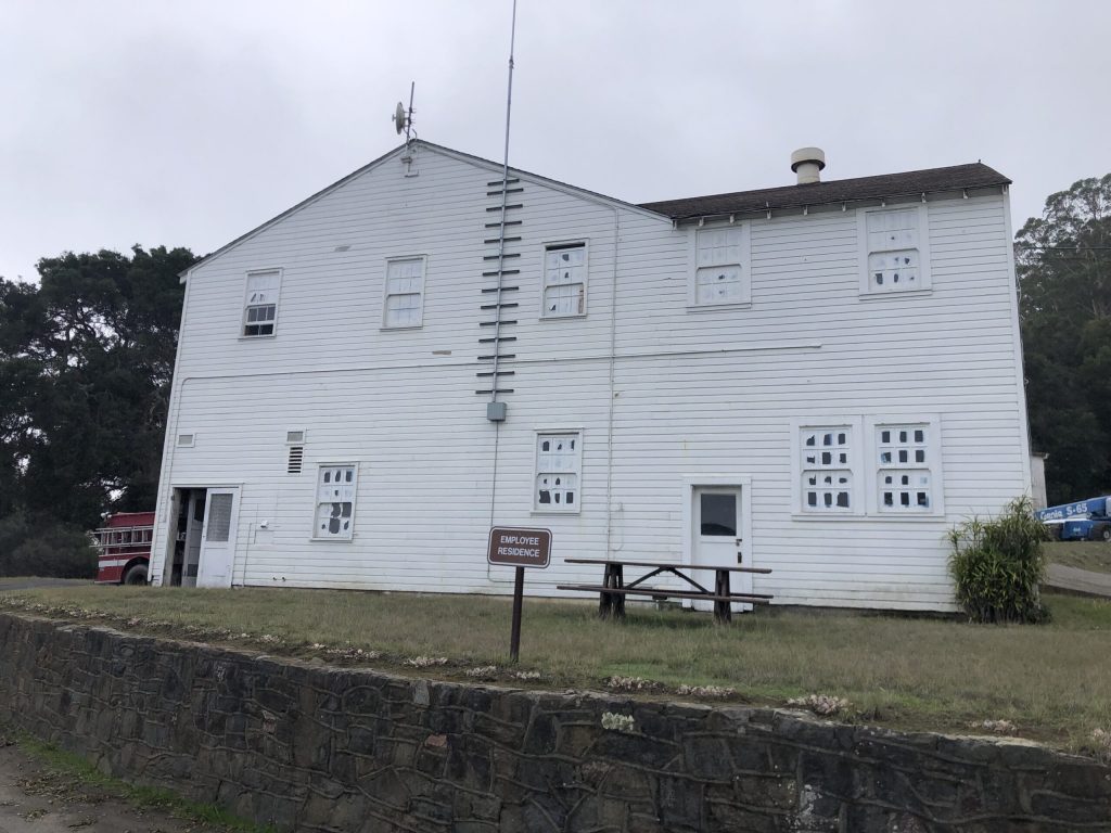
During this adventure, you will see some renovated structures and a lot of older ones built over the last hundred years which serve multiple purposes. Some are well identified some not really.
Trees and vegetation
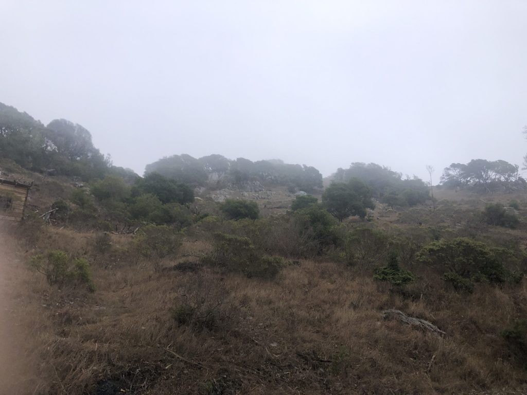
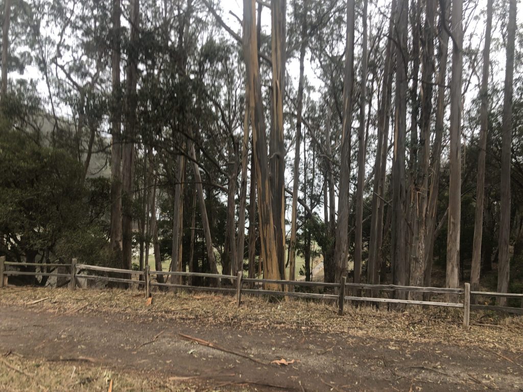
The climb to the South-West of the Island is relatively easy. As usual in this area you see a mixture of vegetation and non native eucalyptus trees .
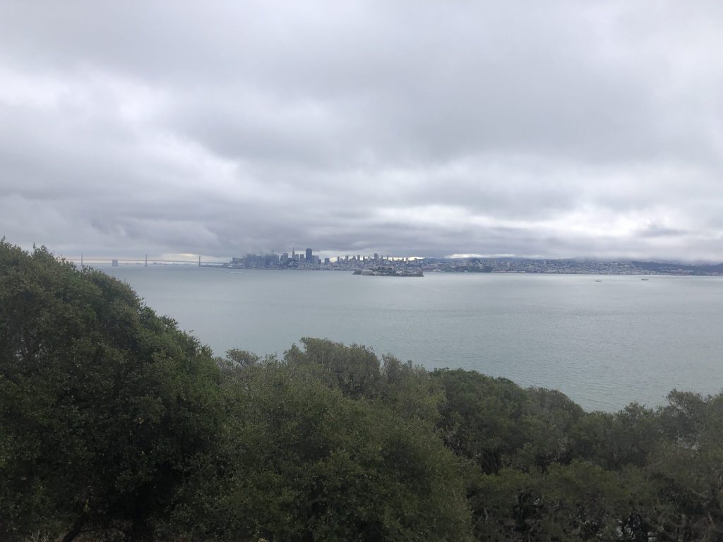
Alcatraz
Between the island and San Francisco you can see the world most famous and scariest penitentiary. Behind Alcatraz, San Francisco and the Bay Bridge.
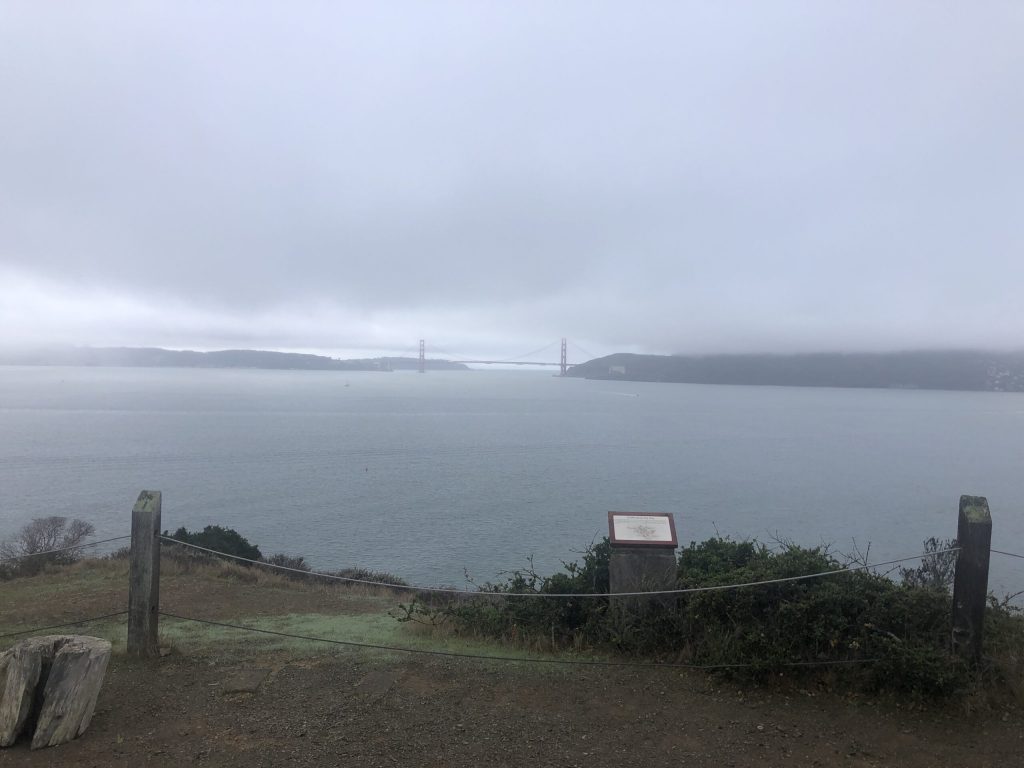
The Golden Gate Bridge
Always there, majestic and beautiful in any circumstance, and at any time of the year. This spot gives you a unique point of view on the bridge. Quite impressive.
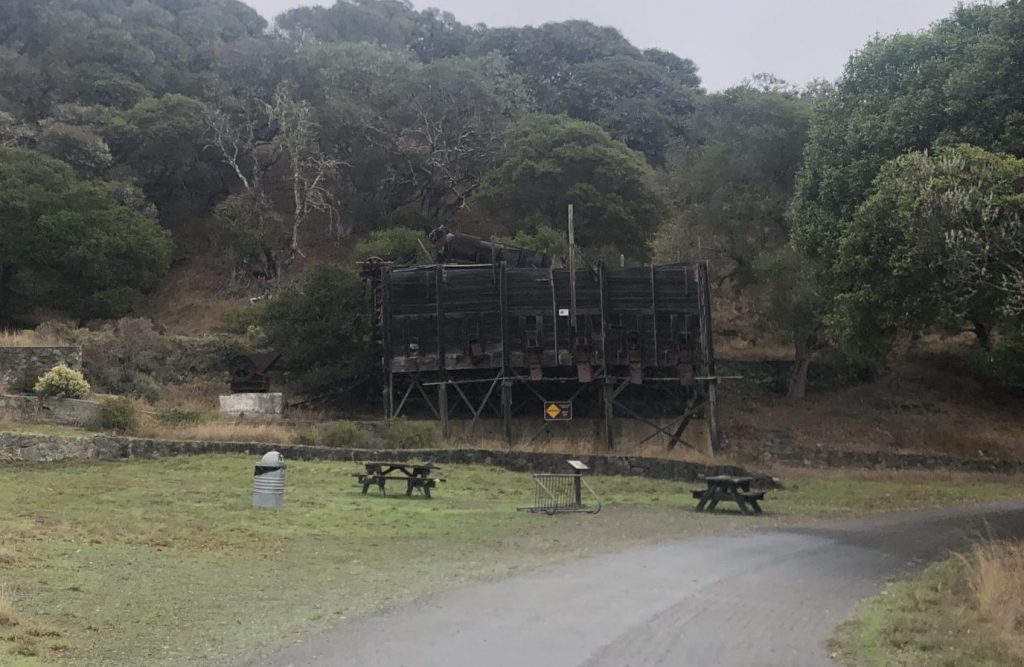
Mysterious Infrastructure
During your visit, you will come across this uncommon piece of infrastructure, Not sure what it is about exactly. My first impression was a sort of storage which was used to distribute materials. I can’t figure out its real purpose.
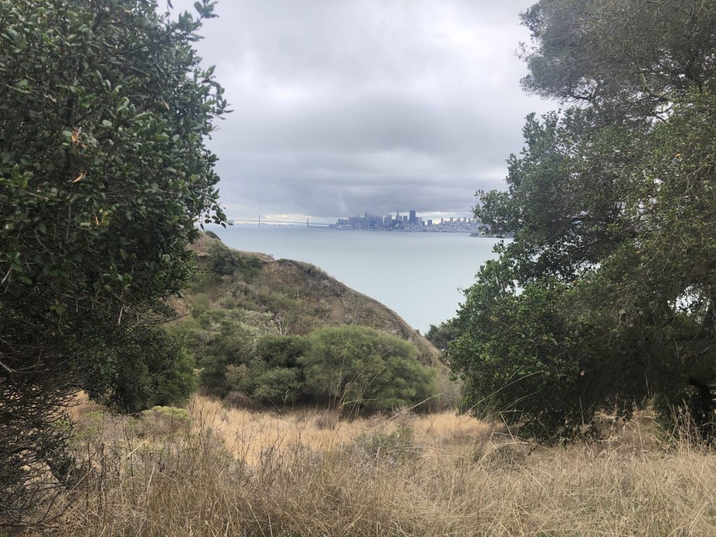
Down south: views of San Francisco and Fort Mc Dowell
Moving further to the south side of the island, you’ll get some more nice views over San Francisco and the Bay Bridge, even during a cloudy day.
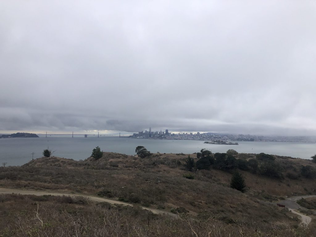
View of Fort McDowell South
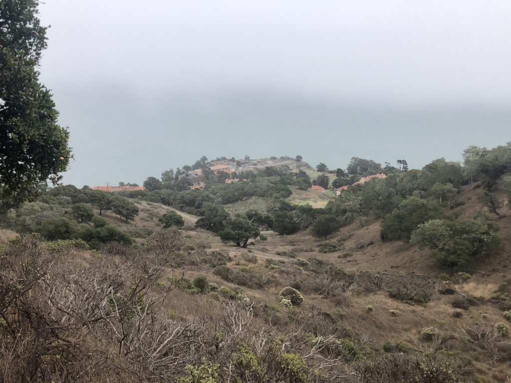
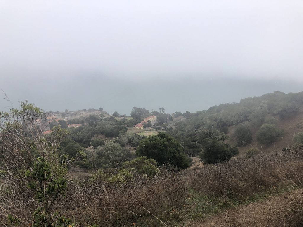
The road to Mount Livermore
Mount Livermore is the highest point of Angel Island, right in the center. You take the trail from the south point, it is all indicated.
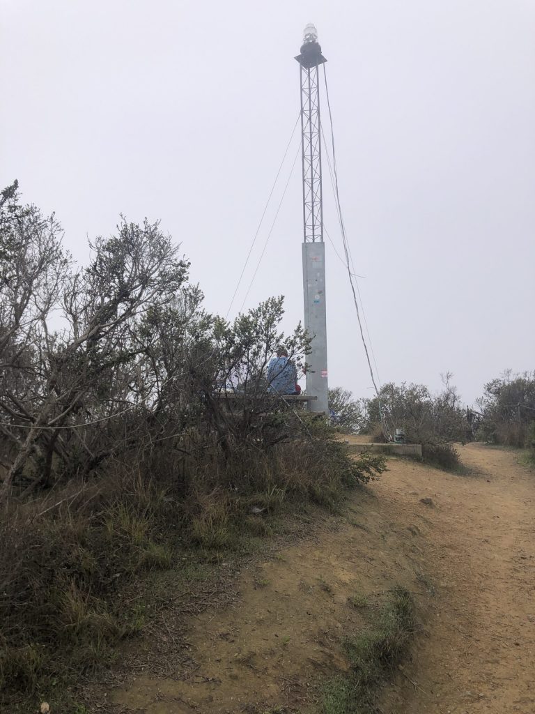
Almost at the top, ready to look around, unfortunately the blue sky expected is not there today.
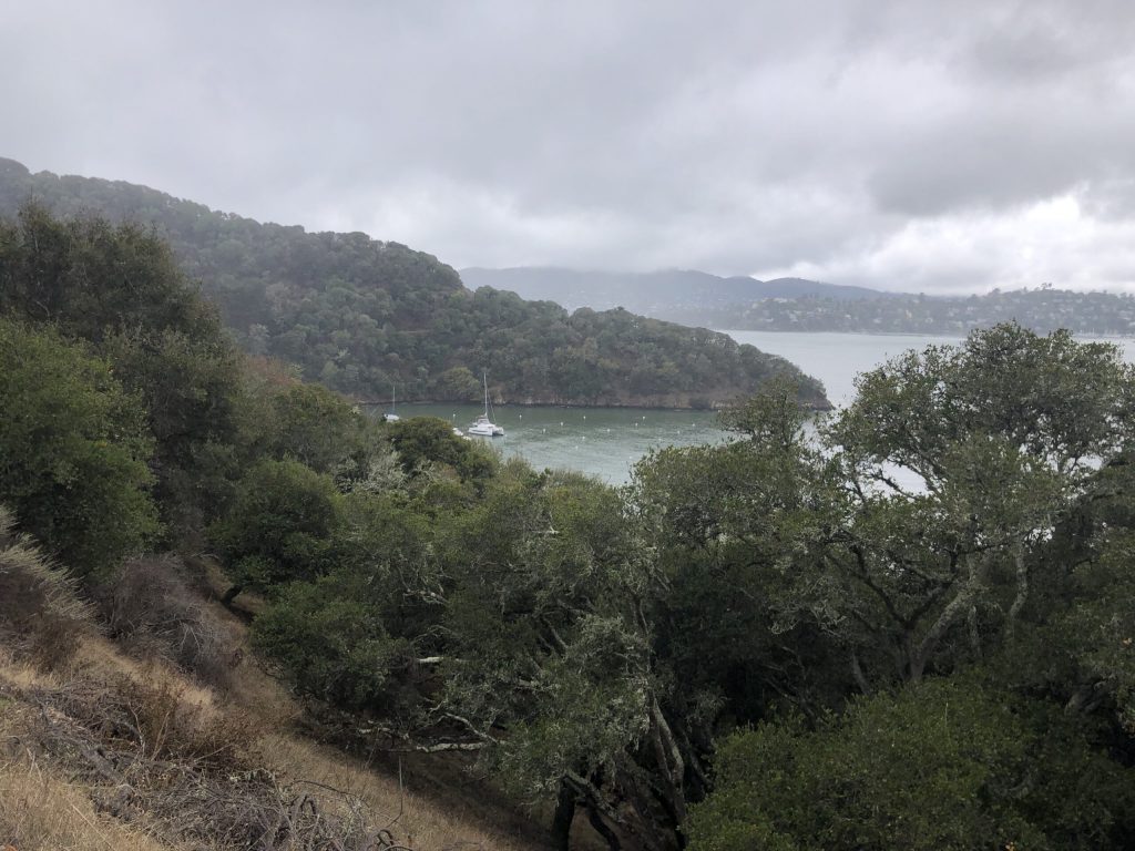
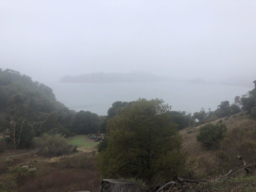
Down the hill one can see the Angel Island disembarkation port. A few boats have stopped for the day.
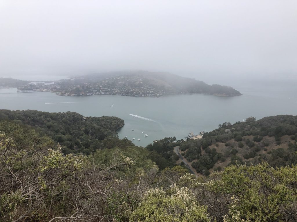
Another view. At the top there is a rest area with picnic tables at 3 different locations .
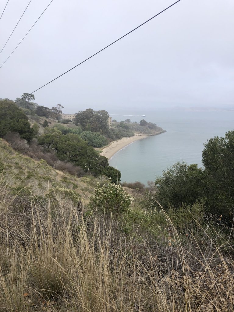
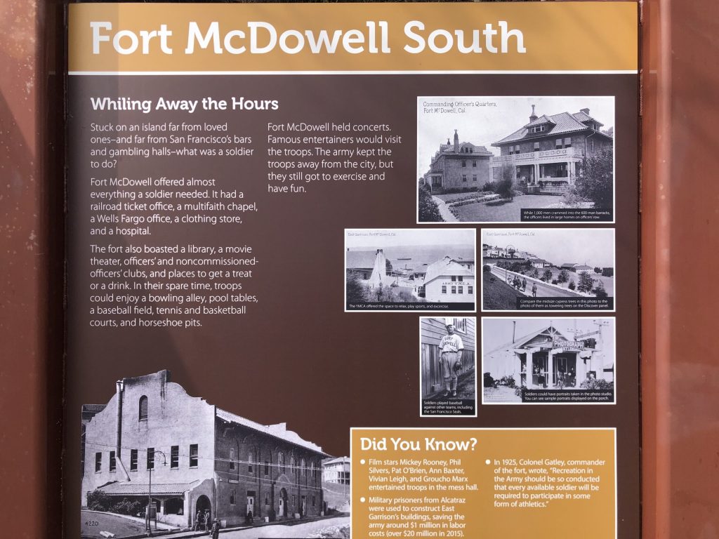
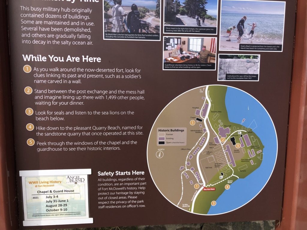
Fort McDowell South
Back from the summit from the same trail and going north on the main road, you will find Fort McDowell South.
In the later 19th century, the army designated the entire island as “Fort McDowell” and developed further facilities there, including what is now called the East Garrison or Fort McDowell. It continued to serve as a transit station throughout the first half of the 20th century, with troops engaged in World War I embarking and returning there. At the end of World War I the disembarkation center was commanded by William P. Burnham, who had commanded the 82nd Division in France during the war.

Barracks
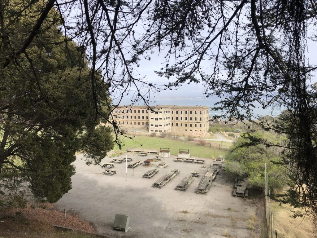
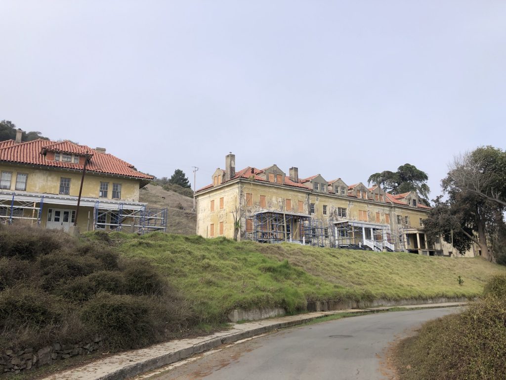
Officers’ house
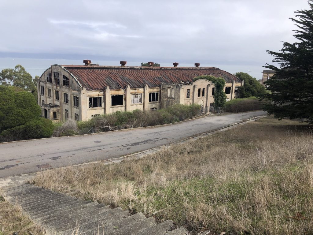
Storage
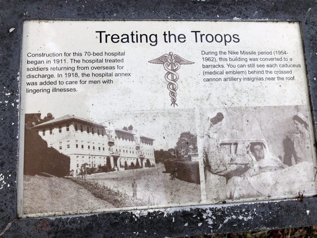
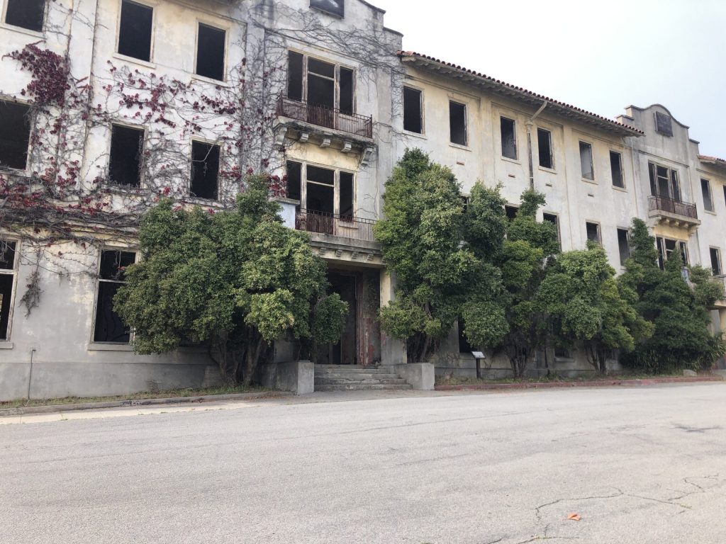
Hospital
In order to take care of the troops coming back from the war, a large hospital was built on the island.
During the Spanish–American War the island served as a discharge station for returning troops.
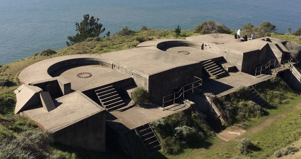
Nike missile station
In 1954 a Nike missile station was installed on the island. The missile magazines were constructed above Point Blunt on the island’s southeast corner, and the top of Mount Ida (now Mount Caroline Livermore) was flattened to make way for a helipad and the associated radar and tracking station (IFC). The missiles were removed in 1962, when the military left the island. The missile launch pad still exists, but the station atop Mount Caroline Livermore was restored to its original contours in 2006. (source Wikipedia)
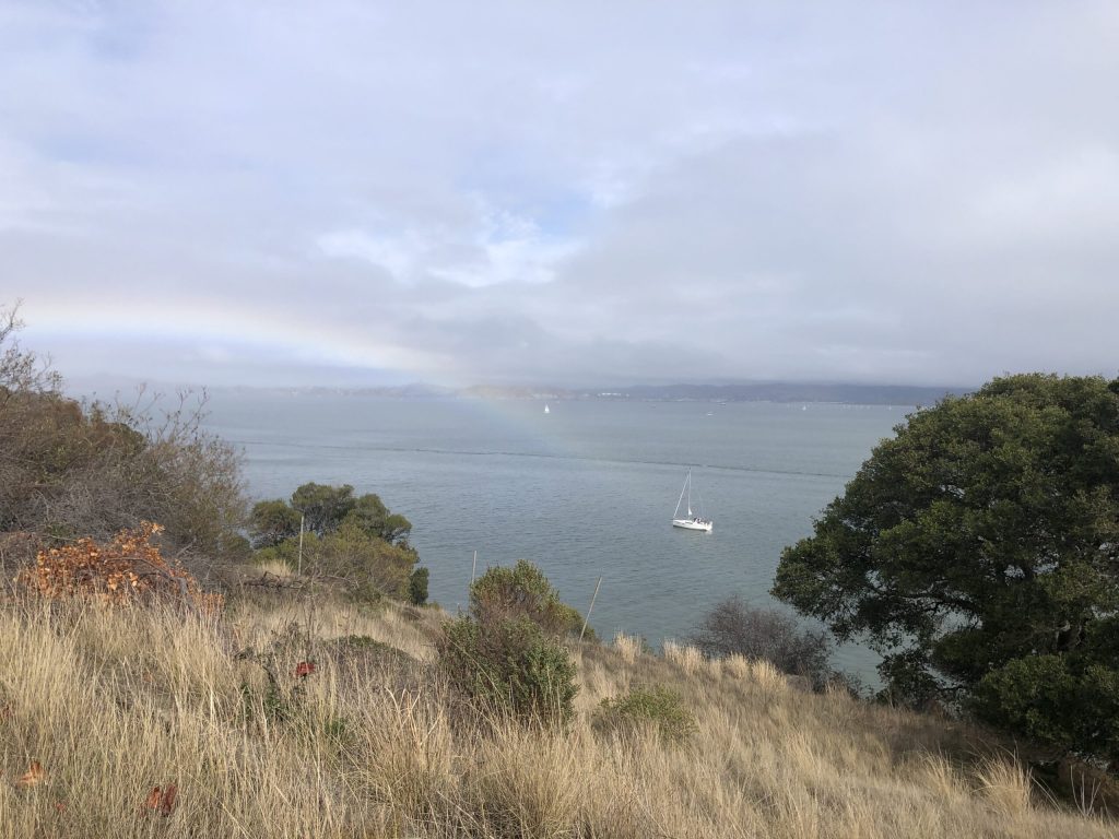
Rainbow !!!!!
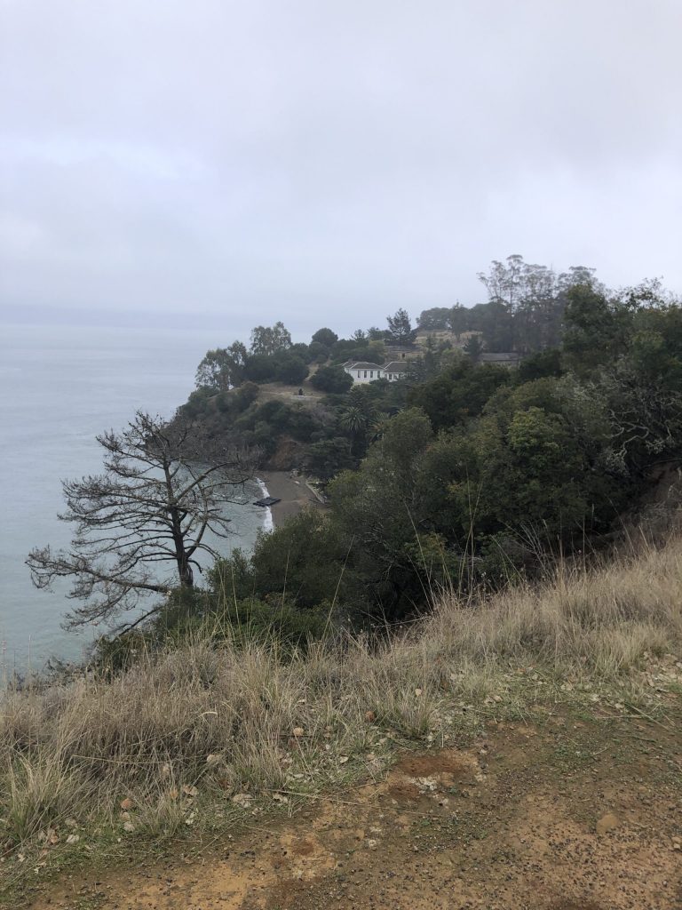
View on the facilities and one of the beach around the island
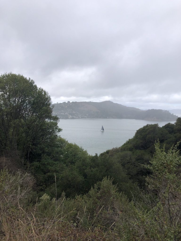
boats sailing around the island
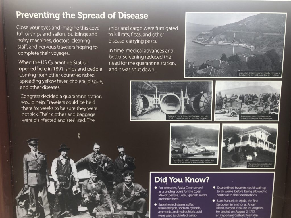
Quarantine station
The bubonic plague posed such a threat to the U.S. that Angel Island opened as a quarantine station in 1891 to screen Asian passengers and their baggage prior to landing on U.S. soil
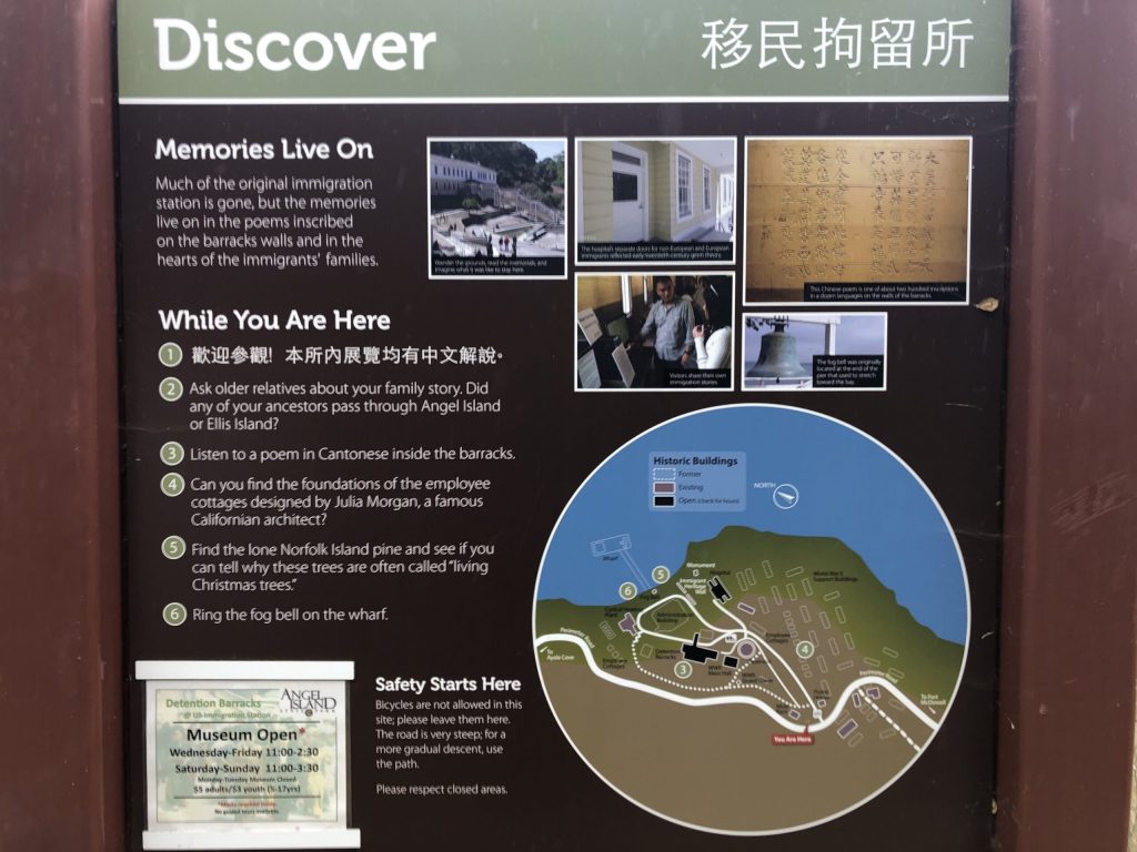
Immigration station
The immigration station at Angel Island was predominantly used to inspect, disinfect, and detain Chinese, Japanese, and other Asian immigrants who sailed across the Pacific Ocean. In addition to standard medical examinations, Chinese immigrants were inspected for parasitic diseases, and the tests for intestinal parasites required a stool specimen. Immigrants described the examination and disinfection process as brutal, humiliating, and indecent. Passengers who were found to be sick were sent to the hospital on the island until they could pass a medical examination and an immigration hearing. Investigation processes determined the length of time an immigrant would stay at the station and Chinese immigrants could be detained for a period as short as two weeks to as long as two years. A person’s racial identity and social class determined the intensity of the examination imposed, resulting in fewer white Europeans and American citizens being subjected to the inspections. (source Wikipedia)
Back to the port
This is the end of a full day, during which we exercised while learning a lot about this small island.
