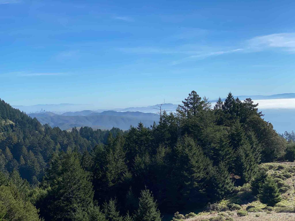
Mount Tamalpais rises majestically from the heart of Marin County in California. Its deep canyons and sweeping hillsides are covered with redwood forests , oak woodlands, open grasslands and sturdy chaparral. Therefore, the mountain itself covers around 25,000 acres. There are about 60 miles of hiking trails, which are connected to a larger, 200 miles network of trails in neighboring public lands.
The view from the mountain peak at 2571 feet is just spectacular. On a clear day, visitors can see the Farallon Islands 25 miles out to sea, the Marin County hills, San Francisco and the Bay , hills and cities of the East Bay and Mount Diablo. Moreover, on rare occasions, the Sierra Nevada’s snow-covered mountains can be seen 150 miles away.
We captured the pictures and maps with our DuoVeo app.
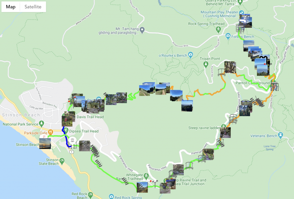
Mount Tamalpais hike on the map
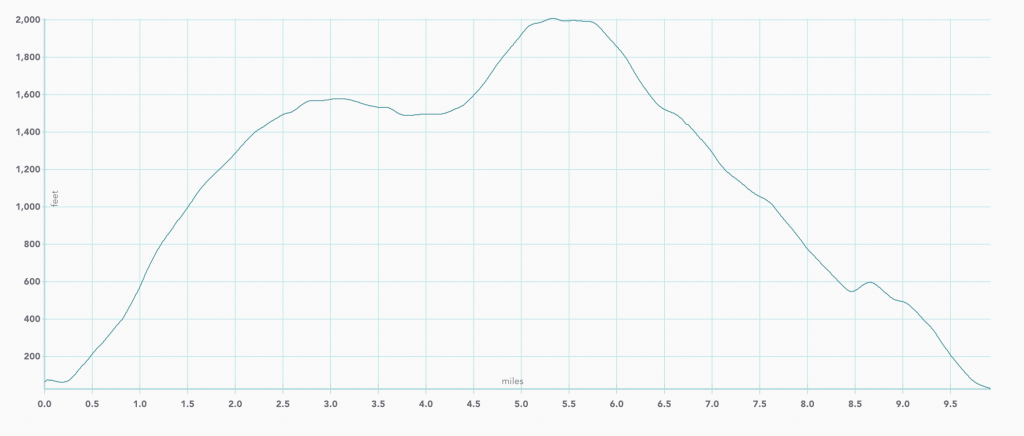
Elevation graph of Mount Tamalpais hike
A combination of 3 trails
This California hike combines 3 trails : Matt Davis, Steep Ravine and Dipsea.
Matt Davis Trail
The mountain trail start behind the fire station. Matt Davis is such a nice mix of various views and terrains, the perfect trail through a spectacular landscape.
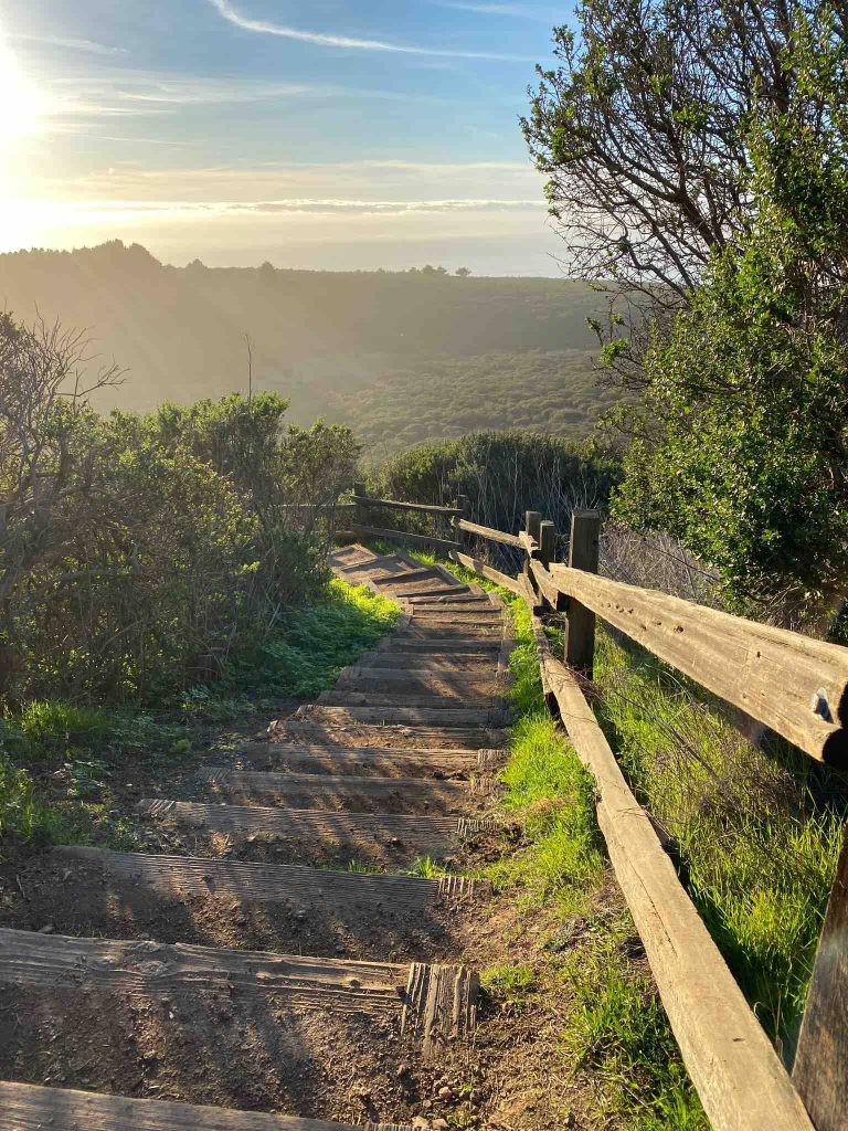
The entire experience, from Stinson Beach to Pantoll is entertaining and beautiful. First, you step onto a bridge, cross a creek and you will begin the moderate ascent with occasional wooden fences. Beware, there might be some poison oak along the trail too. After a few switchbacks, you’ll emerge on costal scrub and enjoy the view west to the ocean.
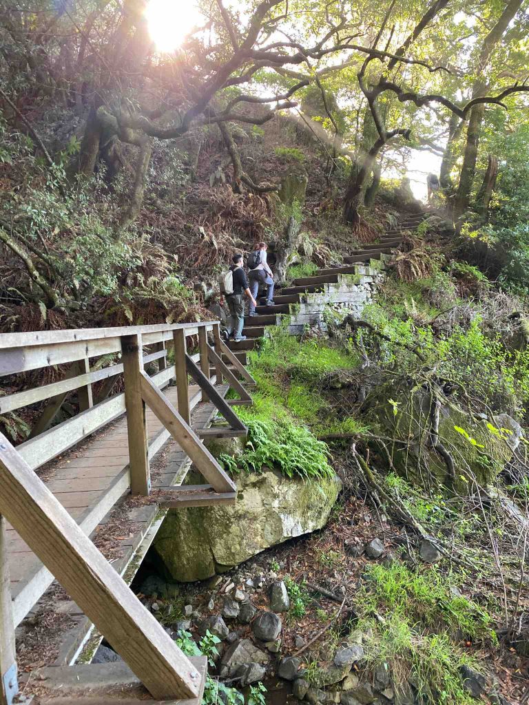
Moving forward the mountain trail heads back into the woods. Another bridge and cascades of water (in winter), then a series of steep steps guide you to a pretty spot with giant rocks.
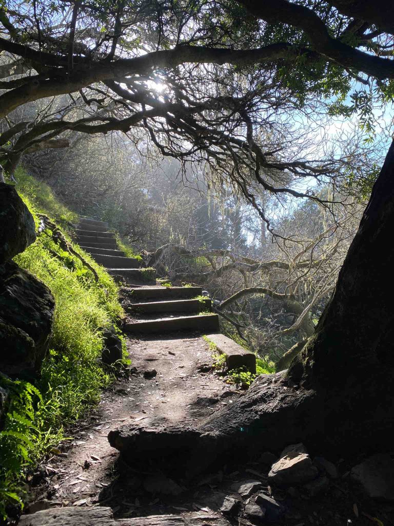
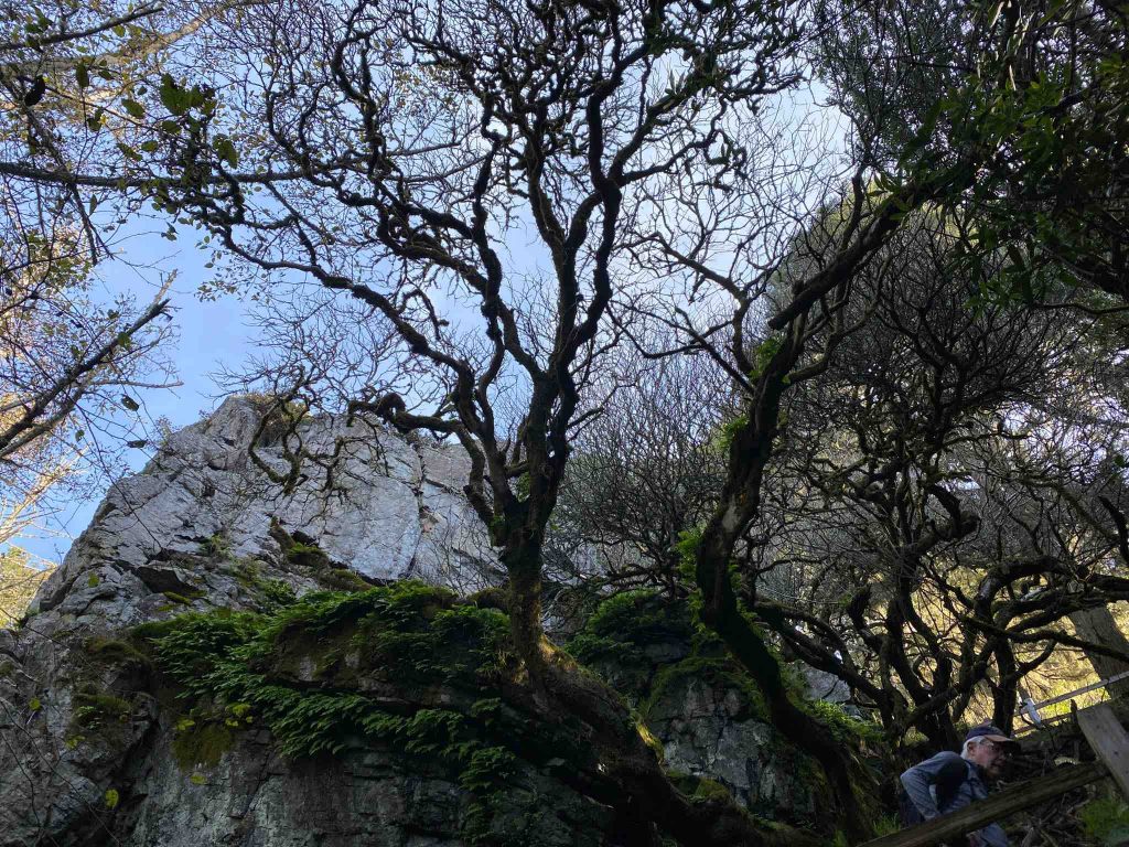
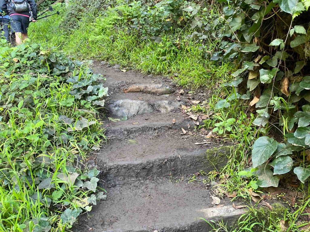
Mount Tamalpais, view from the top
Continue on to reach a massive boulder, Table Rock (off trail) which provides a perfect spot for a rest or lunch stop with views to Stinson Beach.
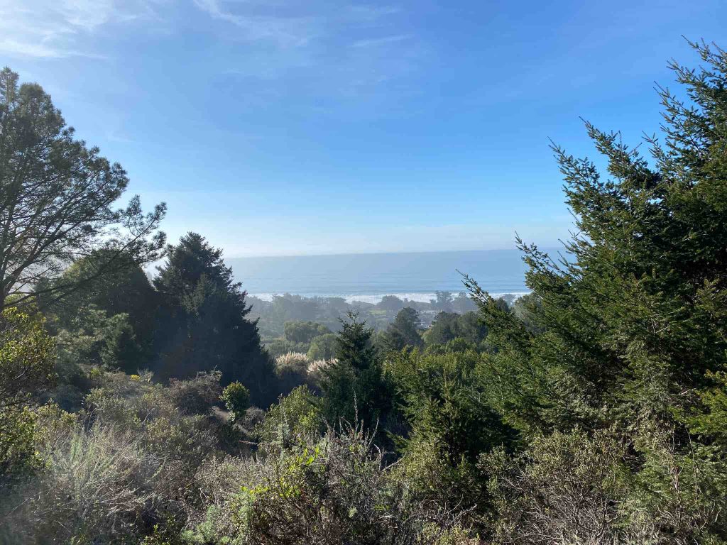
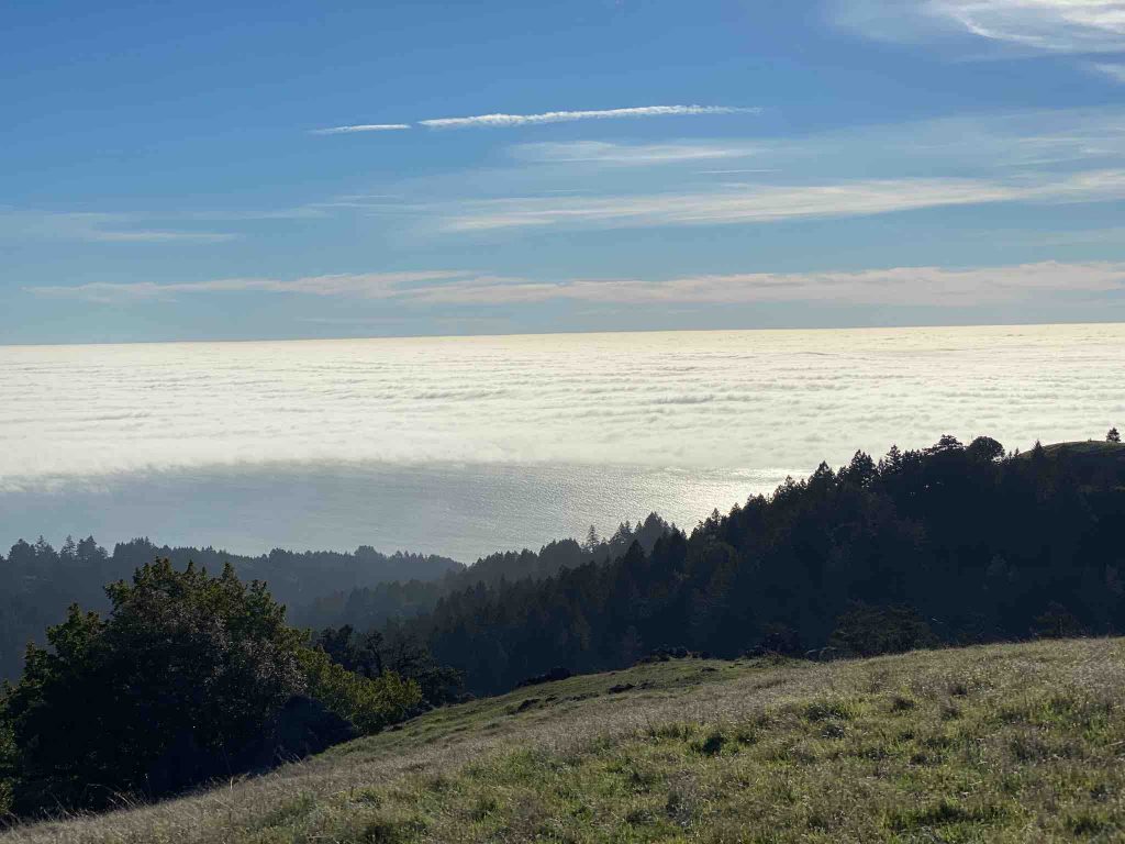
Peripheral View
Finally, you reach grassland, and this California hike climbs gently to a junction with a viewpoint encompassing the Marin Headlands, San Francisco, the Golden Gate Bridge and the coastline well into San Mateo County.
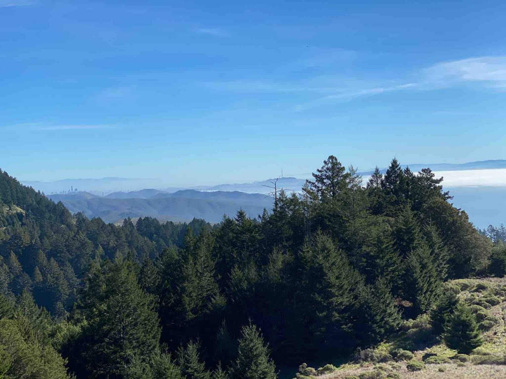
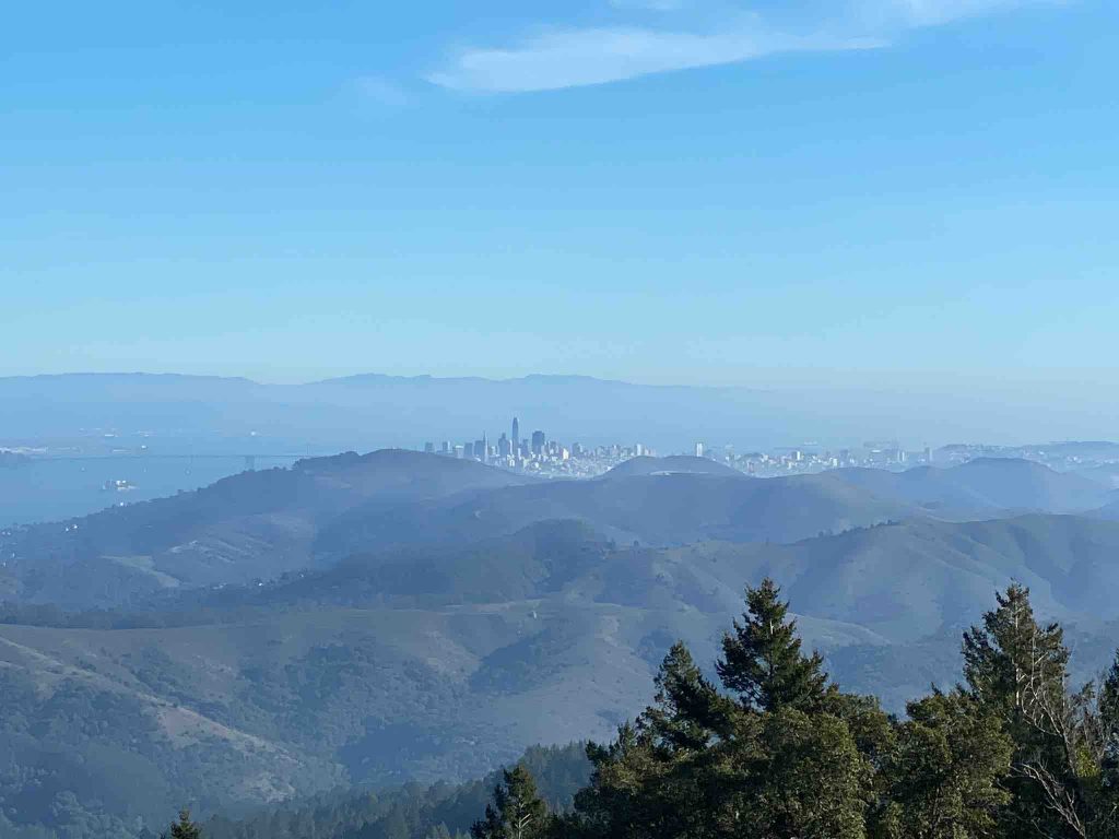
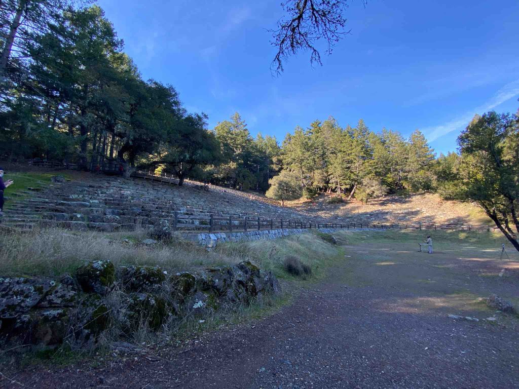
Mount Tamalpais Amphitheater
First, continue through grassland and back into a woodland at nearly level grade towards Pantoll Station. Then, at the junction to the parking lot turn left to add on the ascent to the Mount Tamalpais amphitheater which is 1.5 mile further up.
The Mountain Theatre (aka the Cushing Memorial Theatre) was built in a natural amphitheater by the Civilian Conservation Corps in the 1930s. The stone seating accommodates 4000 people and is the site of the Mountain Play event each spring . The performance is a spectacular, outdoor production that also nurtures an appreciation for the unique beauty of Mount Tamalpais. Quite astonishing to see such a nice and beautiful stage at this place. Quite an achievement.
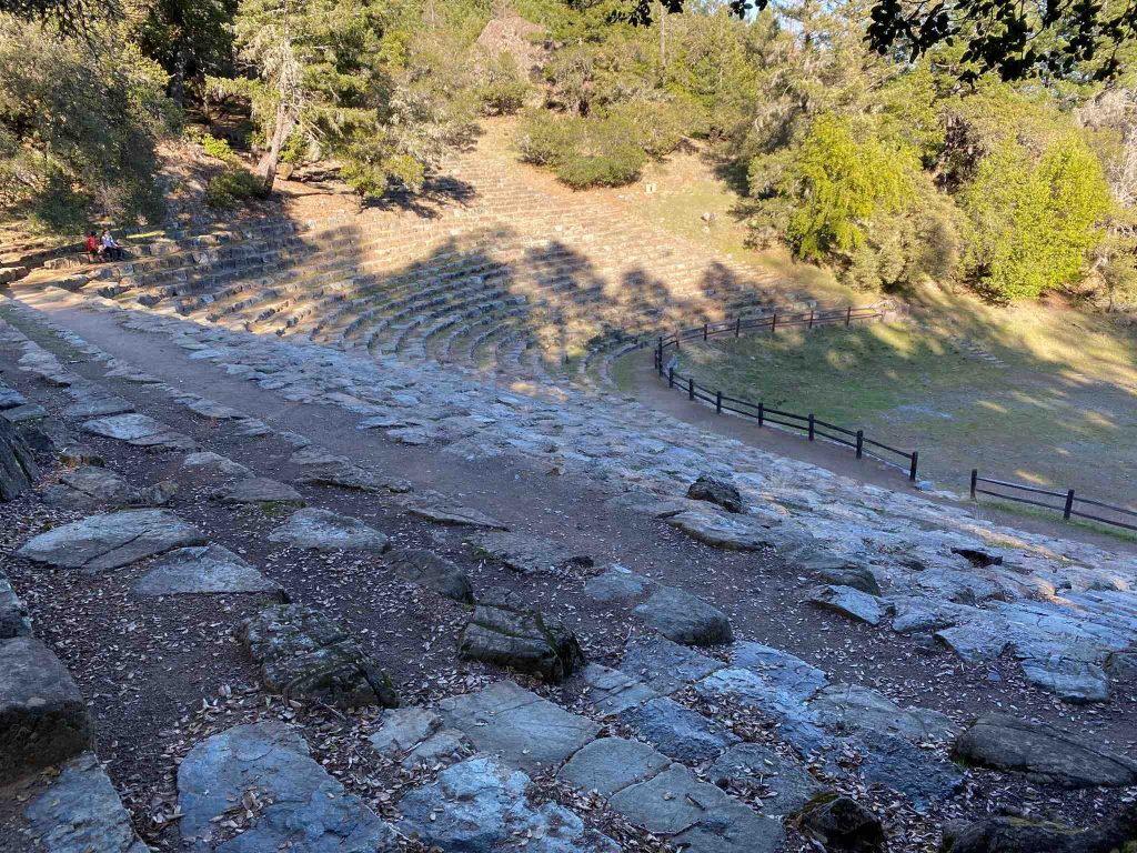
Steep Ravine Trail
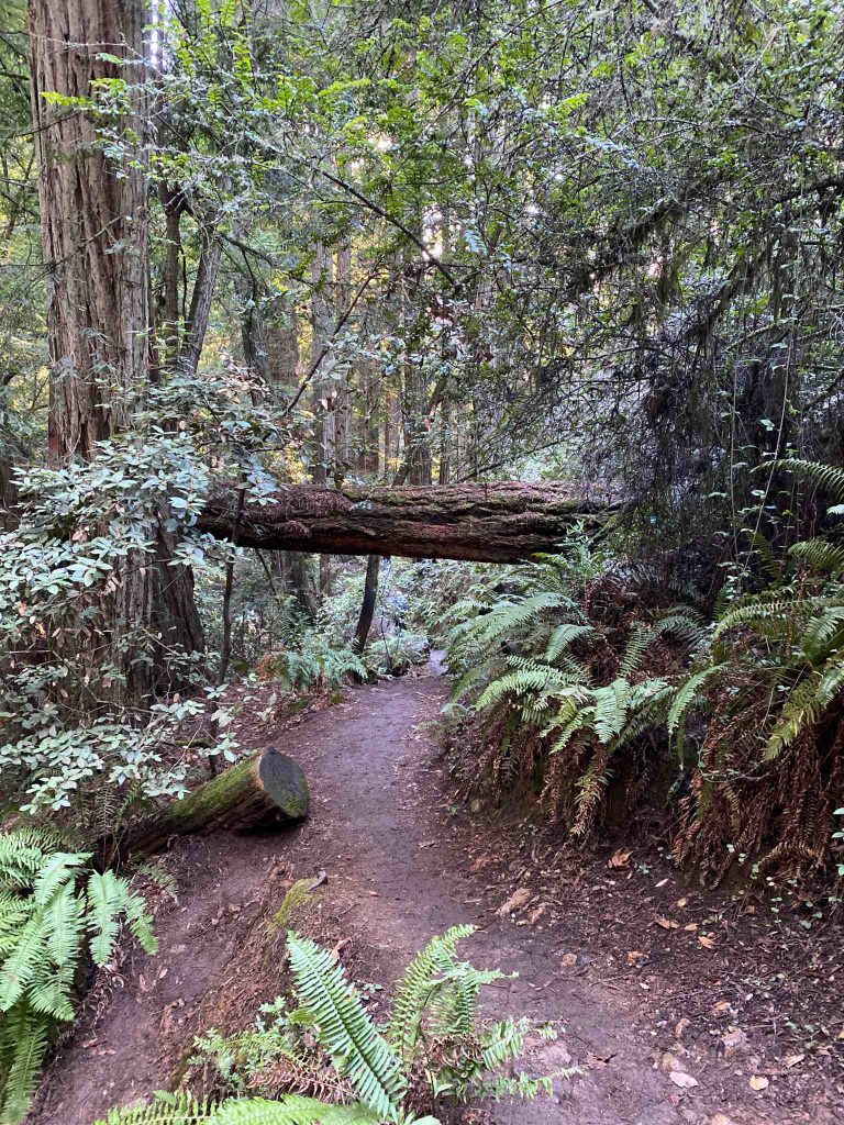
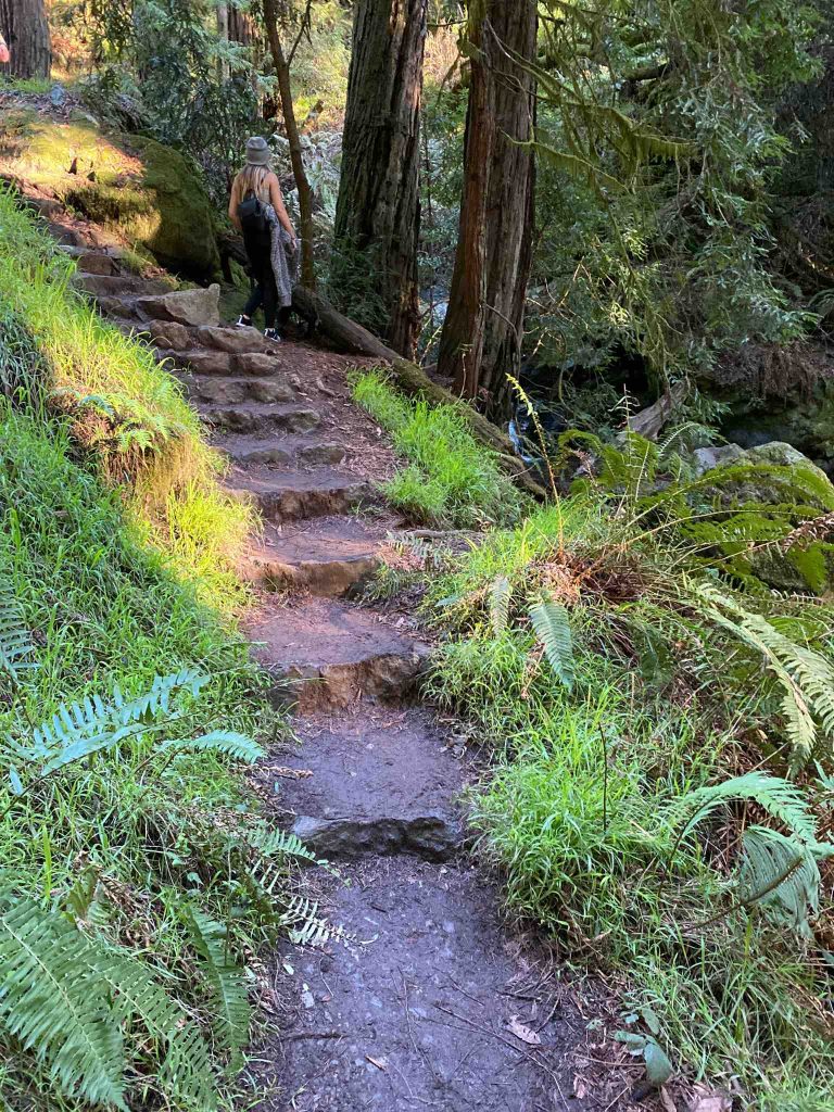
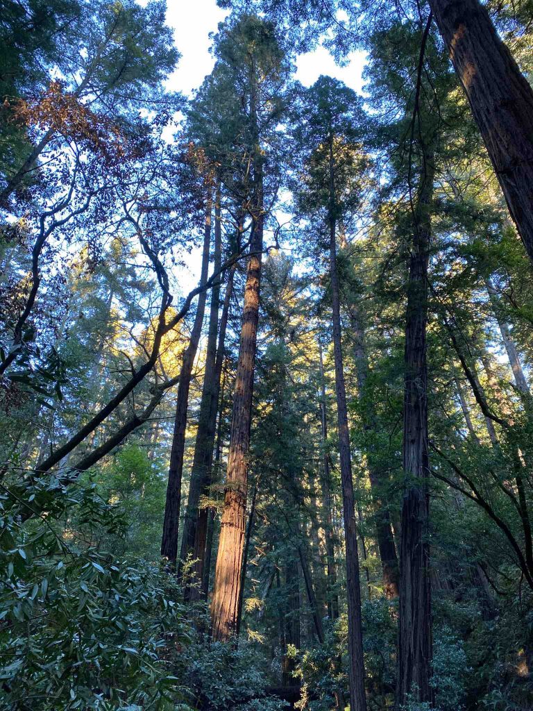
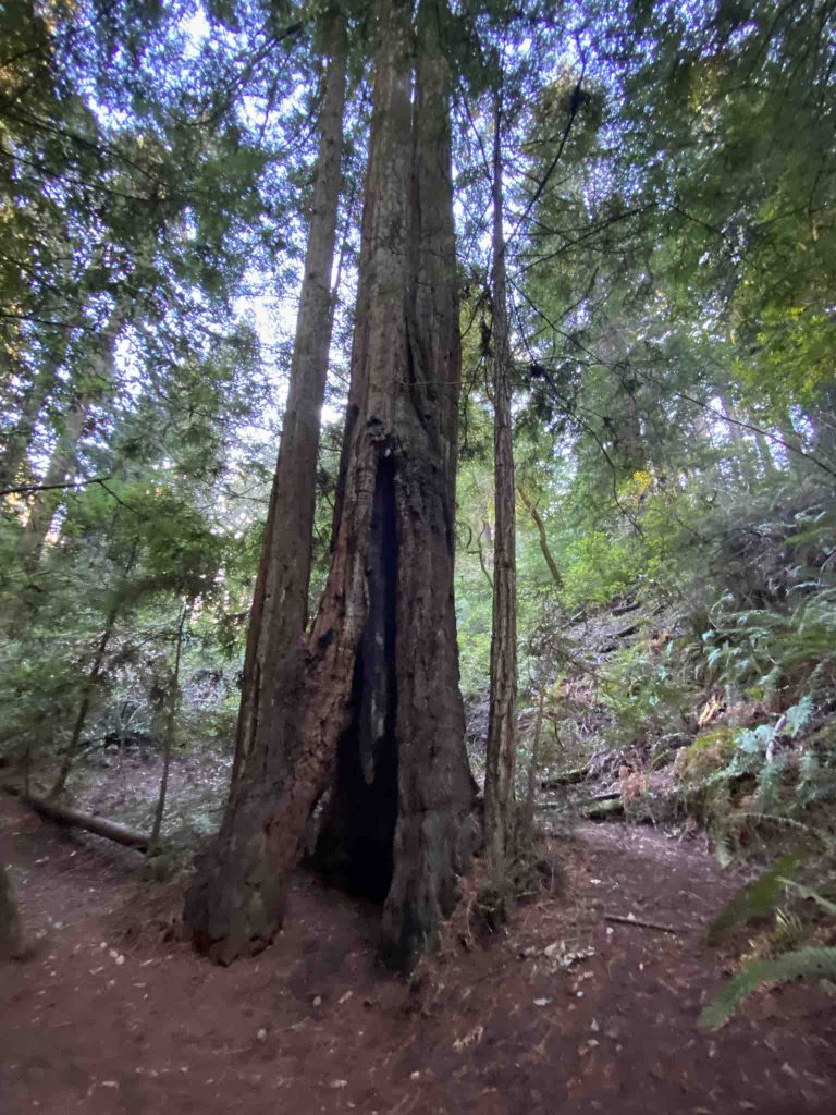
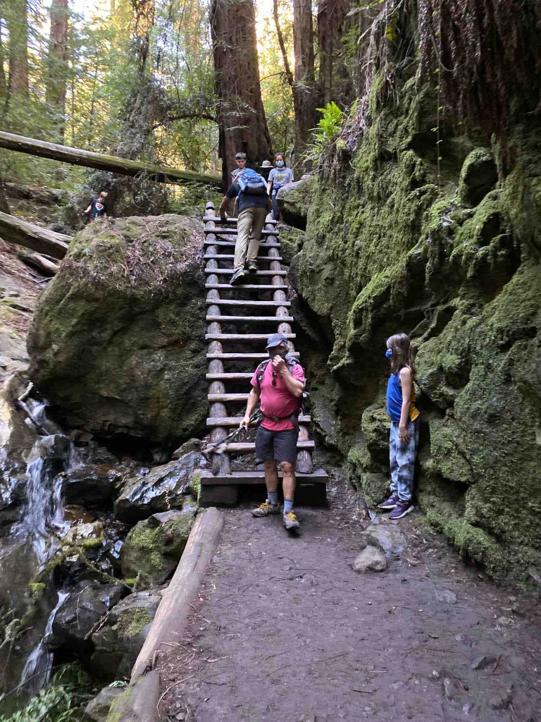
Steep Ravine begins at the rear left back of Pantoll Station parking lot , as a descent into a pretty redwood canyon and gets better with each step. Futhermore, when you descend through this mountain trail, you pass waterfalls , many stairs , along redwoods and down an unexpected but very sturdy ladder.
Ladder
The famous ladder of Steep Ravin. This is a mountain stopping point for sure. Children enjoy the spot.
Dipsea Trail
This is the last portion of this California hike. You leave Steep Ravine and left over the bridge , past an old dam. Dipsea ascends a little, crests then descends easily.
Besides, the view after the crest is breathtaking : the ocean, Stinson Beach, Bolinas Lagoon.
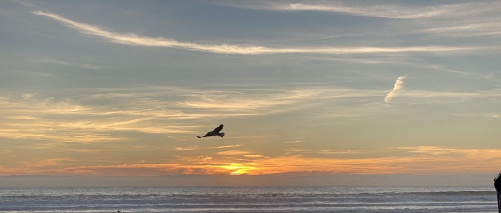
Sunset
Dipsea descends moderately then turns into the woods with a creek on the right. Cross Panoramic Highway and pick up the mountain trail on the opposite side to reach Stinson Beach
Finally, at the end of the day, after severals hours of hiking, back to the parking or, at this point, you may want to relax and enjoy a beautiful sunset on the beach with a take out dinner and a few drinks.
Location : Fire Station – Belvedere Avenue , Stinson Beach CA USA

